135 Luthers Ln Eastham, MA 02642
Estimated Value: $692,000 - $767,000
2
Beds
2
Baths
1,152
Sq Ft
$633/Sq Ft
Est. Value
About This Home
This home is located at 135 Luthers Ln, Eastham, MA 02642 and is currently estimated at $728,642, approximately $632 per square foot. 135 Luthers Ln is a home located in Barnstable County with nearby schools including Eastham Elementary School, Nauset Regional Middle School, and Nauset Regional High School.
Ownership History
Date
Name
Owned For
Owner Type
Purchase Details
Closed on
Aug 23, 2007
Sold by
Dorothy L Dunnington T and Dunnington Dorothy L
Bought by
Handel Jeffrey
Current Estimated Value
Purchase Details
Closed on
Aug 10, 2004
Sold by
Dunnington Dorothy L and Handel Dorothy L
Bought by
Dorothy L Dunnington T and Dunnington Dorothy L
Purchase Details
Closed on
Nov 29, 2000
Sold by
Cadmus Edwin H and Cadmus Mary Alice
Bought by
Handel Dorothy L
Home Financials for this Owner
Home Financials are based on the most recent Mortgage that was taken out on this home.
Original Mortgage
$170,000
Interest Rate
7.76%
Mortgage Type
Purchase Money Mortgage
Create a Home Valuation Report for This Property
The Home Valuation Report is an in-depth analysis detailing your home's value as well as a comparison with similar homes in the area
Home Values in the Area
Average Home Value in this Area
Purchase History
| Date | Buyer | Sale Price | Title Company |
|---|---|---|---|
| Handel Jeffrey | $212,447 | -- | |
| Dorothy L Dunnington T | -- | -- | |
| Handel Dorothy L | $212,500 | -- |
Source: Public Records
Mortgage History
| Date | Status | Borrower | Loan Amount |
|---|---|---|---|
| Open | Handel Dorothy L | $216,000 | |
| Previous Owner | Handel Dorothy L | $168,600 | |
| Previous Owner | Handel Dorothy L | $170,000 |
Source: Public Records
Tax History Compared to Growth
Tax History
| Year | Tax Paid | Tax Assessment Tax Assessment Total Assessment is a certain percentage of the fair market value that is determined by local assessors to be the total taxable value of land and additions on the property. | Land | Improvement |
|---|---|---|---|---|
| 2025 | $4,868 | $631,400 | $368,900 | $262,500 |
| 2024 | $4,298 | $613,100 | $358,200 | $254,900 |
| 2023 | $4,009 | $553,700 | $331,700 | $222,000 |
| 2022 | $3,895 | $454,000 | $296,100 | $157,900 |
| 2021 | $4,317 | $470,300 | $326,800 | $143,500 |
| 2020 | $4,080 | $467,900 | $333,600 | $134,300 |
| 2019 | $3,748 | $454,300 | $323,900 | $130,400 |
| 2018 | $3,684 | $441,200 | $314,500 | $126,700 |
| 2017 | $3,391 | $429,300 | $308,300 | $121,000 |
| 2016 | $3,179 | $427,300 | $308,300 | $119,000 |
| 2015 | $2,966 | $417,700 | $302,200 | $115,500 |
Source: Public Records
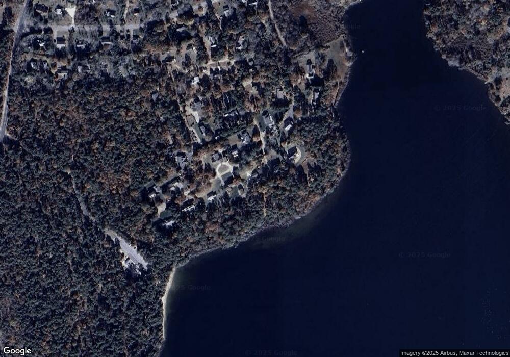
Map
Nearby Homes
- 20 Billingsgate Ave
- 82 Old Orchard Rd
- 2705 State Hwy
- 2705 State Hwy Unit 1-8
- 255 Massasoit Rd
- 20 Redberry Ln
- 85 Huckleberry Ln
- 10 Bradford Ln
- 100 Orchard Dr
- 70 Deerfield Ln
- 25 Forrest Ave
- 35 Old County Rd Unit 1
- 10 Cartway N
- 315 Candlewood Dr
- 55 Grandfathers Way
- 330 Hay Rd
- 20 White Pines Dr
- 50 Silver Oak Rd
- 35 Tracy Ln
- 1061 State Hwy Unit 4