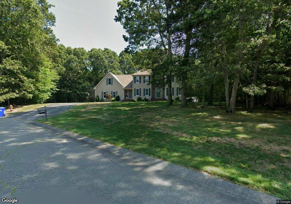
135 Malibu Dr Taunton, MA 02780
Whittenton Junction NeighborhoodEstimated Value: $750,056 - $816,000
3
Beds
3
Baths
2,876
Sq Ft
$269/Sq Ft
Est. Value
About This Home
This home is located at 135 Malibu Dr, Taunton, MA 02780 and is currently estimated at $774,764, approximately $269 per square foot. 135 Malibu Dr is a home located in Bristol County with nearby schools including Benjamin Friedman Middle School, Joseph C. Chamberlain Elementary School, and Taunton High School.
Ownership History
Date
Name
Owned For
Owner Type
Purchase Details
Closed on
May 14, 2024
Sold by
Orcutt Stephen C and Orcutt Nancu A
Bought by
Malibu Dr Rt and Orcutt
Current Estimated Value
Purchase Details
Closed on
Jan 29, 2003
Sold by
Yvon Nadeau Dev Compan
Bought by
Orcutt Nancy A and Orcutt Stephen C
Home Financials for this Owner
Home Financials are based on the most recent Mortgage that was taken out on this home.
Original Mortgage
$322,700
Interest Rate
6.09%
Mortgage Type
Purchase Money Mortgage
Create a Home Valuation Report for This Property
The Home Valuation Report is an in-depth analysis detailing your home's value as well as a comparison with similar homes in the area
Home Values in the Area
Average Home Value in this Area
Purchase History
| Date | Buyer | Sale Price | Title Company |
|---|---|---|---|
| Malibu Dr Rt | -- | None Available | |
| Malibu Dr Rt | -- | None Available | |
| Orcutt Nancy A | $439,417 | -- | |
| Orcutt Nancy A | $439,417 | -- |
Source: Public Records
Mortgage History
| Date | Status | Borrower | Loan Amount |
|---|---|---|---|
| Previous Owner | Orcutt Nancy A | $322,700 |
Source: Public Records
Tax History Compared to Growth
Tax History
| Year | Tax Paid | Tax Assessment Tax Assessment Total Assessment is a certain percentage of the fair market value that is determined by local assessors to be the total taxable value of land and additions on the property. | Land | Improvement |
|---|---|---|---|---|
| 2025 | $7,731 | $706,700 | $157,400 | $549,300 |
| 2024 | $7,291 | $651,600 | $177,200 | $474,400 |
| 2023 | $7,231 | $600,100 | $177,200 | $422,900 |
| 2022 | $7,150 | $542,500 | $155,200 | $387,300 |
| 2021 | $6,928 | $487,900 | $137,200 | $350,700 |
| 2020 | $6,772 | $455,700 | $137,200 | $318,500 |
| 2019 | $7,057 | $447,800 | $149,800 | $298,000 |
| 2018 | $6,907 | $439,400 | $151,100 | $288,300 |
| 2017 | $6,628 | $421,900 | $144,100 | $277,800 |
| 2016 | $6,460 | $412,000 | $139,800 | $272,200 |
| 2015 | $6,303 | $419,900 | $138,800 | $281,100 |
| 2014 | $6,192 | $423,800 | $137,800 | $286,000 |
Source: Public Records
Map
Nearby Homes
- 169 Powderhorn Dr
- 193 Fremont St
- 16 Hunter St Unit A
- 2 Upland Rd
- 750 Whittenton St Unit 523
- 22 Southway
- 0 Norton Ave Unit 73445127
- 563 Whittenton St
- 79 Fremont St
- 17 Davis St
- 0 Montclair Ave Unit 72130752
- 214 Eldridge St
- 20 Grand Ave
- 0 Whittenton St
- 8 N Walker St
- 110 Eldridge St Unit B
- 3 Jeffrey Ln
- 383 Tremont St
- 68 Sabbatia Ln
- Lot 6 Tremont St
- 143 Malibu Dr
- 125 Malibu Dr
- 120 Malibu Dr
- 100 Malibu Dr
- 105 Malibu Dr
- 37 Crane Ave S
- 85 Crane Ave S
- 70 Malibu Dr
- 103 Flintlock Rd
- 95 Flintlock Rd
- 69 Powderhorn Dr
- 111 Flintlock Rd
- 100 Willis Pond Rd
- 59 Powderhorn Dr
- 121 Flintlock Rd
- 49 Powderhorn Dr
- 67 Crane Ave S
- 60 Malibu Dr
- 77 Crane Ave S
- 49 Crane Ave S