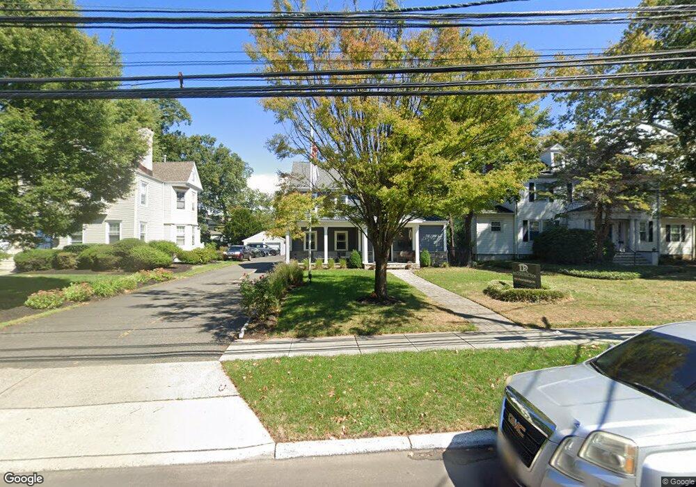
135 Maple Ave Red Bank, NJ 07701
Estimated Value: $842,599
--
Bed
--
Bath
2,851
Sq Ft
$296/Sq Ft
Est. Value
About This Home
This home is located at 135 Maple Ave, Red Bank, NJ 07701 and is currently estimated at $842,599, approximately $295 per square foot. 135 Maple Ave is a home located in Monmouth County with nearby schools including Red Bank Primary School, Red Bank Middle School, and Red Bank Regional High School.
Ownership History
Date
Name
Owned For
Owner Type
Purchase Details
Closed on
Dec 10, 2015
Sold by
Cherokee Realty Ii Llc
Bought by
Center Line Consulting Llc
Current Estimated Value
Purchase Details
Closed on
Oct 15, 2012
Sold by
T A C Holdings Llc
Bought by
Cherokee Realty Ii Llc
Purchase Details
Closed on
Aug 7, 1998
Sold by
Kendall Barbara
Bought by
T A C Holdings
Create a Home Valuation Report for This Property
The Home Valuation Report is an in-depth analysis detailing your home's value as well as a comparison with similar homes in the area
Home Values in the Area
Average Home Value in this Area
Purchase History
| Date | Buyer | Sale Price | Title Company |
|---|---|---|---|
| Center Line Consulting Llc | $540,000 | -- | |
| Cherokee Realty Ii Llc | $375,000 | Coastal Title Agency Inc | |
| T A C Holdings | $276,000 | -- |
Source: Public Records
Tax History Compared to Growth
Tax History
| Year | Tax Paid | Tax Assessment Tax Assessment Total Assessment is a certain percentage of the fair market value that is determined by local assessors to be the total taxable value of land and additions on the property. | Land | Improvement |
|---|---|---|---|---|
| 2025 | $16,015 | $908,300 | $353,900 | $554,400 |
| 2024 | $15,500 | $847,800 | $315,500 | $532,300 |
| 2023 | $15,500 | $811,100 | $315,500 | $495,600 |
| 2022 | $15,133 | $767,900 | $293,500 | $474,400 |
| 2021 | $15,133 | $676,500 | $244,600 | $431,900 |
| 2020 | $14,511 | $638,700 | $244,600 | $394,100 |
| 2019 | $13,861 | $626,900 | $244,600 | $382,300 |
| 2018 | $13,402 | $612,800 | $244,600 | $368,200 |
| 2017 | $12,879 | $610,400 | $244,600 | $365,800 |
| 2016 | $12,663 | $601,000 | $244,600 | $356,400 |
| 2015 | $12,054 | $592,900 | $278,600 | $314,300 |
| 2014 | $12,603 | $658,800 | $309,600 | $349,200 |
Source: Public Records
Map
Nearby Homes
- 59 Leroy Place
- 17 Leroy Place Unit 3B
- 17 Leroy Place Unit 2B
- 59 Peters Place
- 70 Hudson Ave
- 48 Hudson Ave
- 58 Hudson Ave
- 44 Hudson Ave
- 24 Cedar Crossing
- 3 Cedar Crossing
- 159 Bridge Ave
- 23 Cedar Crossing
- 171-173 Bridge Ave
- 23 Wallace St Unit 306
- 82 Linden Place
- 28 Riverside Ave Unit 2G
- 28 Riverside Ave Unit 4g
- 4 Boat Club Ct Unit 3E
- 39 Sunset Ave E
- 69 Washington St
- 133 Maple Ave
- 58 Leroy Place
- 57 Reckless Place
- 54 Leroy Place
- 0 Route 35 Unit 22029523
- 50 Leroy Place
- 157 Maple Ave
- 140 Maple Ave
- 140 Maple Ave Unit 2
- 44 Leroy Place
- 66 Reckless Place
- 130 Maple Ave Unit 2A-S
- 130 Maple Ave Unit 8A
- 130 Maple Ave Unit 10B
- 130 Maple Ave Unit 7A
- 130 Maple Ave Unit WB-1
- 130 Maple Ave Unit 3
- 130 Maple Ave Unit 2A-S
- 130 Maple Ave Unit 3F
- 130 Maple Ave Unit 3G/3H