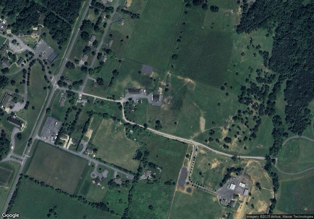
135 Morrison Ln Front Royal, VA 22630
Estimated Value: $447,000 - $585,435
4
Beds
3
Baths
2,496
Sq Ft
$205/Sq Ft
Est. Value
About This Home
This home is located at 135 Morrison Ln, Front Royal, VA 22630 and is currently estimated at $512,859, approximately $205 per square foot. 135 Morrison Ln is a home located in Warren County with nearby schools including Leslie Fox Keyser Elementary School, Warren County High School, and Seton Home Study School.
Ownership History
Date
Name
Owned For
Owner Type
Purchase Details
Closed on
Dec 21, 2007
Sold by
Motre Dame Properties Llc
Bought by
Uhlenkott Paul
Current Estimated Value
Home Financials for this Owner
Home Financials are based on the most recent Mortgage that was taken out on this home.
Original Mortgage
$240,000
Outstanding Balance
$149,835
Interest Rate
6.3%
Mortgage Type
New Conventional
Estimated Equity
$363,024
Create a Home Valuation Report for This Property
The Home Valuation Report is an in-depth analysis detailing your home's value as well as a comparison with similar homes in the area
Home Values in the Area
Average Home Value in this Area
Purchase History
| Date | Buyer | Sale Price | Title Company |
|---|---|---|---|
| Uhlenkott Paul | -- | -- |
Source: Public Records
Mortgage History
| Date | Status | Borrower | Loan Amount |
|---|---|---|---|
| Open | Uhlenkott Paul | $240,000 |
Source: Public Records
Tax History
| Year | Tax Paid | Tax Assessment Tax Assessment Total Assessment is a certain percentage of the fair market value that is determined by local assessors to be the total taxable value of land and additions on the property. | Land | Improvement |
|---|---|---|---|---|
| 2025 | -- | $524,820 | $66,000 | $458,820 |
| 2024 | $207 | $561,300 | $97,500 | $463,800 |
| 2023 | $2,750 | $561,300 | $97,500 | $463,800 |
| 2022 | $2,873 | $438,700 | $90,000 | $348,700 |
| 2021 | $2,618 | $438,700 | $90,000 | $348,700 |
| 2020 | $2,873 | $438,700 | $90,000 | $348,700 |
| 2019 | $2,873 | $438,700 | $90,000 | $348,700 |
| 2018 | $2,537 | $384,400 | $90,000 | $294,400 |
| 2017 | $2,499 | $384,400 | $90,000 | $294,400 |
| 2016 | $2,141 | $384,400 | $90,000 | $294,400 |
| 2015 | -- | $384,400 | $90,000 | $294,400 |
| 2014 | -- | $241,200 | $72,000 | $169,200 |
Source: Public Records
Map
Nearby Homes
- 1960 Zachary Taylor Hwy
- 289 Magnolia Dr
- 0 Riverview Shores Dr Unit VAWR2013108
- 167 Beckwith Dr
- 529 Cherrywood Rd
- 240 Howellsville Rd
- 0 Larkin Ridge Rd Unit VAWR2011810
- 239 Howellsville Rd
- 235 Howellsville Rd
- 0 Pin Oak Rd Unit VAWR2006146
- 223 Brandy Rd
- 755 Wildcat Dr
- 948 Dismal Hollow Rd
- 1076 Stuart Dr
- 00 Corner of Brookland Rd & Summit Point
- 105 Checkerspot Way
- 1207 Oden St
- 507 Meadow Ln
- 0 Gayle Ln Unit 672378
- 2723 Fairground Rd
- 20 Berbusse Ln
- 181 Scenic Dr
- 72 Berbusse Ln
- 56 Morrison Ln
- 97 Scenic Dr
- 102 Berbusse Ln
- 172 Scenic Dr
- 67 Scenic Dr
- 61 Berbusse Ln
- 134 Scenic Dr
- 16 Morrison Ln
- 170 Berbusse Ln
- 17 Morrison Ln
- 97 Berbusse Ln
- 47 Scenic Dr
- 2240 Shenandoah Shores Rd
- 188 Berbusse Ln
- 300 Morrison Ln
- 2276 Shenandoah Shores Rd
- Lot 8A Shenandoah Shores Rd
