135 Mount Apiatan Ct Livermore, CO 80536
Estimated Value: $589,000 - $638,000
2
Beds
2
Baths
1,948
Sq Ft
$313/Sq Ft
Est. Value
About This Home
This home is located at 135 Mount Apiatan Ct, Livermore, CO 80536 and is currently estimated at $609,359, approximately $312 per square foot. 135 Mount Apiatan Ct is a home located in Larimer County with nearby schools including Red Feather Lakes Elementary School, Cache La Poudre Middle School, and Poudre High School.
Ownership History
Date
Name
Owned For
Owner Type
Purchase Details
Closed on
Apr 18, 2008
Sold by
Clemens Patricia K
Bought by
Matthews Patricia K and Clemens Patricia K
Current Estimated Value
Purchase Details
Closed on
Nov 19, 2000
Sold by
Matthews Patricia Kay
Bought by
The Patricia K Matthews Revocable Trust
Purchase Details
Closed on
Jul 1, 1994
Sold by
Glacier View Meadows Inc
Bought by
Matthews Patricia Kay
Purchase Details
Closed on
Jan 1, 1994
Sold by
Glacier Financial Corp
Bought by
Glacier View Meadows Inc
Purchase Details
Closed on
Jan 1, 1993
Sold by
Weixelman Joseph Owen By Donald B Aif
Bought by
Weixelman Joseph Owen
Create a Home Valuation Report for This Property
The Home Valuation Report is an in-depth analysis detailing your home's value as well as a comparison with similar homes in the area
Home Values in the Area
Average Home Value in this Area
Purchase History
| Date | Buyer | Sale Price | Title Company |
|---|---|---|---|
| Matthews Patricia K | -- | None Available | |
| The Patricia K Matthews Revocable Trust | -- | -- | |
| Matthews Patricia Kay | -- | -- | |
| Glacier View Meadows Inc | -- | -- | |
| Weixelman Joseph Owen | -- | -- |
Source: Public Records
Tax History Compared to Growth
Tax History
| Year | Tax Paid | Tax Assessment Tax Assessment Total Assessment is a certain percentage of the fair market value that is determined by local assessors to be the total taxable value of land and additions on the property. | Land | Improvement |
|---|---|---|---|---|
| 2025 | $2,769 | $38,525 | $8,040 | $30,485 |
| 2024 | $2,638 | $38,525 | $8,040 | $30,485 |
| 2022 | $2,020 | $27,800 | $4,170 | $23,630 |
| 2021 | $2,042 | $28,600 | $4,290 | $24,310 |
| 2020 | $1,483 | $22,595 | $3,075 | $19,520 |
| 2019 | $1,489 | $22,595 | $3,075 | $19,520 |
| 2018 | $1,258 | $21,240 | $2,304 | $18,936 |
| 2017 | $1,254 | $21,240 | $2,304 | $18,936 |
| 2016 | $1,314 | $22,606 | $1,990 | $20,616 |
| 2015 | $1,305 | $29,910 | $1,990 | $27,920 |
| 2014 | $1,182 | $21,140 | $2,470 | $18,670 |
Source: Public Records
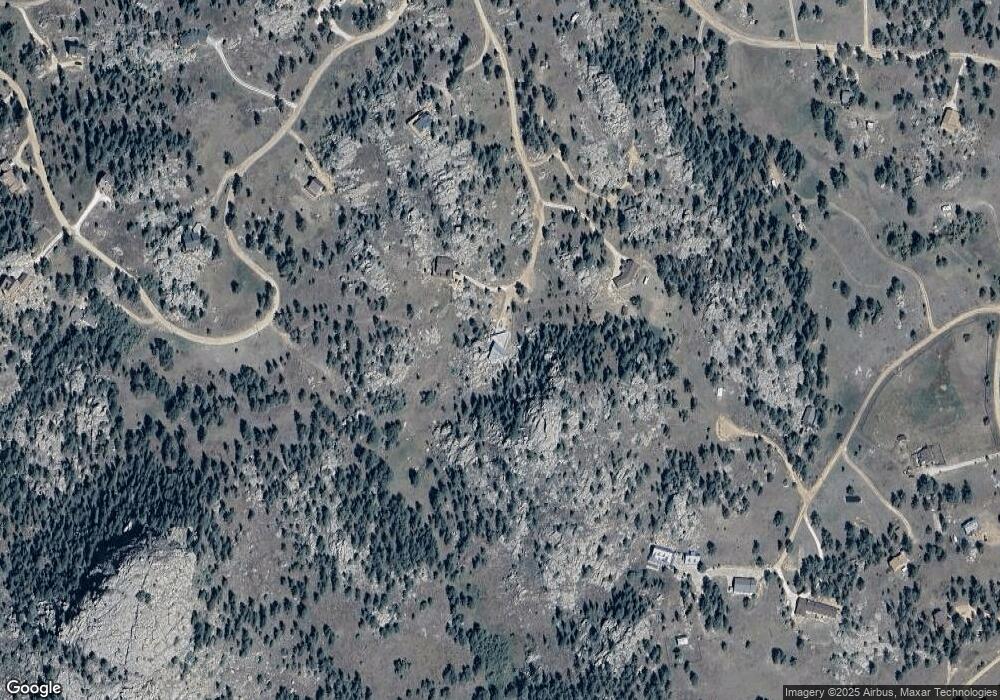
Map
Nearby Homes
- 131 Mount Apiatan Ct
- 102 Mount Princeton Ct
- 166 Red Cloud Peak Ct
- 3309 Green Mountain Dr
- 775 Haystack Dr
- 81 Humboldt Dr
- 64 Mount Massive Dr
- 98 Deadhorse Mountain Ct
- 4092 Green Mountain Dr
- 241 Deadhorse Mountain Ct
- 636 Cucharas Mountain Dr
- 556 Bald Mountain Dr
- 1084 Iron Mountain Dr
- 331 Laplata Dr
- 487 Laplata Dr
- 78 Mount Champion Dr
- 569 Gordon Ct
- 679 Mount Massive Dr
- 366 N Rim Rd
- 490 Gordon Ct
- 190 Mount Apiatan Ct
- 124 Mount Apiatan Ct
- 51 Mount Apiatan Ct
- 682 Manhead Mountain Dr
- 66 Mount Apiatan Ct
- 1515 Bald Mountain Dr
- 1515 Bald Mountain Dr
- 160 Manhead Mountain Dr
- 50 Mount Princeton Ct
- 121 Manhead Mountain Dr
- 480 Manhead Mountain Dr
- 480 Manhead Mountain Dr
- 680 Manhead Mountain Dr
- 480 Manhead Mountain Dr
- 177 Manhead Mountain Dr
- 1502 Bald Mountain Dr
- 970 Manhead Mountain Dr
- 73 Manhead Mountain Dr
- 612 Manhead Mountain Dr
- 144 Manhead Mountain Ct