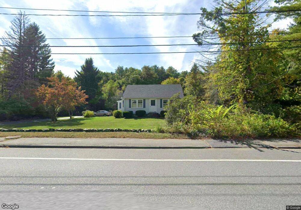
135 N Main St West Boylston, MA 01583
Estimated Value: $432,272 - $530,000
3
Beds
1
Bath
1,181
Sq Ft
$409/Sq Ft
Est. Value
About This Home
This home is located at 135 N Main St, West Boylston, MA 01583 and is currently estimated at $482,568, approximately $408 per square foot. 135 N Main St is a home located in Worcester County with nearby schools including Major Edwards Elementary School and West Boylston Junior/Senior High School.
Ownership History
Date
Name
Owned For
Owner Type
Purchase Details
Closed on
Jul 24, 2023
Sold by
Tarkianinen Jean
Bought by
Jean Tarkiainen Lt and Tarkianinen
Current Estimated Value
Purchase Details
Closed on
Mar 1, 2002
Sold by
Tarkiainen Jean
Bought by
Ashwood Dev Co Inc
Home Financials for this Owner
Home Financials are based on the most recent Mortgage that was taken out on this home.
Original Mortgage
$392,000
Interest Rate
6.85%
Mortgage Type
Purchase Money Mortgage
Create a Home Valuation Report for This Property
The Home Valuation Report is an in-depth analysis detailing your home's value as well as a comparison with similar homes in the area
Home Values in the Area
Average Home Value in this Area
Purchase History
| Date | Buyer | Sale Price | Title Company |
|---|---|---|---|
| Jean Tarkiainen Lt | -- | None Available | |
| Ashwood Dev Co Inc | $110,000 | -- |
Source: Public Records
Mortgage History
| Date | Status | Borrower | Loan Amount |
|---|---|---|---|
| Previous Owner | Ashwood Dev Co Inc | $392,000 |
Source: Public Records
Tax History Compared to Growth
Tax History
| Year | Tax Paid | Tax Assessment Tax Assessment Total Assessment is a certain percentage of the fair market value that is determined by local assessors to be the total taxable value of land and additions on the property. | Land | Improvement |
|---|---|---|---|---|
| 2025 | $51 | $368,400 | $133,700 | $234,700 |
| 2024 | $4,990 | $337,600 | $135,900 | $201,700 |
| 2023 | $5,053 | $324,300 | $133,700 | $190,600 |
| 2022 | $4,828 | $273,100 | $133,700 | $139,400 |
| 2021 | $5,208 | $244,400 | $111,000 | $133,400 |
| 2020 | $5,329 | $236,300 | $111,000 | $125,300 |
| 2019 | $4,266 | $226,300 | $111,000 | $115,300 |
| 2018 | $3,555 | $222,300 | $111,000 | $111,300 |
| 2017 | $3,989 | $212,200 | $111,000 | $101,200 |
| 2016 | $3,777 | $204,700 | $103,600 | $101,100 |
| 2015 | $3,639 | $198,400 | $102,800 | $95,600 |
Source: Public Records
Map
Nearby Homes
- 16 N Main St
- 287 Laurel St
- 0 Boutelle Rd
- 20 Winthrop St
- 61 Boutelle Rd
- 136 Sterling St Unit A3
- 2 Lakeview Ave
- 223 Worcester Rd
- 18 Laurel Ave
- 21 Myrtle Ave
- 0 North St
- 4 Jewett Rd Unit B
- 4 Jewett Rd Unit A
- Lot 1 Manning St
- 156 Prospect St
- 15 N Cove Rd
- 152 Worcester St Unit 8
- 9 Michael Ln
- 43 Chace Hill Rd
- 54 Maple St
- 143 N Main St
- 4 Stillwater Heights Dr
- 127 N Main St
- 127 N Main St Unit 1
- 136 N Main St
- 6 Stillwater Heights Dr
- 151 N Main St
- 3 Stillwater Heights Dr
- 128 N Main St
- 5 Stillwater Heights Dr
- 8 Stillwater Heights Dr
- 154 N Main St
- 122 N Main St
- 121 N Main St
- 12 Stillwater Heights Dr
- 157 N Main St
- 7 Stillwater Heights Dr
- 16 Stillwater Heights Dr
- 43 Stillwater Heights Dr
- 118 N Main St