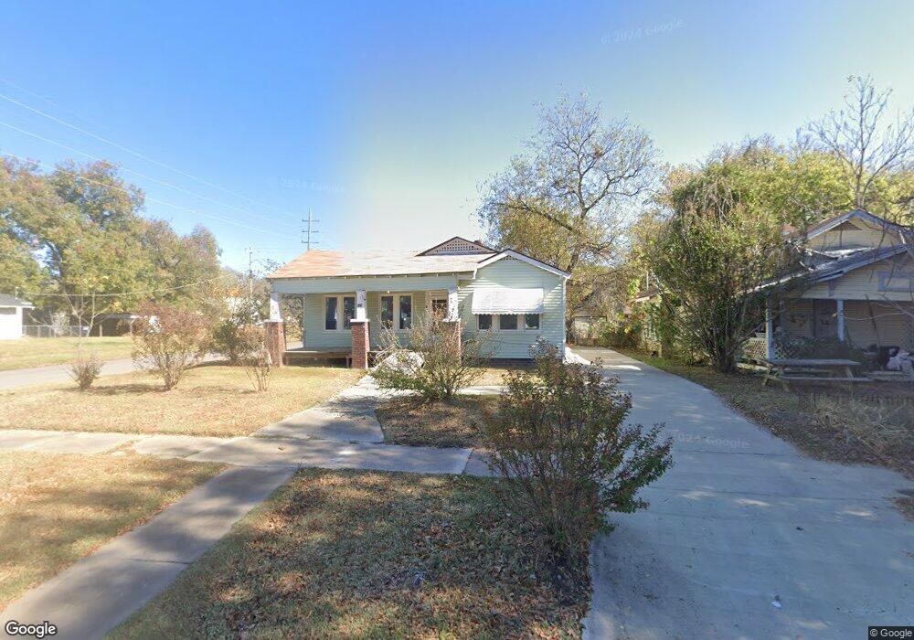
135 N Sherman Ave Okmulgee, OK 74447
Estimated Value: $39,000 - $87,545
3
Beds
1
Bath
1,300
Sq Ft
$46/Sq Ft
Est. Value
About This Home
This home is located at 135 N Sherman Ave, Okmulgee, OK 74447 and is currently estimated at $60,386, approximately $46 per square foot. 135 N Sherman Ave is a home located in Okmulgee County with nearby schools including Okmulgee Primary School, Okmulgee Middle School, and Dunbar Elementary School.
Ownership History
Date
Name
Owned For
Owner Type
Purchase Details
Closed on
Nov 8, 2024
Sold by
Sanchez Kane Lee
Bought by
Mcguire Freddie L and Mcguire Amy M
Current Estimated Value
Purchase Details
Closed on
Feb 2, 2021
Sold by
Trout Tammy L
Bought by
Sanchez Kane Lee
Purchase Details
Closed on
May 3, 2006
Sold by
Howell Claude R and Howell Marietta
Bought by
Trout Tammi L
Purchase Details
Closed on
Mar 1, 2006
Sold by
Us Bank Na
Bought by
Howell Claude
Create a Home Valuation Report for This Property
The Home Valuation Report is an in-depth analysis detailing your home's value as well as a comparison with similar homes in the area
Home Values in the Area
Average Home Value in this Area
Purchase History
| Date | Buyer | Sale Price | Title Company |
|---|---|---|---|
| Mcguire Freddie L | $34,000 | None Listed On Document | |
| Sanchez Kane Lee | $36,000 | None Available | |
| Trout Tammi L | -- | None Available | |
| Howell Claude | $15,000 | First Financial Title Agency |
Source: Public Records
Tax History Compared to Growth
Tax History
| Year | Tax Paid | Tax Assessment Tax Assessment Total Assessment is a certain percentage of the fair market value that is determined by local assessors to be the total taxable value of land and additions on the property. | Land | Improvement |
|---|---|---|---|---|
| 2025 | $374 | $4,081 | $299 | $3,782 |
| 2024 | $423 | $4,865 | $360 | $4,505 |
| 2023 | $367 | $4,320 | $311 | $4,009 |
| 2022 | $365 | $4,320 | $311 | $4,009 |
| 2021 | $253 | $5,001 | $360 | $4,641 |
| 2020 | $241 | $2,729 | $360 | $2,369 |
| 2019 | $229 | $2,598 | $360 | $2,238 |
| 2018 | $221 | $2,475 | $360 | $2,115 |
| 2017 | $209 | $2,357 | $360 | $1,997 |
| 2016 | $199 | $2,244 | $360 | $1,884 |
| 2015 | $184 | $2,137 | $360 | $1,777 |
| 2014 | $176 | $2,036 | $360 | $1,676 |
Source: Public Records
Map
Nearby Homes
- 130 N Taft Ave
- 305 N Taft Ave
- 0096 State Highway 56
- 812 W 6th St
- 1121 W 9th St
- 1100 W 9th St
- 1104 W 9th St
- 700 N Sherman Ave
- 704 N Sherman Ave
- 602 N Collins Ave
- 813 N Kern Ave
- 1400 W Seneca St
- 804 N Griffin Ave
- 530 N Okmulgee Ave
- 502 S Okmulgee Ave
- 908 N Collins Ave
- 0 N Sherman Ave
- 910 N Collins Ave
- 410 S Seminole Ave
- 609 S Alabama Ave
- 131 N Sherman Ave
- 127 N Sherman Ave
- 303 N Sherman Ave
- 125 N Sherman Ave
- 128 N Taft Ave
- 305 N Sherman Ave
- 134 N Sherman Ave
- 126 N Taft Ave
- 124 N Taft Ave
- 126 N Sherman Ave
- 306 N Taft Ave
- 302 N Sherman Ave
- 120 N Taft Ave
- 124 N Sherman Ave
- 308 N Sherman Ave
- 118 N Taft Ave
- 310 N Taft Ave
- 310 N Sherman Ave
- 1112 W 4th St
- 312 N Taft Ave