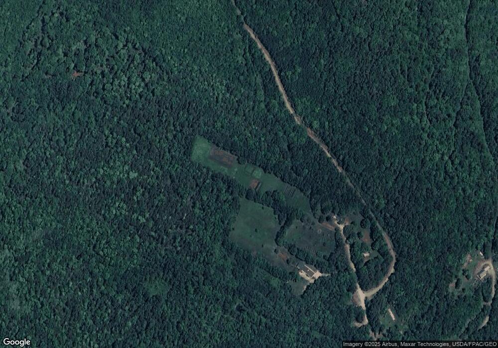
135 Norton Rd Dixfield, ME 04224
Estimated Value: $205,719 - $248,000
3
Beds
2
Baths
924
Sq Ft
$244/Sq Ft
Est. Value
About This Home
This home is located at 135 Norton Rd, Dixfield, ME 04224 and is currently estimated at $225,430, approximately $243 per square foot. 135 Norton Rd is a home located in Oxford County.
Ownership History
Date
Name
Owned For
Owner Type
Purchase Details
Closed on
Jun 27, 2011
Sold by
Frank Matthew E
Bought by
Roy Deobrah L and Roy Mark W
Current Estimated Value
Home Financials for this Owner
Home Financials are based on the most recent Mortgage that was taken out on this home.
Original Mortgage
$75,000
Outstanding Balance
$51,889
Interest Rate
4.63%
Mortgage Type
Purchase Money Mortgage
Estimated Equity
$173,541
Create a Home Valuation Report for This Property
The Home Valuation Report is an in-depth analysis detailing your home's value as well as a comparison with similar homes in the area
Home Values in the Area
Average Home Value in this Area
Purchase History
| Date | Buyer | Sale Price | Title Company |
|---|---|---|---|
| Roy Deobrah L | -- | -- |
Source: Public Records
Mortgage History
| Date | Status | Borrower | Loan Amount |
|---|---|---|---|
| Open | Roy Deobrah L | $75,000 |
Source: Public Records
Tax History Compared to Growth
Tax History
| Year | Tax Paid | Tax Assessment Tax Assessment Total Assessment is a certain percentage of the fair market value that is determined by local assessors to be the total taxable value of land and additions on the property. | Land | Improvement |
|---|---|---|---|---|
| 2024 | $1,960 | $87,700 | $39,100 | $48,600 |
| 2023 | $1,886 | $87,700 | $39,100 | $48,600 |
| 2022 | $1,886 | $87,700 | $39,100 | $48,600 |
| 2021 | $2,105 | $87,700 | $39,100 | $48,600 |
| 2020 | $2,105 | $87,700 | $39,100 | $48,600 |
| 2019 | $2,364 | $87,700 | $39,100 | $48,600 |
| 2018 | $2,333 | $87,700 | $39,100 | $48,600 |
| 2017 | $2,531 | $113,500 | $60,900 | $52,600 |
| 2016 | $2,281 | $113,500 | $60,900 | $52,600 |
| 2015 | $2,315 | $113,500 | $60,900 | $52,600 |
| 2014 | $2,190 | $113,479 | $60,850 | $52,629 |
| 2013 | $2,207 | $113,479 | $60,850 | $52,629 |
Source: Public Records
Map
Nearby Homes
- 89 Holman Rd
- 26 Carter Rd
- 142 Porter Rd
- 191 Basin Rd
- 128 Common Rd
- 10 Mease Rd
- 15 Jackson Hole Dr
- 052 Bradbury Ridge Rd Off Averill
- 158 Common Rd
- 2016 U S 2
- 200 Averill Hill Rd
- 189 Basin Rd
- 6 Victory Ln
- 462 Main St
- Lot 14 Hall Hill Rd
- 89 Hall Hill Rd
- 23 Bradley St
- 13 Dix Ave
- 14 Nash St
- 444 Auburn Rd
- 124 Norton Rd
- Lot#3 Grandview Dr
- Lot 3 Grandview Dr
- 109 Norton Rd
- 24 Sturtevant Rd
- 105 Norton Rd
- 74 Norton Rd
- 65 Norton Rd
- 57 Norton Rd
- 8 Sturtevant Rd
- 00 Norton Rd
- 56 Norton Rd
- TBD Norton Rd
- 000 Gordon Rd
- 25 Norton Rd
- 385 Norton Rd
- 0 Old Towle Rd Unit 592803
- 0 Old Towle Rd Unit 642123
- 0 Old Towle Rd Unit 1126979
- 00 Rt 142
