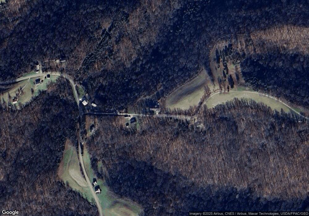
135 Oliver Rd Unit 376 Whipple, OH 45788
Estimated Value: $166,000 - $334,576
4
Beds
3
Baths
2,247
Sq Ft
$108/Sq Ft
Est. Value
About This Home
This home is located at 135 Oliver Rd Unit 376, Whipple, OH 45788 and is currently estimated at $241,859, approximately $107 per square foot. 135 Oliver Rd Unit 376 is a home located in Washington County with nearby schools including Fort Frye High School.
Ownership History
Date
Name
Owned For
Owner Type
Purchase Details
Closed on
Jun 15, 2023
Sold by
Booth Jerald L and Booth Jlea K
Bought by
Booth Family Trust and Booth
Current Estimated Value
Purchase Details
Closed on
May 31, 2006
Sold by
Erb Jeffrey L and Erb Lynn A
Bought by
Booth Jerald L and Booth Jlea K
Home Financials for this Owner
Home Financials are based on the most recent Mortgage that was taken out on this home.
Original Mortgage
$130,000
Interest Rate
6.37%
Mortgage Type
Construction
Purchase Details
Closed on
Sep 23, 2005
Sold by
Hines Kirk A and Hines Marchelle
Bought by
Erb Jeffrey J and Erb Lynn A
Purchase Details
Closed on
Oct 10, 2000
Bought by
Hines Kirk A and Hines Marchalle
Purchase Details
Closed on
Mar 7, 2000
Create a Home Valuation Report for This Property
The Home Valuation Report is an in-depth analysis detailing your home's value as well as a comparison with similar homes in the area
Home Values in the Area
Average Home Value in this Area
Purchase History
| Date | Buyer | Sale Price | Title Company |
|---|---|---|---|
| Booth Family Trust | -- | None Listed On Document | |
| Booth Jerald L | $38,000 | None Available | |
| Erb Jeffrey J | $30,000 | Title First Agency | |
| Hines Kirk A | $23,000 | -- | |
| -- | $10,900 | -- |
Source: Public Records
Mortgage History
| Date | Status | Borrower | Loan Amount |
|---|---|---|---|
| Previous Owner | Booth Jerald L | $130,000 |
Source: Public Records
Tax History Compared to Growth
Tax History
| Year | Tax Paid | Tax Assessment Tax Assessment Total Assessment is a certain percentage of the fair market value that is determined by local assessors to be the total taxable value of land and additions on the property. | Land | Improvement |
|---|---|---|---|---|
| 2024 | $2,049 | $70,430 | $13,400 | $57,030 |
| 2023 | $2,049 | $70,430 | $13,400 | $57,030 |
| 2022 | $2,087 | $70,430 | $13,400 | $57,030 |
| 2021 | $1,733 | $57,190 | $9,470 | $47,720 |
| 2020 | $1,735 | $57,190 | $9,470 | $47,720 |
| 2019 | $1,732 | $57,190 | $9,470 | $47,720 |
| 2018 | $1,557 | $50,270 | $7,900 | $42,370 |
| 2017 | $1,564 | $50,270 | $7,900 | $42,370 |
| 2016 | $2,957 | $50,270 | $7,900 | $42,370 |
| 2015 | $1,409 | $43,540 | $7,610 | $35,930 |
| 2014 | $2,546 | $43,540 | $7,610 | $35,930 |
| 2013 | $1,378 | $43,540 | $7,610 | $35,930 |
Source: Public Records
Map
Nearby Homes
- 2115 Goss Fork Rd
- Lot 4 Moss Run Rd
- 0 Stanleyville Rd
- 4 Moss Run Rd
- 0 Moss Run Rd
- 200 Frakes Rd
- 15999 Ohio 26
- 15999 State Route 26
- 2800 Tick Ridge Rd
- 9865 State Route 821
- 50 & 60 Railroad St
- Lot 3 Brooks Rd
- Lot 1 Brooks Rd
- 65 Warner Second St
- Tract 19 Zion Ridge Rd
- Tract 19 Zion Ridge Rd
- 0 Cow Run Rd Unit 224036842
- 0 Cow Run Rd Unit 5078069
- 1240 Shay Ridge Rd
- 34799 Paw Rd
- 90 Oliver Rd
- 8020 Stanleyville Rd
- 8100 Stanleyville Rd
- 8188 Stanleyville Rd
- 8185 Stanleyville Rd
- 7840 Stanleyville Rd
- 8213 Stanleyville Rd
- 500 Oliver Rd
- 19 Hopman Rd
- 140 Cameron Rd
- 20 Hopman Rd
- 8520 Stanleyville Rd
- 7400 Stanleyville Rd
- 650 Cameron Rd
- 8649 Stanleyville Rd
- 8960 Stanleyville Rd
- 275 Orchard Ln
- 8930 Stanleyville Rd
- 7485 Stanleyville Rd
- 7320 Stanleyville Rd
