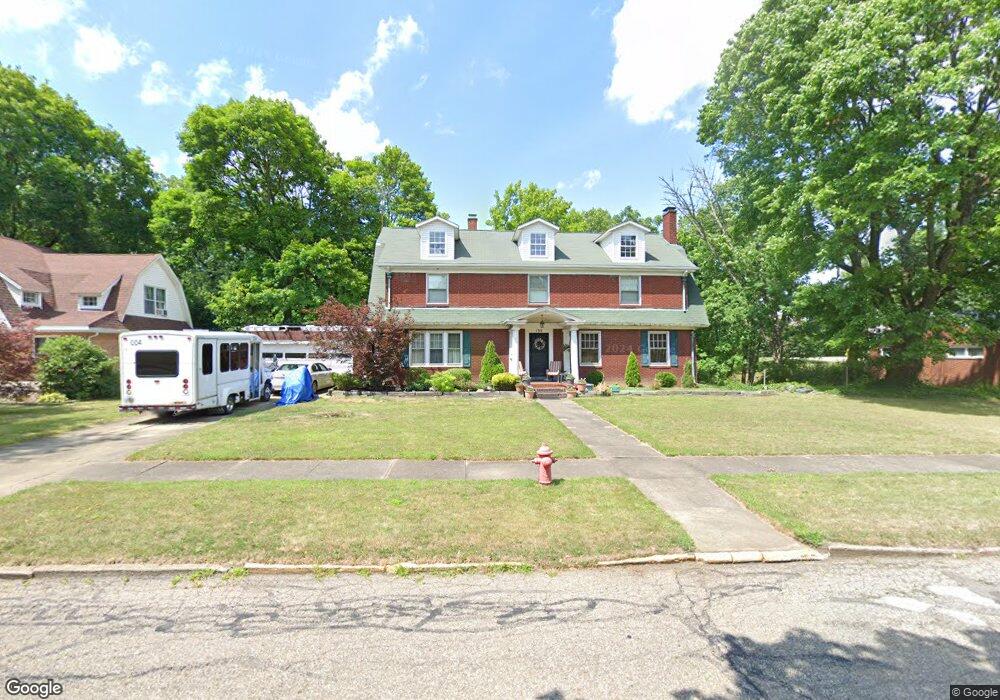
135 Overlook Dr Alliance, OH 44601
Estimated Value: $224,141 - $349,000
4
Beds
2
Baths
3,088
Sq Ft
$94/Sq Ft
Est. Value
About This Home
This home is located at 135 Overlook Dr, Alliance, OH 44601 and is currently estimated at $290,535, approximately $94 per square foot. 135 Overlook Dr is a home located in Stark County with nearby schools including Alliance Early Learning School, Alliance Intermediate School at Northside, and Alliance Middle School.
Ownership History
Date
Name
Owned For
Owner Type
Purchase Details
Closed on
Aug 30, 2006
Sold by
Wiese Karen T and Wiese Robert G
Bought by
King Michael L
Current Estimated Value
Home Financials for this Owner
Home Financials are based on the most recent Mortgage that was taken out on this home.
Original Mortgage
$120,000
Outstanding Balance
$76,205
Interest Rate
7.75%
Mortgage Type
Purchase Money Mortgage
Estimated Equity
$214,330
Create a Home Valuation Report for This Property
The Home Valuation Report is an in-depth analysis detailing your home's value as well as a comparison with similar homes in the area
Home Values in the Area
Average Home Value in this Area
Purchase History
| Date | Buyer | Sale Price | Title Company |
|---|---|---|---|
| King Michael L | $150,000 | None Available |
Source: Public Records
Mortgage History
| Date | Status | Borrower | Loan Amount |
|---|---|---|---|
| Open | King Michael L | $120,000 |
Source: Public Records
Tax History
| Year | Tax Paid | Tax Assessment Tax Assessment Total Assessment is a certain percentage of the fair market value that is determined by local assessors to be the total taxable value of land and additions on the property. | Land | Improvement |
|---|---|---|---|---|
| 2025 | -- | $64,860 | $19,430 | $45,430 |
| 2024 | -- | $64,860 | $19,430 | $45,430 |
| 2023 | $2,205 | $54,880 | $14,630 | $40,250 |
| 2022 | $2,220 | $54,880 | $14,630 | $40,250 |
| 2021 | $2,222 | $54,880 | $14,630 | $40,250 |
| 2020 | $2,093 | $48,270 | $12,710 | $35,560 |
| 2019 | $2,063 | $48,270 | $12,710 | $35,560 |
Source: Public Records
Map
Nearby Homes
- 203 Glamorgan St
- 224 Shadyside Ct
- 167 11th St
- 233 Shadyside Ct
- 46 Rosenberry St
- 807 S Union Ave
- 226 Milner St
- 234 Rosenberry St
- 390 E College St
- 1136 Parkway Blvd
- 1050 Parkway Blvd
- 551 South St
- 1805 S Linden Ave
- 726 S Arch Ave
- 870 Parkway Blvd
- 2117 Miller Ave
- 535 S Union Ave
- 2041 Watson Ave
- 970 Kingsway St
- 228 W Oxford St
- 151 Overlook Dr
- 111 Overlook Dr
- 161 Overlook Dr
- 88 Overlook Dr
- 162 Overlook Dr
- 219 Overlook Dr
- 114 Overlook Dr
- 212 Overlook Dr
- 237 Overlook Dr
- 244 Overlook Dr
- 1251 S Union Ave
- 302 Overlook Dr
- 316 Overlook Dr
- 329 Overlook Dr
- 141 Vincent St
- 115 Vincent St
- 127 Vincent St
- 345 Overlook Dr
- 155 Vincent St
- 101 Vincent St