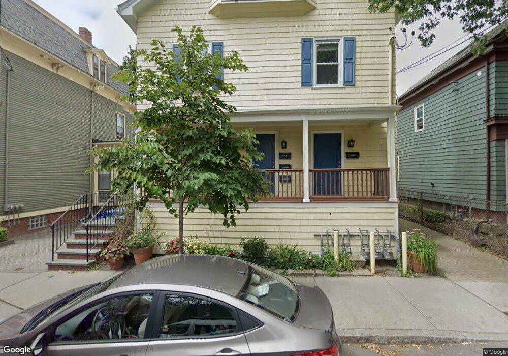
135 Pearl St Unit 139 Cambridge, MA 02139
Cambridgeport NeighborhoodEstimated Value: $614,000 - $815,000
1
Bed
1
Bath
634
Sq Ft
$1,053/Sq Ft
Est. Value
About This Home
This home is located at 135 Pearl St Unit 139, Cambridge, MA 02139 and is currently estimated at $667,387, approximately $1,052 per square foot. 135 Pearl St Unit 139 is a home located in Middlesex County with nearby schools including Prospect Hill Academy Charter School.
Ownership History
Date
Name
Owned For
Owner Type
Purchase Details
Closed on
Jul 24, 2008
Sold by
Recevik Murat
Bought by
Ciccia Marissa J
Current Estimated Value
Purchase Details
Closed on
Jul 21, 2005
Sold by
Dull Michael L
Bought by
Recevik Murat
Home Financials for this Owner
Home Financials are based on the most recent Mortgage that was taken out on this home.
Original Mortgage
$150,000
Interest Rate
5.59%
Mortgage Type
Purchase Money Mortgage
Create a Home Valuation Report for This Property
The Home Valuation Report is an in-depth analysis detailing your home's value as well as a comparison with similar homes in the area
Home Values in the Area
Average Home Value in this Area
Purchase History
| Date | Buyer | Sale Price | Title Company |
|---|---|---|---|
| Ciccia Marissa J | -- | -- | |
| Recevik Murat | $238,000 | -- |
Source: Public Records
Mortgage History
| Date | Status | Borrower | Loan Amount |
|---|---|---|---|
| Previous Owner | Recevik Murat | $150,000 |
Source: Public Records
Tax History Compared to Growth
Tax History
| Year | Tax Paid | Tax Assessment Tax Assessment Total Assessment is a certain percentage of the fair market value that is determined by local assessors to be the total taxable value of land and additions on the property. | Land | Improvement |
|---|---|---|---|---|
| 2025 | $3,630 | $571,700 | $0 | $571,700 |
| 2024 | $3,209 | $542,000 | $0 | $542,000 |
| 2023 | $3,261 | $556,500 | $0 | $556,500 |
| 2022 | $3,206 | $553,200 | $0 | $553,200 |
| 2021 | $3,206 | $548,000 | $0 | $548,000 |
| 2020 | $3,159 | $549,400 | $0 | $549,400 |
| 2019 | $3,024 | $509,100 | $0 | $509,100 |
| 2018 | $3,004 | $466,600 | $0 | $466,600 |
| 2017 | $2,710 | $417,500 | $0 | $417,500 |
| 2016 | $2,489 | $356,100 | $0 | $356,100 |
| 2015 | $2,461 | $314,700 | $0 | $314,700 |
| 2014 | $2,419 | $288,700 | $0 | $288,700 |
Source: Public Records
Map
Nearby Homes
- 125 Brookline St Unit 4
- 6-8 Watson St Unit 8
- 8 Watson St Unit 8
- 131 Erie St Unit 3
- 131 Erie St
- 161 Hamilton St
- 127 Auburn St
- 129 Auburn St
- 174 Hamilton St
- 73 River St Unit 4B
- 214 Allston St
- 1 Jay St
- 300 Franklin St Unit 5
- 300 Franklin St Unit 1
- 300 Franklin St Unit 2
- 120 Pleasant St Unit 1
- 260 Sidney St Unit 3R
- 53 Jay St Unit 2
- 12 Inman St Unit 55
- 149A Bishop Allen Unit A
- 135 Pearl St Unit 139
- 135 Pearl St Unit 139
- 135 Pearl St Unit 139
- 135 Pearl St Unit 139
- 135 Pearl St Unit 139
- 135 Pearl St Unit 5
- 135 Pearl St Unit 3
- 135 Pearl St Unit 2
- 135 Pearl St Unit 4F
- 135 Pearl St Unit 4
- 135 Pearl St
- 135-139 Pearl St Unit 1
- 133 Pearl St
- 141 Pearl St
- 141 Pearl St Unit 1
- 8 Perry St
- 145 Pearl St
- 145 Pearl St Unit 145
- 145 Pearl St Unit 1
- 32 Decatur St