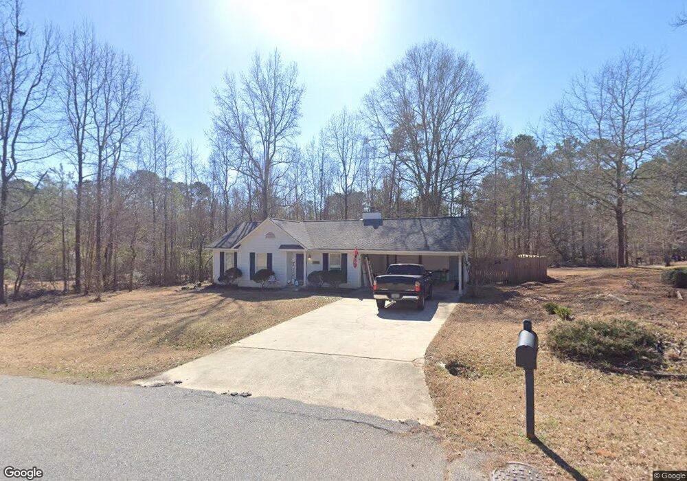
135 Pointers Ridge Dr Athens, GA 30606
Estimated Value: $253,000 - $288,000
3
Beds
2
Baths
1,092
Sq Ft
$250/Sq Ft
Est. Value
About This Home
This home is located at 135 Pointers Ridge Dr, Athens, GA 30606 and is currently estimated at $272,658, approximately $249 per square foot. 135 Pointers Ridge Dr is a home located in Clarke County with nearby schools including Whitehead Road Elementary School, Burney-Harris-Lyons Middle School, and Clarke Central High School.
Ownership History
Date
Name
Owned For
Owner Type
Purchase Details
Closed on
May 27, 2004
Sold by
Brink Ryan James and Abby Brink
Bought by
Carson Benjamin K
Current Estimated Value
Purchase Details
Closed on
Apr 15, 2002
Sold by
Cohen Stephen J and Cohen Margaret M
Bought by
Brink Ryan James and Abby Brink
Purchase Details
Closed on
Jul 19, 2000
Sold by
Tate Tommy Craig and Tracy Dudle
Bought by
Cohen Stephen J and Cohen Margaret M
Purchase Details
Closed on
Jun 29, 1990
Sold by
J Ronnie Huff Inc
Bought by
Tate Tommy Craig and Tracy Dudley Tat
Purchase Details
Closed on
Dec 5, 1989
Sold by
Padgett John L
Bought by
J Ronnie Huff Inc
Create a Home Valuation Report for This Property
The Home Valuation Report is an in-depth analysis detailing your home's value as well as a comparison with similar homes in the area
Home Values in the Area
Average Home Value in this Area
Purchase History
| Date | Buyer | Sale Price | Title Company |
|---|---|---|---|
| Carson Benjamin K | $116,000 | -- | |
| Brink Ryan James | $103,500 | -- | |
| Cohen Stephen J | $96,500 | -- | |
| Tate Tommy Craig | $60,800 | -- | |
| J Ronnie Huff Inc | -- | -- |
Source: Public Records
Tax History Compared to Growth
Tax History
| Year | Tax Paid | Tax Assessment Tax Assessment Total Assessment is a certain percentage of the fair market value that is determined by local assessors to be the total taxable value of land and additions on the property. | Land | Improvement |
|---|---|---|---|---|
| 2025 | $2,740 | $88,254 | $14,000 | $74,254 |
| 2024 | $2,740 | $79,111 | $12,000 | $67,111 |
| 2023 | $2,472 | $75,074 | $12,000 | $63,074 |
| 2022 | $1,998 | $62,626 | $10,400 | $52,226 |
| 2021 | $1,764 | $52,356 | $10,400 | $41,956 |
| 2020 | $1,644 | $48,777 | $10,400 | $38,377 |
| 2019 | $1,560 | $45,943 | $9,600 | $36,343 |
| 2018 | $1,535 | $45,212 | $9,600 | $35,612 |
| 2017 | $1,491 | $43,923 | $9,600 | $34,323 |
| 2016 | $1,410 | $41,525 | $9,600 | $31,925 |
| 2015 | $1,279 | $37,618 | $9,600 | $28,018 |
| 2014 | $1,206 | $35,423 | $9,600 | $25,823 |
Source: Public Records
Map
Nearby Homes
- 175 Winchester Way
- 150 Remington Way
- 130 Pointers Ridge Dr
- 165 Pointers Ridge Dr
- 105 Winchester Way
- 225 Pointers Ridge Rd
- 135 Winchester Way
- 120 Pointers Ridge Dr
- 150 Pointers Ridge Dr
- 130 Winchester Way
- 160 Remington Way
- 140 Winchester Way
- 170 Pointers Ridge Dr
- 160 Winchester Way
- 115 Pointers Ridge Rd
- 150 Winchester Way
- 155 Remington Way
- 175 Covey Ln
- 180 Pointers Ridge Dr
- 190 Remington Way