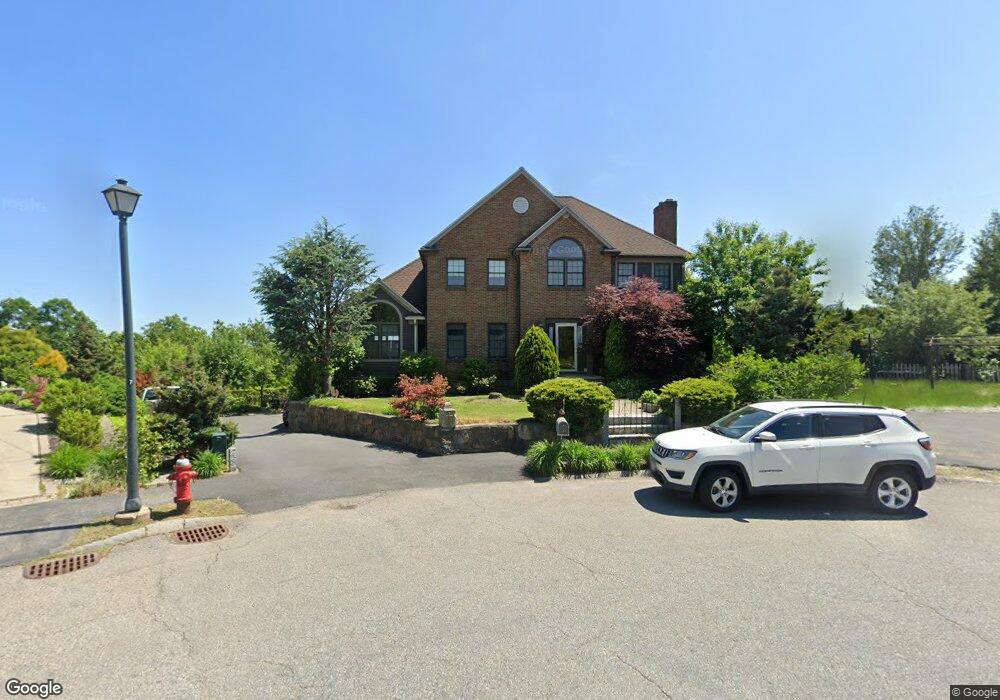
135 Range Heights Rd Lynn, MA 01904
Indian Ridge NeighborhoodEstimated Value: $964,000 - $1,006,000
3
Beds
4
Baths
2,590
Sq Ft
$382/Sq Ft
Est. Value
About This Home
This home is located at 135 Range Heights Rd, Lynn, MA 01904 and is currently estimated at $988,385, approximately $381 per square foot. 135 Range Heights Rd is a home located in Essex County with nearby schools including Lynn Woods Elementary School, William R. Fallon School, and New Paths Area Learning Center.
Ownership History
Date
Name
Owned For
Owner Type
Purchase Details
Closed on
May 3, 2004
Sold by
Range Heights Road Rt and Smith Theodore J
Bought by
Faia Charles D and Faia Susan C
Current Estimated Value
Home Financials for this Owner
Home Financials are based on the most recent Mortgage that was taken out on this home.
Original Mortgage
$110,000
Interest Rate
5.36%
Mortgage Type
Purchase Money Mortgage
Create a Home Valuation Report for This Property
The Home Valuation Report is an in-depth analysis detailing your home's value as well as a comparison with similar homes in the area
Home Values in the Area
Average Home Value in this Area
Purchase History
| Date | Buyer | Sale Price | Title Company |
|---|---|---|---|
| Faia Charles D | $148,500 | -- | |
| Faia Charles D | $148,500 | -- |
Source: Public Records
Mortgage History
| Date | Status | Borrower | Loan Amount |
|---|---|---|---|
| Open | Faia Charles D | $200,000 | |
| Closed | Faia Charles D | $110,000 |
Source: Public Records
Tax History Compared to Growth
Tax History
| Year | Tax Paid | Tax Assessment Tax Assessment Total Assessment is a certain percentage of the fair market value that is determined by local assessors to be the total taxable value of land and additions on the property. | Land | Improvement |
|---|---|---|---|---|
| 2025 | $10,604 | $1,023,600 | $228,200 | $795,400 |
| 2024 | $10,111 | $960,200 | $211,100 | $749,100 |
| 2023 | $9,663 | $866,600 | $204,000 | $662,600 |
| 2022 | $9,946 | $800,200 | $184,900 | $615,300 |
| 2021 | $9,451 | $725,300 | $181,900 | $543,400 |
| 2020 | $9,565 | $713,800 | $192,300 | $521,500 |
| 2019 | $9,362 | $654,700 | $167,500 | $487,200 |
| 2018 | $9,510 | $627,700 | $198,900 | $428,800 |
| 2017 | $8,940 | $573,100 | $172,100 | $401,000 |
| 2016 | $8,679 | $536,400 | $157,300 | $379,100 |
| 2015 | $8,442 | $504,000 | $157,300 | $346,700 |
Source: Public Records
Map
Nearby Homes
- 69 Saunders Rd
- 85 Range Ave
- 35 Oak Ridge Cir
- 29 Rockway Rd
- 34 Glendale Ave
- 68 Sutcliffe Rd
- 37 Millard Ave
- 18 Woodrow Terrace
- 131 Den Quarry Rd
- 12 Kernwood Dr
- 5 Sherbrook Place
- 232 Lynn St
- 217 Cedar Brook Rd
- 2 Anchor Rd
- 3 Veterans Memorial Dr
- 6 Christopher Terrace
- 325 Den Quarry Rd
- 64 Bacheller St
- 53 Kelly Ln
- 45 Anchor Rd
- 131 Range Heights Rd
- 136 Range Heights Rd
- 132 Range Heights Rd
- 35 Phaeton Rock Rd
- 126 Range Heights Rd
- 45 Phaeton Rock Rd
- 49 Saunders Rd
- 123 Range Heights Rd
- 51 Saunders Rd
- 43 Saunders Rd
- 55 Saunders Rd
- 8 Lauren Ln
- 37 Saunders Rd
- 84 Bay State Rd
- 49 Phaeton Rock Rd
- 80 Bay State Rd
- 25 Hillside Ave
- 120 Range Heights Rd
- 65 Saunders Rd
- 119 Range Heights Rd