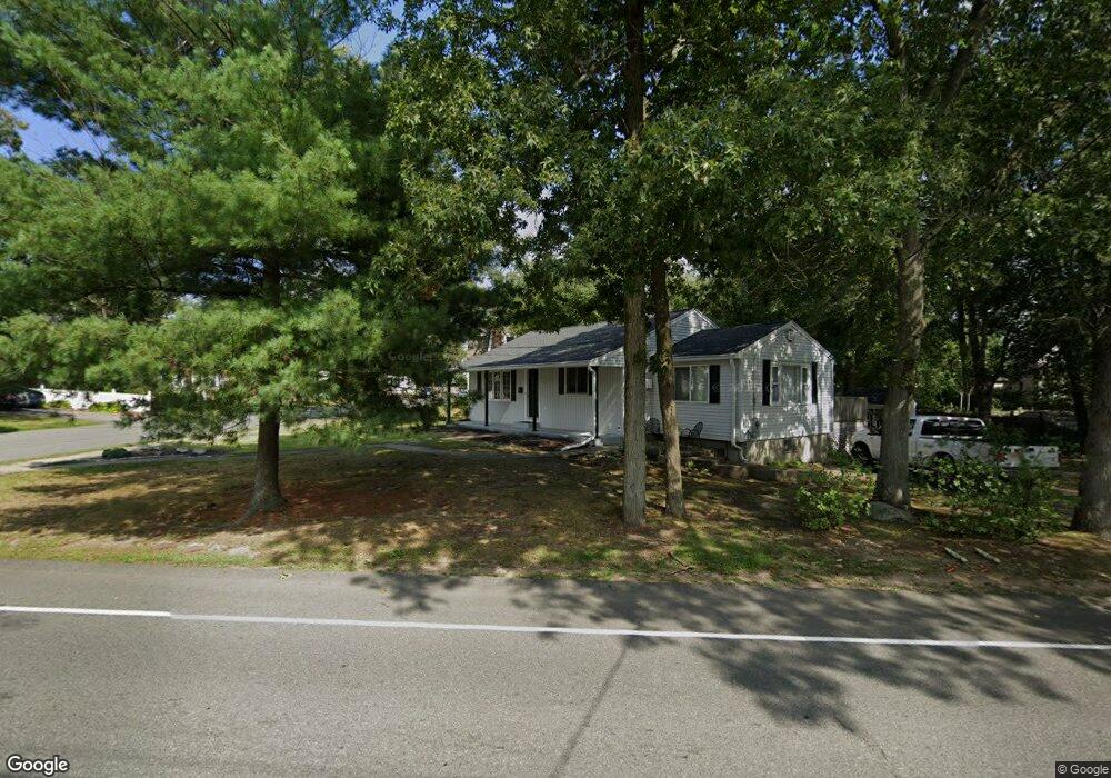
135 Raynor Ave Whitman, MA 02382
Estimated Value: $499,000 - $519,000
2
Beds
1
Bath
1,080
Sq Ft
$470/Sq Ft
Est. Value
About This Home
This home is located at 135 Raynor Ave, Whitman, MA 02382 and is currently estimated at $507,114, approximately $469 per square foot. 135 Raynor Ave is a home located in Plymouth County with nearby schools including St Bridget School.
Ownership History
Date
Name
Owned For
Owner Type
Purchase Details
Closed on
May 6, 2011
Sold by
Dunkle Elisabeth H and Browne Vanessa J
Bought by
Clark Christopher
Current Estimated Value
Home Financials for this Owner
Home Financials are based on the most recent Mortgage that was taken out on this home.
Original Mortgage
$185,183
Outstanding Balance
$128,337
Interest Rate
4.82%
Mortgage Type
Purchase Money Mortgage
Estimated Equity
$378,777
Purchase Details
Closed on
May 25, 2005
Sold by
Russo Richard G and Russo Helen M
Bought by
Dunkle Elisabeth H and Browne Vanessa J
Purchase Details
Closed on
Mar 30, 2000
Sold by
Whitenack Barbara W
Bought by
Davis Helen M
Home Financials for this Owner
Home Financials are based on the most recent Mortgage that was taken out on this home.
Original Mortgage
$132,000
Interest Rate
8.4%
Mortgage Type
Purchase Money Mortgage
Create a Home Valuation Report for This Property
The Home Valuation Report is an in-depth analysis detailing your home's value as well as a comparison with similar homes in the area
Home Values in the Area
Average Home Value in this Area
Purchase History
| Date | Buyer | Sale Price | Title Company |
|---|---|---|---|
| Clark Christopher | $190,000 | -- | |
| Dunkle Elisabeth H | $305,000 | -- | |
| Davis Helen M | $165,000 | -- |
Source: Public Records
Mortgage History
| Date | Status | Borrower | Loan Amount |
|---|---|---|---|
| Open | Clark Christopher | $185,183 | |
| Previous Owner | Davis Helen M | $137,000 | |
| Previous Owner | Davis Helen M | $132,000 |
Source: Public Records
Tax History Compared to Growth
Tax History
| Year | Tax Paid | Tax Assessment Tax Assessment Total Assessment is a certain percentage of the fair market value that is determined by local assessors to be the total taxable value of land and additions on the property. | Land | Improvement |
|---|---|---|---|---|
| 2025 | $5,548 | $422,900 | $213,500 | $209,400 |
| 2024 | $5,262 | $413,000 | $209,400 | $203,600 |
| 2023 | $5,062 | $373,000 | $181,500 | $191,500 |
| 2022 | $4,926 | $338,300 | $165,000 | $173,300 |
| 2021 | $4,777 | $308,200 | $151,600 | $156,600 |
| 2020 | $4,617 | $291,300 | $144,400 | $146,900 |
| 2019 | $4,308 | $280,100 | $144,400 | $135,700 |
| 2018 | $4,127 | $257,800 | $136,100 | $121,700 |
| 2017 | $3,888 | $257,800 | $136,100 | $121,700 |
| 2016 | $3,576 | $229,400 | $128,900 | $100,500 |
| 2015 | $3,341 | $214,000 | $113,500 | $100,500 |
Source: Public Records
Map
Nearby Homes
- 40 Lazel St
- 170 Pleasant St
- 23 Reed Place
- 608 Plymouth St
- 684 South Ave
- 110 South Ave Unit 14
- 110 South Ave
- 54-56 Stetson St
- 21 Strawberry Ln
- 48 Day St
- 35 Dana St
- 214 Winter St
- 20 Elm Place
- 63 Dewey Ave
- 131 Holly Ridge Dr
- 532 Washington St
- 53 Temple St
- 135-137 Temple St
- 164 Warren Ave
- 150 Harvard St