135 Ridge Common Fairfield, CT 06824
Greenfield Hill NeighborhoodEstimated Value: $1,867,000 - $2,838,000
4
Beds
6
Baths
5,850
Sq Ft
$396/Sq Ft
Est. Value
About This Home
This home is located at 135 Ridge Common, Fairfield, CT 06824 and is currently estimated at $2,313,983, approximately $395 per square foot. 135 Ridge Common is a home located in Fairfield County with nearby schools including Burr Elementary School, Tomlinson Middle School, and Fairfield Warde High School.
Ownership History
Date
Name
Owned For
Owner Type
Purchase Details
Closed on
Aug 28, 1997
Sold by
Williams John W and Williams Anne Marie
Bought by
Tennant Joan L and Tennant William H
Current Estimated Value
Home Financials for this Owner
Home Financials are based on the most recent Mortgage that was taken out on this home.
Original Mortgage
$697,050
Outstanding Balance
$107,454
Interest Rate
7.41%
Mortgage Type
Unknown
Estimated Equity
$2,206,529
Create a Home Valuation Report for This Property
The Home Valuation Report is an in-depth analysis detailing your home's value as well as a comparison with similar homes in the area
Home Values in the Area
Average Home Value in this Area
Purchase History
| Date | Buyer | Sale Price | Title Company |
|---|---|---|---|
| Tennant Joan L | $850,000 | -- | |
| Tennant Joan L | $850,000 | -- |
Source: Public Records
Mortgage History
| Date | Status | Borrower | Loan Amount |
|---|---|---|---|
| Open | Tennant Joan L | $697,050 | |
| Closed | Tennant Joan L | $697,050 | |
| Previous Owner | Tennant Joan L | $325,000 |
Source: Public Records
Tax History
| Year | Tax Paid | Tax Assessment Tax Assessment Total Assessment is a certain percentage of the fair market value that is determined by local assessors to be the total taxable value of land and additions on the property. | Land | Improvement |
|---|---|---|---|---|
| 2025 | $23,567 | $830,130 | $265,160 | $564,970 |
| 2024 | $23,161 | $830,130 | $265,160 | $564,970 |
| 2023 | $22,837 | $830,130 | $265,160 | $564,970 |
| 2022 | $22,613 | $830,130 | $265,160 | $564,970 |
| 2021 | $22,397 | $830,130 | $265,160 | $564,970 |
| 2020 | $26,054 | $972,510 | $289,660 | $682,850 |
| 2019 | $26,054 | $972,510 | $289,660 | $682,850 |
| 2018 | $25,635 | $972,510 | $289,660 | $682,850 |
| 2017 | $25,110 | $972,510 | $289,660 | $682,850 |
| 2016 | $24,750 | $972,510 | $289,660 | $682,850 |
| 2015 | $29,903 | $1,206,240 | $338,940 | $867,300 |
| 2014 | $29,432 | $1,206,240 | $338,940 | $867,300 |
Source: Public Records
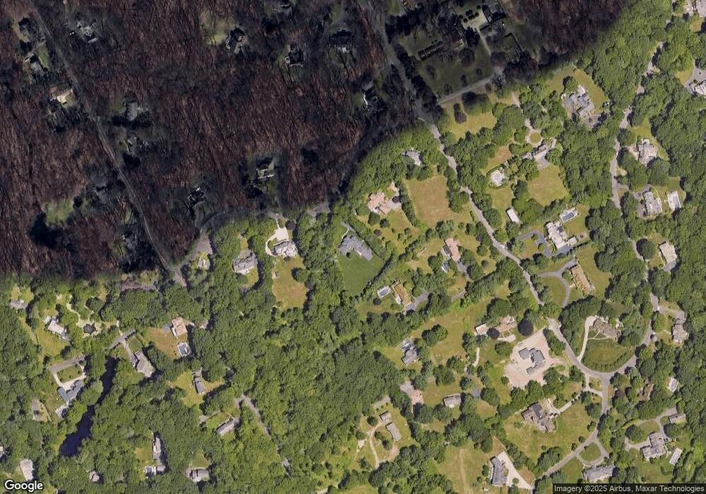
Map
Nearby Homes
- 212 Fence Row Dr
- 88 Merry Meet Cir
- 475 Fence Row Dr
- 2177 Cross Hwy
- 6 Nutcracker Ln
- 9 Greenbrier Rd
- 10 Charcoal Hill Rd
- 319 Bayberry Ln
- 158 Coventry Ln
- 1 Greenlea Ln
- 278 North Ave
- 282 North Ave
- 24 Warnock Dr
- 180 Catamount Rd
- 1380 Old Academy Rd
- 21 Warnock Dr
- 110 Queens Grant Dr
- 2 Rockyfield Rd
- 1375 Westport Turnpike
- 22 Brett Rd
- 87 Ridge Common
- 1901 Fence Row Dr
- 171 Ridge Common
- 1921 Fence Row Dr
- 110 Ridge Common
- 233 Ridge Common
- 21 Fence Row Dr
- 211 Sturges Hwy
- 2170 Sturges Hwy
- 44 Ridge Common
- 2150 Sturges Hwy
- 2140 Cross Hwy
- 2150 Sturges Hwy
- 221 Sturges Hwy
- 2170 Sturges Hwy
- 1825 Fence Row Dr
- 21 Quail Run Cir
- 1 Pilgrim Trail
- 2 Fence Row Dr
- 35 Quail Run Cir
Your Personal Tour Guide
Ask me questions while you tour the home.