135 Rivermist Dr Unit 7 Dahlonega, GA 30533
Estimated Value: $854,000 - $1,475,436
3
Beds
3
Baths
2,919
Sq Ft
$365/Sq Ft
Est. Value
About This Home
This home is located at 135 Rivermist Dr Unit 7, Dahlonega, GA 30533 and is currently estimated at $1,065,812, approximately $365 per square foot. 135 Rivermist Dr Unit 7 is a home located in Lumpkin County with nearby schools including Clay County Middle School and Lumpkin County High School.
Ownership History
Date
Name
Owned For
Owner Type
Purchase Details
Closed on
Jun 27, 2016
Sold by
Kalish J Penny S
Bought by
Ponder Ernest and Ponder Karen
Current Estimated Value
Purchase Details
Closed on
Dec 21, 2012
Sold by
Lott Sue Ann S and Penny Snyde J
Bought by
Sue Kalish J and Sue Ann Kalish
Purchase Details
Closed on
Jun 25, 2009
Sold by
Lott Sue Ann S
Bought by
Lott Sue Ann S
Home Financials for this Owner
Home Financials are based on the most recent Mortgage that was taken out on this home.
Original Mortgage
$380,000
Interest Rate
4.88%
Mortgage Type
New Conventional
Purchase Details
Closed on
Aug 12, 1999
Sold by
Bohac John L
Bought by
Lott Sue Ann S
Purchase Details
Closed on
Feb 25, 1993
Sold by
Berry William L
Bought by
Bohac John L
Purchase Details
Closed on
Nov 1, 1987
Bought by
Berry William L
Create a Home Valuation Report for This Property
The Home Valuation Report is an in-depth analysis detailing your home's value as well as a comparison with similar homes in the area
Home Values in the Area
Average Home Value in this Area
Purchase History
| Date | Buyer | Sale Price | Title Company |
|---|---|---|---|
| Ponder Ernest | $352,500 | -- | |
| Sue Kalish J | -- | -- | |
| Lott Sue Ann S | -- | -- | |
| Lott Sue Ann S | -- | -- | |
| Lott Sue Ann S | $210,000 | -- | |
| Bohac John L | $28,000 | -- | |
| Berry William L | -- | -- |
Source: Public Records
Mortgage History
| Date | Status | Borrower | Loan Amount |
|---|---|---|---|
| Previous Owner | Lott Sue Ann S | $380,000 |
Source: Public Records
Tax History Compared to Growth
Tax History
| Year | Tax Paid | Tax Assessment Tax Assessment Total Assessment is a certain percentage of the fair market value that is determined by local assessors to be the total taxable value of land and additions on the property. | Land | Improvement |
|---|---|---|---|---|
| 2024 | $10,739 | $563,968 | $232,320 | $331,648 |
| 2023 | $6,370 | $393,886 | $232,320 | $161,566 |
| 2022 | $9,335 | $377,066 | $232,320 | $144,746 |
| 2021 | $4,127 | $161,204 | $33,060 | $128,144 |
| 2020 | $4,191 | $158,860 | $33,060 | $125,800 |
| 2019 | $3,753 | $140,958 | $33,060 | $107,898 |
| 2018 | $3,310 | $116,660 | $33,060 | $83,600 |
| 2017 | $3,303 | $114,190 | $33,060 | $81,130 |
| 2016 | $526 | $108,189 | $33,060 | $75,129 |
| 2015 | $2,822 | $108,189 | $33,060 | $75,129 |
| 2014 | $2,822 | $109,043 | $33,060 | $75,983 |
| 2013 | -- | $109,896 | $33,060 | $76,836 |
Source: Public Records
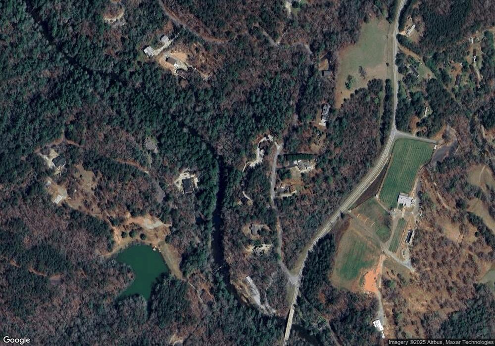
Map
Nearby Homes
- 1063 Grindle Bridge Rd
- 0 Horseshoe Bend Rd Unit 10571975
- 0 Horseshoe Bend Rd Unit 7620338
- 925 Horseshoe Bend Rd
- 16 Welch Cir
- 64 Highview Ln
- 349 Hester Rd
- 0 Stancil Dyer Rd Unit 10640477
- 124 Candy Man Ln
- 313 Hester Rd
- 651 Hester Rd
- 45 Chestatee River Ridge
- 134 Elkmont Dr
- 133 Elkmont Dr
- 1437 Porter Springs Rd
- 2717 Damascus Church Rd
- 242 Hooper Rd
- 372 Porter Springs Rd
- 135 Rivermist Dr
- 77 Rivermist Dr
- 122 Rivermist Dr
- 71 Rivermist Dr Unit 3
- 71 Rivermist Dr
- 611 White Pine Dr
- 152 Rivermist Dr
- 5 Rivermist Dr
- 0 Rivermist Dr
- 0 Rivermist Dr Unit 10043947
- 0 Rivermist Dr Unit 7041263
- 0 Rivermist Dr Unit 7523031
- 0 Rivermist Dr Unit 7414038
- 0 Rivermist Dr Unit 8222727
- 0 Rivermist Dr Unit B1 8365262
- 0 Rivermist Dr Unit 8398730
- 0 Rivermist Dr Unit 8521667
- 0 Rivermist Dr Unit 4078096
- 0 Rivermist Dr Unit Lot 5 8801838
- 0 Rivermist Dr Unit 6735894