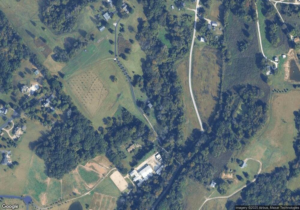
135 Riverside Dr Labadie, MO 63055
Estimated Value: $526,653 - $592,000
3
Beds
1
Bath
2,194
Sq Ft
$254/Sq Ft
Est. Value
About This Home
This home is located at 135 Riverside Dr, Labadie, MO 63055 and is currently estimated at $557,413, approximately $254 per square foot. 135 Riverside Dr is a home located in Franklin County with nearby schools including Washington High School.
Ownership History
Date
Name
Owned For
Owner Type
Purchase Details
Closed on
Jun 9, 2012
Sold by
Tharp Stephen D
Bought by
Tharp Melissia R
Current Estimated Value
Purchase Details
Closed on
Jun 17, 2005
Sold by
Liggett Bruce W and Liggett Susan A
Bought by
Tharp Stephen D` and Tharp Melissia R
Home Financials for this Owner
Home Financials are based on the most recent Mortgage that was taken out on this home.
Original Mortgage
$226,000
Outstanding Balance
$117,301
Interest Rate
5.67%
Mortgage Type
New Conventional
Estimated Equity
$440,112
Create a Home Valuation Report for This Property
The Home Valuation Report is an in-depth analysis detailing your home's value as well as a comparison with similar homes in the area
Home Values in the Area
Average Home Value in this Area
Purchase History
| Date | Buyer | Sale Price | Title Company |
|---|---|---|---|
| Tharp Melissia R | -- | -- | |
| Tharp Stephen D` | -- | None Available |
Source: Public Records
Mortgage History
| Date | Status | Borrower | Loan Amount |
|---|---|---|---|
| Open | Tharp Stephen D` | $226,000 |
Source: Public Records
Tax History Compared to Growth
Tax History
| Year | Tax Paid | Tax Assessment Tax Assessment Total Assessment is a certain percentage of the fair market value that is determined by local assessors to be the total taxable value of land and additions on the property. | Land | Improvement |
|---|---|---|---|---|
| 2024 | $3,105 | $45,361 | $0 | $0 |
| 2023 | $3,105 | $45,361 | $0 | $0 |
| 2022 | $3,076 | $47,354 | $0 | $0 |
| 2021 | $3,101 | $47,354 | $0 | $0 |
| 2020 | $2,896 | $42,370 | $0 | $0 |
| 2019 | $2,895 | $42,370 | $0 | $0 |
| 2018 | $2,829 | $41,190 | $0 | $0 |
| 2017 | $2,825 | $41,190 | $0 | $0 |
| 2016 | $2,607 | $38,581 | $0 | $0 |
| 2015 | $2,470 | $38,581 | $0 | $0 |
| 2014 | $2,447 | $38,876 | $0 | $0 |
Source: Public Records
Map
Nearby Homes
- 196 Creek Bottom Rd
- 125 Skyview Ln
- 3773 Dunne Spring Rd
- Lot 2 Hunters Ridge Dr
- 31 El Viento Dr
- 109 Lake Rd
- 110 Lake Rd
- 127 Front St
- 0 Hwy Mm Unit MAR25012377
- 576 Riverview Dr
- 000 Highway Mm
- 00 Charrette Ln
- 3012 Old Highway 100
- 793 Lakeway Dr
- 801 Lakeway Dr
- 274 Lake Labadie Dr
- 5549 Main St
- 295 Lower St
- 930 Broken Arrow Dr
- 0 St Louis Rock Rd Unit MIS25051513
- 0 Riverside Dr Unit 17051966
- 8 Riverside Dr
- 118 Riverside Dr
- 112 Riverside Dr
- 165 Riverside Dr
- 640 Honey Locust Ln
- 4272 Boles Rd
- 4265 Boles Rd
- 4266 Boles Rd
- 4450 Boles Rd
- 4233 Boles Rd
- 4239 Boles Rd
- 4245 Boles Rd
- 4254 Boles Rd
- 0 Boles Rd Unit 90053903
- 0 Boles Rd Unit 10020110
- 0 Boles Rd Unit 23056799
- 0 Boles Rd Unit 23005384
- 0 Boles Rd Unit 17016004
- 639 Honey Locust Ln
