135 Riverside South Fork, CO 81154
Estimated Value: $747,513 - $1,049,000
3
Beds
5
Baths
2,892
Sq Ft
$311/Sq Ft
Est. Value
About This Home
This home is located at 135 Riverside, South Fork, CO 81154 and is currently estimated at $900,128, approximately $311 per square foot. 135 Riverside is a home located in Rio Grande County with nearby schools including Del Norte K-8 School and Del Norte High School.
Ownership History
Date
Name
Owned For
Owner Type
Purchase Details
Closed on
Dec 21, 2017
Sold by
Schneider David and Weaver Brent R
Bought by
Martin Larry D and Martin Mary Dunckel
Current Estimated Value
Purchase Details
Closed on
Jan 27, 2017
Sold by
Equity Trust Co and Schneider Anneliese
Bought by
Weaver Brent R
Purchase Details
Closed on
Jan 26, 2017
Sold by
Equity Trust Co and Schneider David
Bought by
Weaver Brent R
Purchase Details
Closed on
Jan 13, 2016
Sold by
Sawyers G Greg
Bought by
Schreinder Davids and Equity Trust Company Custodian
Purchase Details
Closed on
Nov 16, 2006
Sold by
Wolf Creek Rio Grande Investments Lc
Bought by
Sawyers G Greg
Home Financials for this Owner
Home Financials are based on the most recent Mortgage that was taken out on this home.
Original Mortgage
$66,700
Interest Rate
6.37%
Mortgage Type
Stand Alone Second
Create a Home Valuation Report for This Property
The Home Valuation Report is an in-depth analysis detailing your home's value as well as a comparison with similar homes in the area
Home Values in the Area
Average Home Value in this Area
Purchase History
| Date | Buyer | Sale Price | Title Company |
|---|---|---|---|
| Martin Larry D | $538,700 | None Available | |
| Weaver Brent R | $44,000 | None Available | |
| Weaver Brent R | $66,000 | None Available | |
| Schreinder Davids | $360,400 | None Available | |
| Sawyers G Greg | -- | None Available |
Source: Public Records
Mortgage History
| Date | Status | Borrower | Loan Amount |
|---|---|---|---|
| Previous Owner | Sawyers G Greg | $66,700 | |
| Previous Owner | Sawyers G Greg | $533,600 |
Source: Public Records
Tax History Compared to Growth
Tax History
| Year | Tax Paid | Tax Assessment Tax Assessment Total Assessment is a certain percentage of the fair market value that is determined by local assessors to be the total taxable value of land and additions on the property. | Land | Improvement |
|---|---|---|---|---|
| 2024 | $2,521 | $38,874 | $2,938 | $35,936 |
| 2023 | $2,521 | $38,874 | $2,938 | $35,936 |
| 2022 | $2,566 | $39,442 | $3,475 | $35,967 |
| 2021 | $2,596 | $40,577 | $3,575 | $37,002 |
| 2020 | $2,607 | $40,577 | $3,575 | $37,002 |
| 2019 | $2,611 | $40,577 | $3,575 | $37,002 |
| 2018 | $2,528 | $39,068 | $0 | $0 |
| 2017 | $2,970 | $39,068 | $0 | $0 |
| 2016 | $1,984 | $39,267 | $0 | $0 |
| 2015 | $2,027 | $39,267 | $0 | $0 |
| 2014 | $2,027 | $40,017 | $0 | $0 |
| 2013 | $2,136 | $40,017 | $0 | $0 |
Source: Public Records
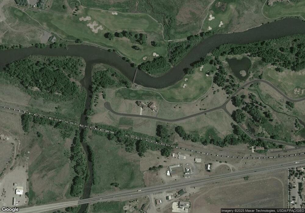
Map
Nearby Homes
- 146 W Riverside Ct
- 188 W Riverside Ct
- 132 W Riverside Ct
- 76 W Riverside Ct
- 20 E Riverside Ct
- 30081 W Hwy 160
- 00 County Road 15
- 6720 River Club Dr Unit D
- 6720 River Club Dr Unit C
- 6720 River Club Dr Unit B
- 6720 River Club Dr Unit A
- 56 Cumbre Ct
- 116 Big River Way
- 132 Big River Way
- 0 U S 160 Unit 827893
- 237 Vista de Verde Cir
- 273 Vista de Verde Cir
- 80 Iron Bridge Ct
- 464 Colorado 149
- 189 Vista de Verde Cir
- 135 Riverside Ct
- 135 Riverside Ct
- 161 W Riverside Ct
- W W Riverside Ct Unit 27
- 50 W Riverside Ct
- E W Riverside Ct
- W W Riverside Ct
- 10 W Riverside Ct
- 163 Riverside Ct
- 15 W Riverside Ct
- 11 W Riverside Ct
- 9 W Riverside Ct
- 160 Riverside Ct
- 0 SW Riverside Ct Unit 753498
- 0 SW Riverside Ct Unit 727326
- 201 W Riverside Ct
- 76 W Riverside Ct Unit 27
- 4504 W Riverside Ct
- 221 W Riverside Ct
- 48 W Riverside Ct