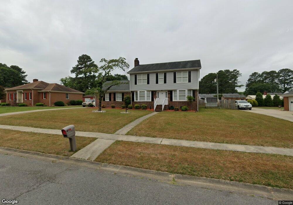
135 Robin Ln Suffolk, VA 23434
Holy Neck NeighborhoodEstimated Value: $386,000 - $402,778
About This Home
This home is located at 135 Robin Ln, Suffolk, VA 23434 and is currently estimated at $395,195, approximately $179 per square foot. 135 Robin Ln is a home located in Suffolk City with nearby schools including Kilby Shores Elementary School, Forest Glen Middle School, and Lakeland High School.
Ownership History
We collect this data history from publicly available records. To have your information removed, we recommend requesting removal directly through your county’s website.
Purchase Details
Home Financials for this Owner
Home Financials are based on the most recent Mortgage that was taken out on this home.Home Values in the Area
Average Home Value in this Area
Purchase History
We collect this data history from publicly available records. To have your information removed, we recommend requesting removal directly through your county’s website.
| Date | Buyer | Sale Price | Title Company |
|---|---|---|---|
| $350,000 | Old Republic National Title |
Mortgage History
We collect this data history from publicly available records. To have your information removed, we recommend requesting removal directly through your county’s website.
| Date | Status | Borrower | Loan Amount |
|---|---|---|---|
| Open | $249,287 |
Tax History
We collect this data history from publicly available records. To have your information removed, we recommend requesting removal directly through your county’s website.
| Year | Tax Paid | Tax Assessment Tax Assessment Total Assessment is a certain percentage of the fair market value that is determined by local assessors to be the total taxable value of land and additions on the property. | Land | Improvement |
|---|---|---|---|---|
| 2025 | $3,701 | $303,800 | $65,000 | $238,800 |
| 2024 | $3,701 | $297,400 | $65,000 | $232,400 |
| 2023 | $3,575 | $290,500 | $65,000 | $225,500 |
| 2022 | $2,976 | $273,000 | $65,000 | $208,000 |
| 2021 | $2,687 | $242,100 | $53,500 | $188,600 |
| 2020 | $2,542 | $229,000 | $53,500 | $175,500 |
| 2019 | $2,542 | $229,000 | $53,500 | $175,500 |
| 2018 | $2,597 | $224,100 | $53,600 | $170,500 |
| 2017 | $2,328 | $217,600 | $53,600 | $164,000 |
| 2016 | $2,260 | $211,200 | $53,600 | $157,600 |
| 2015 | $1,275 | $227,700 | $53,600 | $174,100 |
| 2014 | $1,275 | $234,700 | $53,600 | $181,100 |
Map
- 152 Gene Ave
- 129 Gene Ave
- 210 Beechwood Dr
- 1019 English Oak Dr
- 25+AC Holland Rd
- 2028 Holland Rd
- 2022 Holland Rd
- 1029 English Oak Dr
- 2027 Kilby Ln
- 2028 Kilby Ln
- 1688 Faulk Rd
- .51ac Holland Rd
- 19 Grove Ave
- 1538 Wilkins Dr
- 218 Northbrooke Ave
- 2141 Brians Ln
- 3010 Elmore Cir
- 3027 Brett Dr
- 3021 Brett Dr
- 3025 Brett Dr
Ask me questions while you tour the home.