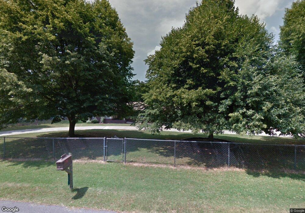
Estimated Value: $277,000 - $290,000
2
Beds
2
Baths
1,994
Sq Ft
$142/Sq Ft
Est. Value
About This Home
This home is located at 135 Robinhood Dr, Purdy, MO 65734 and is currently estimated at $283,500, approximately $142 per square foot. 135 Robinhood Dr is a home with nearby schools including Eunice Thomas Elementary School, Cassville Intermediate School, and Cassville Middle School.
Ownership History
Date
Name
Owned For
Owner Type
Purchase Details
Closed on
Dec 29, 2025
Sold by
Johnson Lavina M Thomas
Bought by
Periman Steven and Whisenhunt Fred
Current Estimated Value
Create a Home Valuation Report for This Property
The Home Valuation Report is an in-depth analysis detailing your home's value as well as a comparison with similar homes in the area
Purchase History
| Date | Buyer | Sale Price | Title Company |
|---|---|---|---|
| Periman Steven | -- | Meridian Title Company |
Source: Public Records
Tax History
| Year | Tax Paid | Tax Assessment Tax Assessment Total Assessment is a certain percentage of the fair market value that is determined by local assessors to be the total taxable value of land and additions on the property. | Land | Improvement |
|---|---|---|---|---|
| 2025 | $1,049 | $22,888 | $3,933 | $18,955 |
| 2024 | $1,049 | $21,824 | $3,933 | $17,891 |
| 2023 | $983 | $21,824 | $3,933 | $17,891 |
| 2022 | $975 | $21,634 | $3,743 | $17,891 |
| 2020 | $881 | $19,466 | $3,363 | $16,103 |
| 2018 | $868 | $19,658 | $3,555 | $16,103 |
| 2017 | $866 | $19,639 | $3,555 | $16,084 |
| 2016 | $621 | $14,069 | $3,365 | $10,704 |
| 2015 | -- | $14,069 | $3,365 | $10,704 |
| 2014 | -- | $13,925 | $3,221 | $10,704 |
| 2012 | -- | $0 | $0 | $0 |
Source: Public Records
Map
Nearby Homes
- 000 Farm Road 2140
- 13915 Farm Road 1115
- 13104 Farm Road 1155
- 10603 N Main St
- 000 Farm Road 2085
- 10303 W 4th St
- 000-A Farm Road 1090
- 15223 State Highway 37
- 17984 State Highway 248
- 10088 Farm Road 2160
- 303 Melton Way
- 301 Blackberry Ct Unit Lot 18
- 1605 N Main St
- 106 Rosedale St
- 000 Luney Dr
- 1302 Oak St
- 1008 Wildwood Dr
- 304 W 14th St
- 1107 Lake Road Dr
- 803 Hickory St
Your Personal Tour Guide
Ask me questions while you tour the home.
