135 Rugg Brook Rd Winsted, CT 06098
Estimated Value: $428,000 - $662,000
3
Beds
2
Baths
1,825
Sq Ft
$285/Sq Ft
Est. Value
About This Home
This home is located at 135 Rugg Brook Rd, Winsted, CT 06098 and is currently estimated at $520,600, approximately $285 per square foot. 135 Rugg Brook Rd is a home located in Litchfield County.
Ownership History
Date
Name
Owned For
Owner Type
Purchase Details
Closed on
Mar 10, 2003
Sold by
Pleil Markus M and Pleil Donra R
Bought by
Pleil Kent O
Current Estimated Value
Home Financials for this Owner
Home Financials are based on the most recent Mortgage that was taken out on this home.
Original Mortgage
$36,100
Interest Rate
4.5%
Create a Home Valuation Report for This Property
The Home Valuation Report is an in-depth analysis detailing your home's value as well as a comparison with similar homes in the area
Home Values in the Area
Average Home Value in this Area
Purchase History
| Date | Buyer | Sale Price | Title Company |
|---|---|---|---|
| Pleil Kent O | $51,700 | -- | |
| Pleil Kent O | $51,700 | -- |
Source: Public Records
Mortgage History
| Date | Status | Borrower | Loan Amount |
|---|---|---|---|
| Closed | Pleil Kent O | $249,600 | |
| Closed | Pleil Kent O | $36,100 |
Source: Public Records
Tax History Compared to Growth
Tax History
| Year | Tax Paid | Tax Assessment Tax Assessment Total Assessment is a certain percentage of the fair market value that is determined by local assessors to be the total taxable value of land and additions on the property. | Land | Improvement |
|---|---|---|---|---|
| 2025 | $7,365 | $252,490 | $78,750 | $173,740 |
| 2024 | $6,878 | $252,490 | $78,750 | $173,740 |
| 2023 | $6,663 | $252,490 | $78,750 | $173,740 |
| 2022 | $7,081 | $211,120 | $65,170 | $145,950 |
| 2021 | $7,081 | $211,120 | $65,170 | $145,950 |
| 2020 | $7,081 | $211,120 | $65,170 | $145,950 |
| 2019 | $7,081 | $211,120 | $65,170 | $145,950 |
| 2018 | $7,081 | $211,120 | $65,170 | $145,950 |
| 2017 | $6,957 | $207,410 | $63,980 | $143,430 |
| 2016 | $6,957 | $207,410 | $63,980 | $143,430 |
| 2015 | $6,782 | $207,410 | $63,980 | $143,430 |
| 2014 | $6,618 | $207,410 | $63,980 | $143,430 |
Source: Public Records
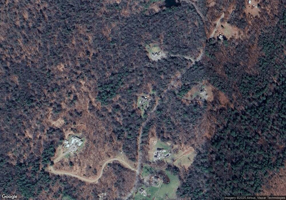
Map
Nearby Homes
- 393 Winchester Rd
- 000000 Norfolk Rd
- 148 Danbury Quarter Rd
- 00 Chapel Rd
- 119 W Wakefield Blvd
- 32 Norfolk Rd
- 73 Norfolk Rd
- 431 W Wakefield Blvd
- 440 Platt Hill Rd
- 117 South Rd
- 256 Colebrook Rd
- 841 Winchester Rd
- 77 Hubbard St
- 99 Hubbard St
- 156 Lincoln Ave
- 9 John St
- 118 Meadow St
- 843-845 (lots - 10A, E Wakefield Blvd
- 605 E Wakefield Blvd
- 38 Upland Rd
- 143 Rugg Brook Rd
- 127 Rugg Brook Rd
- 147 Rugg Brook Rd
- 148 Rugg Brook Rd
- 128 Rugg Brook Rd
- 150 Rugg Brook Rd
- 119 Rugg Brook Rd
- 119R Rugg Brook Rd
- 122 Rugg Brook Rd
- 122 Rugg Brook Rd
- 138 Rugg Brook Rd
- 152 Rugg Brook Rd
- 117 Rugg Brook Rd
- 118 Rugg Brook Rd
- 246 Old Waterbury Turnpike
- 158 Rugg Brook Rd
- 154 Rugg Brook Rd
- 160 Rugg Brook Rd
- 114 Rugg Brook Rd
- 113 Rugg Brook Rd