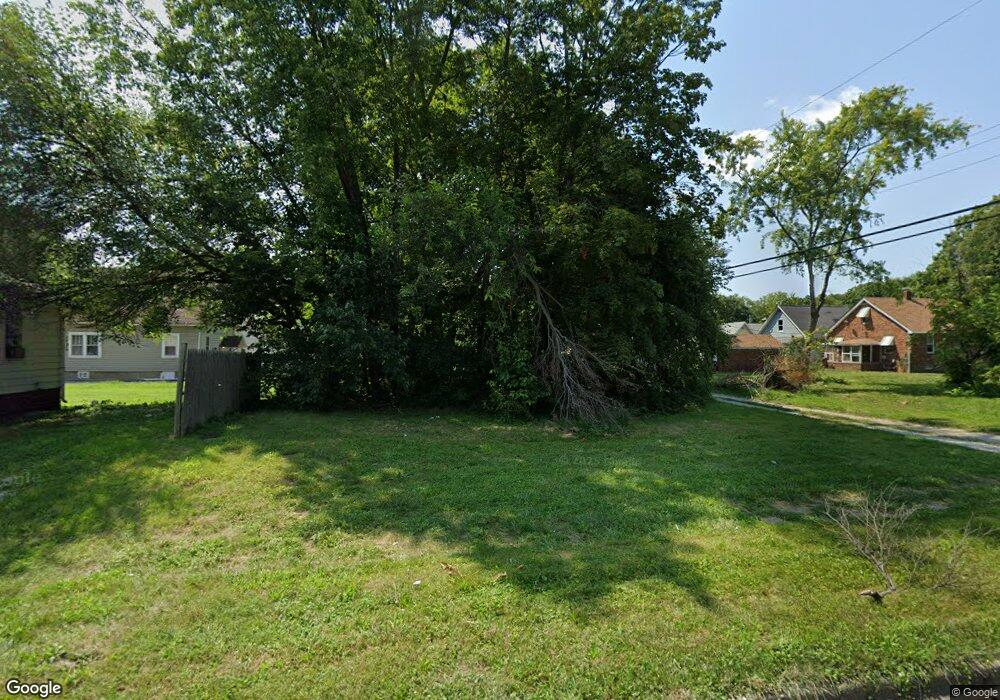
135 S 19th St Decatur, IL 62521
Jasper Park NeighborhoodEstimated Value: $43,000
2
Beds
1
Bath
1,408
Sq Ft
$31/Sq Ft
Est. Value
About This Home
This home is located at 135 S 19th St, Decatur, IL 62521 and is currently priced at $43,000, approximately $30 per square foot. 135 S 19th St is a home located in Macon County with nearby schools including Muffley Elementary School, Stephen Decatur Middle School, and St. Patrick School.
Ownership History
Date
Name
Owned For
Owner Type
Purchase Details
Closed on
Dec 12, 2019
Sold by
Macon County
Bought by
City Of Decatur
Current Estimated Value
Purchase Details
Closed on
Apr 4, 2008
Sold by
Bank Of Warrensburg
Bought by
Wells Kenneth E
Home Financials for this Owner
Home Financials are based on the most recent Mortgage that was taken out on this home.
Original Mortgage
$3,139
Interest Rate
6.32%
Mortgage Type
New Conventional
Purchase Details
Closed on
Jul 1, 1996
Create a Home Valuation Report for This Property
The Home Valuation Report is an in-depth analysis detailing your home's value as well as a comparison with similar homes in the area
Home Values in the Area
Average Home Value in this Area
Purchase History
| Date | Buyer | Sale Price | Title Company |
|---|---|---|---|
| City Of Decatur | -- | None Available | |
| Wells Kenneth E | $5,000 | None Available | |
| -- | $13,500 | -- |
Source: Public Records
Mortgage History
| Date | Status | Borrower | Loan Amount |
|---|---|---|---|
| Previous Owner | Wells Kenneth E | $3,139 |
Source: Public Records
Tax History Compared to Growth
Tax History
| Year | Tax Paid | Tax Assessment Tax Assessment Total Assessment is a certain percentage of the fair market value that is determined by local assessors to be the total taxable value of land and additions on the property. | Land | Improvement |
|---|---|---|---|---|
| 2024 | -- | $0 | $0 | $0 |
| 2023 | -- | $0 | $0 | $0 |
| 2022 | $0 | $0 | $0 | $0 |
| 2021 | $34 | $0 | $0 | $0 |
| 2020 | $34 | $320 | $320 | $0 |
| 2019 | $34 | $320 | $320 | $0 |
| 2018 | $22 | $206 | $206 | $0 |
| 2017 | $22 | $211 | $211 | $0 |
| 2016 | $23 | $213 | $213 | $0 |
| 2015 | $102 | $997 | $997 | $0 |
| 2014 | $95 | $987 | $987 | $0 |
| 2013 | $98 | $1,024 | $1,024 | $0 |
Source: Public Records
Map
Nearby Homes
- 1656 E Wood St
- 1753 E Clay St
- 1850 E Prairie St
- 1645 E Wood St
- 1764 E Johns Ave
- 1605 E Clay St
- 1644 E William St
- 2152 E Decatur St
- 425 N 18th St
- 1525 E North St
- 632 S 17th St
- 2039 E Whitmer St
- 2104 E Whitmer St
- 1232 E Johns Ave
- 729 S 22nd St
- 111 S 24th+520 E Division+870 N Union St
- 2015 E Lincoln Ave
- 2434 E Prairie St
- 203 S 25th St
- 1104 E Moore St