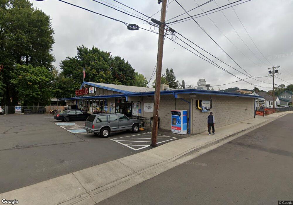
135 S Bridge St Sheridan, OR 97378
--
Bed
--
Bath
--
Sq Ft
0.78
Acres
About This Home
This home is located at 135 S Bridge St, Sheridan, OR 97378. 135 S Bridge St is a home located in Yamhill County with nearby schools including Faulconer-Chapman School, Sheridan High School, and Sheridan Allprep Academy.
Ownership History
Date
Name
Owned For
Owner Type
Purchase Details
Closed on
May 23, 2023
Sold by
Ai Llc
Bought by
Sukhtan Inc
Home Financials for this Owner
Home Financials are based on the most recent Mortgage that was taken out on this home.
Original Mortgage
$2,780,000
Outstanding Balance
$2,659,062
Interest Rate
6.27%
Mortgage Type
New Conventional
Purchase Details
Closed on
Aug 11, 2008
Sold by
Gilliam Robert D and Gilliam Claudia Ann
Bought by
Ai Llc
Home Financials for this Owner
Home Financials are based on the most recent Mortgage that was taken out on this home.
Original Mortgage
$234,000
Interest Rate
6.32%
Mortgage Type
Commercial
Create a Home Valuation Report for This Property
The Home Valuation Report is an in-depth analysis detailing your home's value as well as a comparison with similar homes in the area
Home Values in the Area
Average Home Value in this Area
Purchase History
| Date | Buyer | Sale Price | Title Company |
|---|---|---|---|
| Sukhtan Inc | $1,700,000 | Fidelity National Title | |
| Ai Llc | $750,000 | First American Title |
Source: Public Records
Mortgage History
| Date | Status | Borrower | Loan Amount |
|---|---|---|---|
| Open | Sukhtan Inc | $2,780,000 | |
| Previous Owner | Ai Llc | $234,000 | |
| Previous Owner | Ai Llc | $441,000 |
Source: Public Records
Tax History Compared to Growth
Tax History
| Year | Tax Paid | Tax Assessment Tax Assessment Total Assessment is a certain percentage of the fair market value that is determined by local assessors to be the total taxable value of land and additions on the property. | Land | Improvement |
|---|---|---|---|---|
| 2025 | $7,880 | $581,379 | -- | -- |
| 2024 | $7,237 | $564,446 | -- | -- |
| 2023 | $7,028 | $548,006 | $0 | $0 |
| 2022 | $6,833 | $532,045 | $0 | $0 |
| 2021 | $7,735 | $516,549 | $0 | $0 |
| 2020 | $7,473 | $501,504 | $0 | $0 |
| 2019 | $7,341 | $486,897 | $0 | $0 |
| 2018 | $7,134 | $472,716 | $0 | $0 |
| 2017 | $7,001 | $458,948 | $0 | $0 |
| 2016 | $6,799 | $445,581 | $0 | $0 |
| 2015 | $6,633 | $432,604 | $0 | $0 |
| 2014 | $6,451 | $420,005 | $0 | $0 |
Source: Public Records
Map
Nearby Homes
- 518 S Bridge St
- 243 SE Harney St
- 204 SW Water St
- 419 SE Sheridan Rd
- 370 NW Yamhill St
- 119 NW Sherman St
- 328 NW Sherman St
- 503 SE Sheridan Rd Unit 8
- 634 E Main St
- 240 SW Jefferson St
- 740 SE Alicia St
- 515 SE Sheridan Rd
- 515 SE Sheridan Rd Unit 6
- 240 NW Sagan Loop
- 347 NE Oak St
- 617 SW Monroe St
- 510 NE Hill St
- 1200 Blk NE Center St Unit Parcel 4
- 0 NE Center St Unit 1 491349230
- 0 NE Center St Unit 2 430429617
- 145 SE Harney St
- 147 SE Harney St
- 201 SE Harney St
- 209 S Bridge St
- 128 S Bridge St
- 213 SE Harney St
- 142 Bridge St (- 144) S
- 106 S Bridge St Unit 1
- 106 S Bridge St
- 136 S Bridge St
- 144 S Bridge St
- 235 S Bridge St
- 146 N Bridge St
- 142 S Bridge St
- 132 E Main St
- 239 SE Harney St
- 146 S Bridge St
- 102 W Main St
- 112 W Main (112-118) St
- 112 W Main St