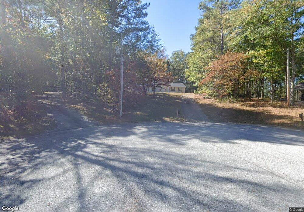
135 S Robin Ln Newnan, GA 30263
Estimated Value: $221,478 - $282,000
3
Beds
2
Baths
1,307
Sq Ft
$186/Sq Ft
Est. Value
About This Home
This home is located at 135 S Robin Ln, Newnan, GA 30263 and is currently estimated at $243,370, approximately $186 per square foot. 135 S Robin Ln is a home located in Coweta County with nearby schools including Atkinson Elementary School, Smokey Road Middle School, and Newnan High School.
Ownership History
Date
Name
Owned For
Owner Type
Purchase Details
Closed on
Mar 16, 1992
Bought by
Byne Julie P
Current Estimated Value
Purchase Details
Closed on
Jun 28, 1991
Bought by
Robertson Carl A
Purchase Details
Closed on
Feb 2, 1990
Bought by
Robertson Carl A
Purchase Details
Closed on
Nov 30, 1986
Bought by
Robertson Carl A
Create a Home Valuation Report for This Property
The Home Valuation Report is an in-depth analysis detailing your home's value as well as a comparison with similar homes in the area
Home Values in the Area
Average Home Value in this Area
Purchase History
| Date | Buyer | Sale Price | Title Company |
|---|---|---|---|
| Byne Julie P | $8,500 | -- | |
| Robertson Carl A | $80,000 | -- | |
| Robertson Carl A | $150,000 | -- | |
| Robertson Carl A | $202,000 | -- |
Source: Public Records
Tax History Compared to Growth
Tax History
| Year | Tax Paid | Tax Assessment Tax Assessment Total Assessment is a certain percentage of the fair market value that is determined by local assessors to be the total taxable value of land and additions on the property. | Land | Improvement |
|---|---|---|---|---|
| 2025 | $550 | $84,968 | $22,000 | $62,968 |
| 2024 | $496 | $73,279 | $16,000 | $57,279 |
| 2023 | $496 | $63,408 | $16,000 | $47,408 |
| 2022 | $440 | $60,715 | $16,000 | $44,715 |
| 2021 | $340 | $46,653 | $8,000 | $38,653 |
| 2020 | $339 | $46,653 | $8,000 | $38,653 |
| 2019 | $355 | $42,967 | $8,000 | $34,967 |
| 2018 | $358 | $42,967 | $8,000 | $34,967 |
| 2017 | $310 | $38,476 | $8,000 | $30,476 |
| 2016 | $300 | $38,476 | $8,000 | $30,476 |
| 2015 | $284 | $38,476 | $8,000 | $30,476 |
| 2014 | $275 | $38,476 | $8,000 | $30,476 |
Source: Public Records
Map
Nearby Homes
- 46 Brandish Dr
- 325 Brandish Dr
- 152 Moody Farm Rd
- 1967 Corinth Rd
- 146 Moody Farm Rd
- 23 Corn Crib Ct
- 23 Corn Crib Dr
- 55 Corn Row Ct
- 715 Earl North Rd
- 140 Beverly Park Ct
- 185 Widgeon Dr
- 135 Widgeon Dr
- 130 Mallard Dr
- 1109 Old Corinth Rd
- LOT 1 Joe Roberts Rd
- LOT 3 Joe Roberts Rd
- 15 Foxboro Trail
- 407 Earl North Rd
- 2403 W Grantville Rd
- 2086 Bethlehem Church Rd
- 130 S Robin Ln
- 125 S Robin Ln
- 115 S Robin Ln
- 120 S Robin Ln
- 110 S Robin Ln
- 90 S Robin Ln
- 95 S Robin Ln
- 105 S Robin Ln
- 30 Stoney Brook Dr
- 1523 Corinth Rd
- 20 Stoney Brook Dr
- 85 S Robin Ln
- 1509 Corinth Rd
- 1489 Corinth Rd
- 45 Stoney Brook Dr Unit 28
- 45 Stoney Brook Dr
- 10 Stoney Brook Dr
- 35 Stoney Brook Dr
- S S Robin Ln Unit 20
- S S Robin Ln