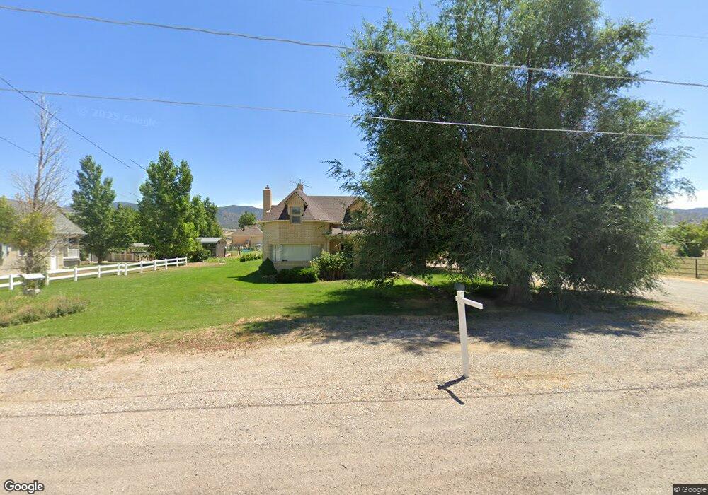
135 S State St Scipio, UT 84656
Estimated Value: $263,000 - $402,000
--
Bed
--
Bath
--
Sq Ft
0.92
Acres
About This Home
This home is located at 135 S State St, Scipio, UT 84656 and is currently estimated at $319,852. 135 S State St is a home.
Ownership History
Date
Name
Owned For
Owner Type
Purchase Details
Closed on
Feb 22, 2012
Sold by
Kirkpatrick Stewart R
Bought by
Kirkpatrick Stewart R and Kirkpatrick Stewart R
Current Estimated Value
Purchase Details
Closed on
Feb 8, 2012
Sold by
Kirkpatrick Stewart R and Kirkpatrick Stewart R
Bought by
Kirkpatrick Stewart R
Purchase Details
Closed on
Feb 28, 2007
Sold by
Peterson Probert Richard and Probert Thelma
Bought by
Kirkpatrick Stewart R and Kirkpatrick Elaine P
Create a Home Valuation Report for This Property
The Home Valuation Report is an in-depth analysis detailing your home's value as well as a comparison with similar homes in the area
Home Values in the Area
Average Home Value in this Area
Purchase History
| Date | Buyer | Sale Price | Title Company |
|---|---|---|---|
| Kirkpatrick Stewart R | -- | -- | |
| Kirkpatrick Stewart R | -- | -- | |
| Kirkpatrick Stewart R | -- | -- | |
| Kirkpatrick Stewart R | -- | -- |
Source: Public Records
Tax History Compared to Growth
Tax History
| Year | Tax Paid | Tax Assessment Tax Assessment Total Assessment is a certain percentage of the fair market value that is determined by local assessors to be the total taxable value of land and additions on the property. | Land | Improvement |
|---|---|---|---|---|
| 2025 | $1,163 | $148,377 | $27,610 | $120,767 |
| 2024 | $1,163 | $138,487 | $23,568 | $114,919 |
| 2023 | $1,279 | $138,487 | $23,568 | $114,919 |
| 2022 | $1,139 | $104,549 | $23,567 | $80,982 |
| 2021 | $971 | $85,488 | $17,457 | $68,031 |
| 2020 | $896 | $79,401 | $15,180 | $64,221 |
| 2019 | $818 | $72,870 | $15,180 | $57,690 |
| 2018 | $764 | $69,605 | $15,180 | $54,425 |
| 2017 | $799 | $69,605 | $15,180 | $54,425 |
| 2016 | $639 | $57,872 | $13,093 | $44,779 |
| 2015 | $640 | $57,872 | $13,093 | $44,779 |
| 2014 | -- | $56,164 | $11,385 | $44,779 |
| 2013 | -- | $56,164 | $11,385 | $44,779 |
Source: Public Records
Map
Nearby Homes
- 7 N 200 W
- 85 E 200 Rd N
- 2000 N 500 W
- 9155 Red Canyon Rd Unit 15
- 13051 Red Canyon Rd Unit 3
- 9160 Red Canyon Rd Unit 5
- 700 W 1100 S
- 8300 N 3300 E
- Mecham Rd
- 290 N 200 Rd E
- 445 S Main St
- 66 W 100 S
- 26 N Mount Baldy Estates Rd Unit 26
- 117 E 300 S
- 36 W 100 S
- 155 S 200 W
- 420 W 350 N
- 80 N 400 W
- 165 E Center
- 340 E 300 S
- 105 S State St
- 155 S State St
- 136 S State St
- 106 S State St
- 170 S State
- 195 S State St
- 95 S State St
- 180 S State St
- 100 S S 100 East St St E
- 80 S State St
- 100 S S 100 West St St W
- 40 S State St
- 230 S State St
- 45 S State St
- 206 S 100 E
- 100 S S 100 West St St W
- 100 S S 100 East St St E
- 65 W 200 S
- 10 S 100 E
- 120 S 100 Rd E
