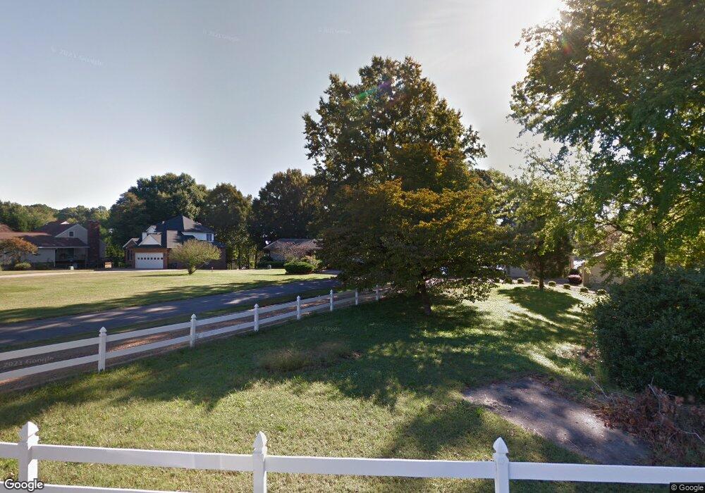
135 Skippers Cove Ln Troutman, NC 28166
Estimated Value: $650,000 - $1,280,000
4
Beds
4
Baths
2,012
Sq Ft
$495/Sq Ft
Est. Value
About This Home
This home is located at 135 Skippers Cove Ln, Troutman, NC 28166 and is currently estimated at $996,655, approximately $495 per square foot. 135 Skippers Cove Ln is a home located in Iredell County with nearby schools including Troutman Elementary School, Troutman Middle School, and South Iredell High School.
Ownership History
Date
Name
Owned For
Owner Type
Purchase Details
Closed on
Oct 23, 2006
Sold by
Tuttle Ronald Edward and Tuttle Shirley Austin
Bought by
Groce Johnny Wayne and Groce Mary Carney
Current Estimated Value
Home Financials for this Owner
Home Financials are based on the most recent Mortgage that was taken out on this home.
Original Mortgage
$520,000
Outstanding Balance
$309,092
Interest Rate
6.39%
Mortgage Type
Purchase Money Mortgage
Estimated Equity
$687,563
Purchase Details
Closed on
Dec 1, 1993
Create a Home Valuation Report for This Property
The Home Valuation Report is an in-depth analysis detailing your home's value as well as a comparison with similar homes in the area
Home Values in the Area
Average Home Value in this Area
Purchase History
| Date | Buyer | Sale Price | Title Company |
|---|---|---|---|
| Groce Johnny Wayne | $650,000 | Bb&T | |
| -- | $319,500 | -- |
Source: Public Records
Mortgage History
| Date | Status | Borrower | Loan Amount |
|---|---|---|---|
| Open | Groce Johnny Wayne | $520,000 |
Source: Public Records
Tax History Compared to Growth
Tax History
| Year | Tax Paid | Tax Assessment Tax Assessment Total Assessment is a certain percentage of the fair market value that is determined by local assessors to be the total taxable value of land and additions on the property. | Land | Improvement |
|---|---|---|---|---|
| 2024 | $5,566 | $878,160 | $472,500 | $405,660 |
| 2023 | $5,329 | $878,160 | $472,500 | $405,660 |
| 2022 | $3,568 | $559,710 | $288,750 | $270,960 |
| 2021 | $3,568 | $559,710 | $288,750 | $270,960 |
| 2020 | $3,568 | $559,710 | $288,750 | $270,960 |
| 2019 | $3,428 | $559,710 | $288,750 | $270,960 |
| 2018 | $2,983 | $490,470 | $262,500 | $227,970 |
| 2017 | $2,983 | $490,470 | $262,500 | $227,970 |
| 2016 | $2,983 | $490,470 | $262,500 | $227,970 |
| 2015 | $2,983 | $490,470 | $262,500 | $227,970 |
| 2014 | $2,919 | $521,260 | $262,500 | $258,760 |
Source: Public Records
Map
Nearby Homes
- 110 Emmaline Ct
- 120 Bentley Ct Unit 5
- 125 Bentley Ct Unit 14
- 115 Bentley Ct Unit 15
- 164 Crooked Branch Way
- 134 Millard Ln
- 177 Brer Fox Trail
- 299 Hamptons Cove Rd
- 131 Winding Forest Dr
- 0 Brer Fox Trail Unit 6 CAR4256803
- 134 Honeycutt Rd Unit 6
- 134 Honeycutt Rd Unit 5
- 134 Honeycutt Rd Unit 4
- 134 Honeycutt Rd Unit 3
- 134 Honeycutt Rd Unit 2
- 134 Honeycutt Rd Unit 1
- 157 Silver Falls Dr
- 111 Cinder Ridge Ct
- 119 Cinder Ridge Ct
- 147 Ashmore Cir
- 137 Skippers Cove Ln
- 131 Skippers Cove Ln
- 139 Skippers Cove Ln
- 127 Skippers Cove Ln
- 138 Skippers Cove Ln
- 123 Skippers Cove Ln
- 168 Tremount Ln
- 113 Skippers Cove Ln
- 107 Skippers Cove Ln
- 156 Tremount Ln
- 103 Skippers Cove Ln
- 161 Tremount Ln
- 167 Driftwood Cove Dr
- 234 Shady Cove Rd
- 162 Driftwood Cove Dr
- 101 Skippers Cove Ln
- 108 Winding Shore Rd
- 226 Shady Cove Rd
- 163 Driftwood Cove Dr
- 144 Tremount Ln
