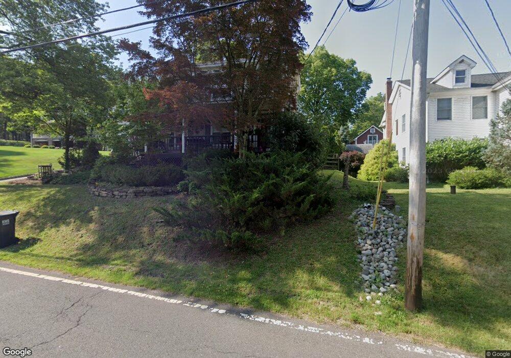
135 Station Rd Branchburg, NJ 08876
Branchburg Township NeighborhoodEstimated Value: $487,000 - $670,000
--
Bed
--
Bath
2,237
Sq Ft
$274/Sq Ft
Est. Value
About This Home
This home is located at 135 Station Rd, Branchburg, NJ 08876 and is currently estimated at $612,937, approximately $273 per square foot. 135 Station Rd is a home located in Somerset County with nearby schools including Whiton Elementary School, Stony Brook School, and Branchburg Central Middle School.
Ownership History
Date
Name
Owned For
Owner Type
Purchase Details
Closed on
Sep 24, 2025
Sold by
Rosol John J
Bought by
Rosol John J and Laurin Lisa S
Current Estimated Value
Home Financials for this Owner
Home Financials are based on the most recent Mortgage that was taken out on this home.
Original Mortgage
$320,000
Outstanding Balance
$320,000
Interest Rate
6.58%
Mortgage Type
New Conventional
Estimated Equity
$292,937
Purchase Details
Closed on
Nov 16, 2004
Sold by
Robinson Ralph H
Bought by
Rosol John
Home Financials for this Owner
Home Financials are based on the most recent Mortgage that was taken out on this home.
Original Mortgage
$288,800
Interest Rate
5.8%
Create a Home Valuation Report for This Property
The Home Valuation Report is an in-depth analysis detailing your home's value as well as a comparison with similar homes in the area
Home Values in the Area
Average Home Value in this Area
Purchase History
| Date | Buyer | Sale Price | Title Company |
|---|---|---|---|
| Rosol John J | -- | None Listed On Document | |
| Rosol John | $361,000 | -- |
Source: Public Records
Mortgage History
| Date | Status | Borrower | Loan Amount |
|---|---|---|---|
| Open | Rosol John J | $320,000 | |
| Previous Owner | Rosol John | $288,800 |
Source: Public Records
Tax History Compared to Growth
Tax History
| Year | Tax Paid | Tax Assessment Tax Assessment Total Assessment is a certain percentage of the fair market value that is determined by local assessors to be the total taxable value of land and additions on the property. | Land | Improvement |
|---|---|---|---|---|
| 2025 | $7,755 | $465,200 | $166,600 | $298,600 |
| 2024 | $7,755 | $429,900 | $166,600 | $263,300 |
| 2023 | $7,555 | $403,800 | $166,600 | $237,200 |
| 2022 | $7,527 | $382,300 | $166,600 | $215,700 |
| 2021 | $7,608 | $359,900 | $166,600 | $193,300 |
| 2020 | $7,537 | $351,700 | $166,600 | $185,100 |
| 2019 | $7,538 | $349,800 | $166,600 | $183,200 |
| 2018 | $7,477 | $346,000 | $161,600 | $184,400 |
| 2017 | $7,475 | $343,500 | $156,600 | $186,900 |
| 2016 | $7,468 | $341,000 | $154,100 | $186,900 |
| 2015 | $7,435 | $340,100 | $150,400 | $189,700 |
| 2014 | $7,305 | $338,200 | $147,400 | $190,800 |
Source: Public Records
Map
Nearby Homes
- 61 Waugh Ct
- 1114 State Route 28
- 507 Dunn Cir
- 1135 State Route 28
- 48 Reinhart Way
- 19 Craft Farm Dr
- 5 Walnut Dr
- 4101 Dilts Ln
- 319 Hannah Way
- 4703 Patterson St Unit 47
- 3010 Doolittle Dr
- 2104 Doolittle Dr
- 2008 Ackmen Ct
- 2801 Doolittle Dr
- 215 Readington Rd
- 43 Wexford Way
- 2512 Lindsley Rd
- 501 Reading Cir
- 2706 Pinhorn Dr
- 351 Route 28
- 131 Station Rd
- 139 Station Rd
- 129 Station Rd
- 204 Miller Ave
- 145 Station Rd
- 151 Station Rd
- 203 Miller Ave
- 212 Miller Ave
- 213 Miller Ave
- 111 Station Rd
- 11 Central Place
- 220 Miller Ave
- 221 Miller Ave
- 107 Station Rd
- 216 Miller Ave
- 228 Miller Ave
- 23 Central Place
- 25 Central Place
- 97 Station Rd
- 233 Miller Ave