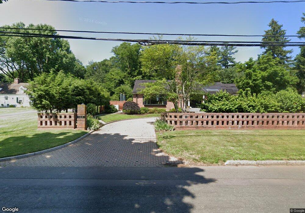
135 Terry Rd Hartford, CT 06105
West End NeighborhoodEstimated Value: $470,000 - $660,000
2
Beds
2
Baths
2,028
Sq Ft
$267/Sq Ft
Est. Value
About This Home
This home is located at 135 Terry Rd, Hartford, CT 06105 and is currently estimated at $541,474, approximately $266 per square foot. 135 Terry Rd is a home located in Hartford County with nearby schools including Noah Webster Micro Society School, Rawson School, and McKinley School.
Ownership History
Date
Name
Owned For
Owner Type
Purchase Details
Closed on
Mar 15, 2010
Sold by
Cantin Raynald Est and Seals
Bought by
Lord Cathy
Current Estimated Value
Home Financials for this Owner
Home Financials are based on the most recent Mortgage that was taken out on this home.
Original Mortgage
$285,000
Interest Rate
5.02%
Mortgage Type
Purchase Money Mortgage
Create a Home Valuation Report for This Property
The Home Valuation Report is an in-depth analysis detailing your home's value as well as a comparison with similar homes in the area
Home Values in the Area
Average Home Value in this Area
Purchase History
| Date | Buyer | Sale Price | Title Company |
|---|---|---|---|
| Lord Cathy | $510,000 | -- |
Source: Public Records
Mortgage History
| Date | Status | Borrower | Loan Amount |
|---|---|---|---|
| Open | Lord Cathy | $250,000 | |
| Closed | Lord Cathy | $279,000 | |
| Closed | Lord Cathy | $285,000 | |
| Previous Owner | Lord Cathy | $300,000 |
Source: Public Records
Tax History Compared to Growth
Tax History
| Year | Tax Paid | Tax Assessment Tax Assessment Total Assessment is a certain percentage of the fair market value that is determined by local assessors to be the total taxable value of land and additions on the property. | Land | Improvement |
|---|---|---|---|---|
| 2025 | $10,374 | $150,455 | $63,100 | $87,355 |
| 2024 | $10,374 | $150,455 | $63,100 | $87,355 |
| 2023 | $10,374 | $150,455 | $63,100 | $87,355 |
| 2022 | $10,374 | $150,455 | $63,100 | $87,355 |
| 2021 | $9,556 | $128,625 | $60,095 | $68,530 |
| 2020 | $9,556 | $128,625 | $60,095 | $68,530 |
| 2019 | $9,556 | $128,625 | $60,095 | $68,530 |
| 2018 | $9,233 | $124,289 | $58,069 | $66,220 |
| 2016 | $9,069 | $122,076 | $55,305 | $66,771 |
| 2015 | $8,638 | $116,277 | $52,677 | $63,600 |
| 2014 | $8,427 | $113,435 | $51,390 | $62,045 |
Source: Public Records
Map
Nearby Homes
- 175 Scarborough St
- 275 Kenyon St
- 94 Goodwin Cir Unit 94
- 5 Adams Ln
- 5 Northmoor Rd
- 276 Oxford St Unit 278
- 260 Oxford St Unit 262
- 25 Cornwall St
- 1993 Albany Ave
- 111 Bloomfield Ave
- 111 Westbourne Pkwy Unit 113
- 320 N Steele Rd
- 109 Blue Hills Ave
- 120 Whitney St
- 364 Woodland St
- 165 Bloomfield Ave
- 290 Sargeant St Unit 292
- 131-135,137-145,119- Albany Ave
- 8 Sterling St
- 62 Whitney St
- 145 Terry Rd
- 65 Westerly Terrace
- 125 Terry Rd
- 132 Terry Rd
- 140 Terry Rd
- 71 Westerly Terrace
- 71 Westerly Terrace Unit 1
- 155 Terry Rd
- 126 Terry Rd
- 120 Terry Rd
- 76 Westerly Terrace
- 156 Terry Rd
- 111 Terry Rd
- 165 Terry Rd
- 164 Terry Rd
- 80 Westerly Terrace
- 75 Westerly Terrace
- 174 Terry Rd
- 155 Scarborough St
- 137 Scarborough St