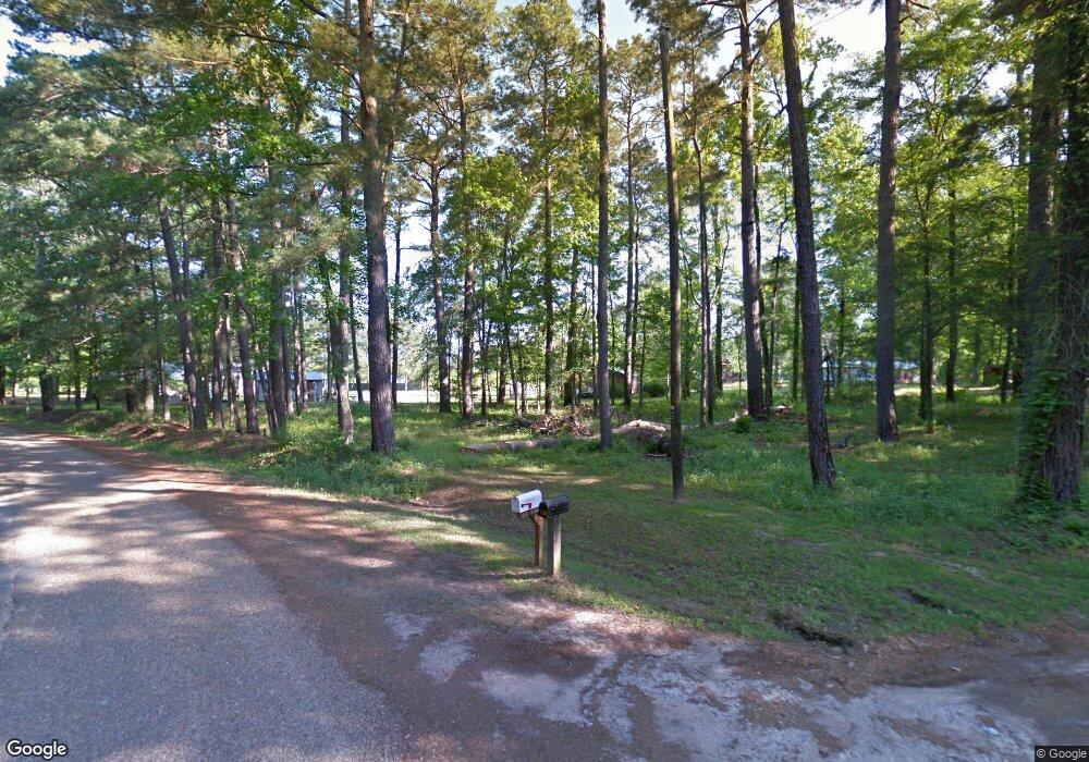
135 Travis Guin Rd Campti, LA 71411
Estimated Value: $128,076 - $173,000
3
Beds
1
Bath
1,400
Sq Ft
$106/Sq Ft
Est. Value
About This Home
This home is located at 135 Travis Guin Rd, Campti, LA 71411 and is currently estimated at $148,269, approximately $105 per square foot. 135 Travis Guin Rd is a home located in Natchitoches Parish with nearby schools including Fairview-Alpha Elementary/Junior High School and Lakeview Junior & Senior High School.
Ownership History
Date
Name
Owned For
Owner Type
Purchase Details
Closed on
Jul 29, 2016
Sold by
Colston Jackie D
Bought by
Russell Carolyn E
Current Estimated Value
Home Financials for this Owner
Home Financials are based on the most recent Mortgage that was taken out on this home.
Original Mortgage
$82,400
Outstanding Balance
$60,093
Interest Rate
3.54%
Mortgage Type
New Conventional
Estimated Equity
$88,176
Purchase Details
Closed on
Apr 8, 2008
Bought by
Colston Jackie D
Create a Home Valuation Report for This Property
The Home Valuation Report is an in-depth analysis detailing your home's value as well as a comparison with similar homes in the area
Home Values in the Area
Average Home Value in this Area
Purchase History
| Date | Buyer | Sale Price | Title Company |
|---|---|---|---|
| Russell Carolyn E | $67,451 | -- | |
| Colston Jackie D | $82,500 | -- |
Source: Public Records
Mortgage History
| Date | Status | Borrower | Loan Amount |
|---|---|---|---|
| Open | Russell Carolyn E | $82,400 |
Source: Public Records
Tax History Compared to Growth
Tax History
| Year | Tax Paid | Tax Assessment Tax Assessment Total Assessment is a certain percentage of the fair market value that is determined by local assessors to be the total taxable value of land and additions on the property. | Land | Improvement |
|---|---|---|---|---|
| 2024 | $34 | $7,900 | $830 | $7,070 |
| 2023 | $9 | $7,600 | $800 | $6,800 |
| 2022 | $651 | $7,600 | $800 | $6,800 |
| 2021 | $659 | $7,600 | $800 | $6,800 |
| 2020 | $675 | $7,600 | $800 | $6,800 |
| 2019 | $670 | $7,470 | $800 | $6,670 |
| 2018 | $669 | $7,470 | $800 | $6,670 |
| 2017 | $596 | $7,470 | $800 | $6,670 |
| 2015 | $696 | $7,980 | $900 | $7,080 |
| 2014 | $704 | $7,980 | $900 | $7,080 |
| 2013 | $702 | $7,980 | $900 | $7,080 |
Source: Public Records
Map
Nearby Homes
- 0 Harbor Estate Rd
- 0 Sandy Point Rd
- 126 Bill Stringer Rd
- 0 Pine Cove Rd
- tbd Us Hwy 71 None
- 181 Sonny Black Rd
- TBD U S Highway 71
- 221 Lebrum St
- TBD Hwy 71 None
- 1102 Cloud Crossing Rd
- 306 Louisiana 1227
- 1257 Highway 486 None
- 466 Louisiana 486
- 165 Hargis Rd
- 1154 Miller Farm Rd
- 147 Payne Dr
- 1707 Cane River Pkwy
- 1900 Williams Ave
- 111 Navarro Ct
- 1504 Emanuel St
- 1665 Hart Rd
- 119 Travis Guin Rd
- 1637 Hart Rd
- 1663 Hart Rd
- 1659 Hart Rd
- 1661 Hart Rd
- 131 Travis Guin Rd
- 1674 Hart Rd
- 1617 Hart Rd
- 1603 Hart Rd
- 1622 Hart Rd
- 152 Sandy Point Rd
- 184 Sandy Point Rd
- 1595 Hart Rd
- 122 Sandy Point Rd
- 110 Sandy Point Rd
- 1596 Hart Rd
- 1580 Hart Rd
- 175 Archie Woods Rd
- 247 Travis Guin Rd
