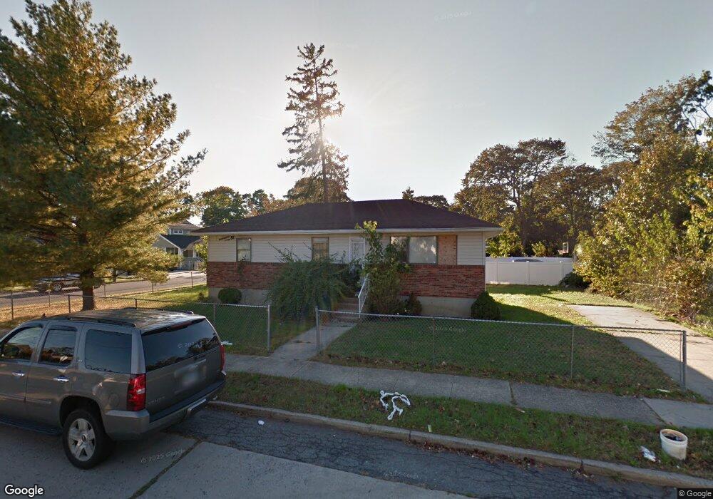
135 Union St Freeport, NY 11520
Estimated Value: $381,000 - $590,489
Studio
1
Bath
1,170
Sq Ft
$415/Sq Ft
Est. Value
About This Home
This home is located at 135 Union St, Freeport, NY 11520 and is currently estimated at $485,745, approximately $415 per square foot. 135 Union St is a home located in Nassau County with nearby schools including Roosevelt Middle School, Roosevelt High School, and Roosevelt Children's Academy.
Ownership History
Date
Name
Owned For
Owner Type
Purchase Details
Closed on
Jun 29, 2018
Sold by
Sanchez Faustino
Bought by
Norabuena Omar and Cabrera Mojica Ana Lys
Current Estimated Value
Home Financials for this Owner
Home Financials are based on the most recent Mortgage that was taken out on this home.
Original Mortgage
$245,471
Outstanding Balance
$213,904
Interest Rate
4.75%
Mortgage Type
FHA
Estimated Equity
$271,841
Purchase Details
Closed on
May 11, 2006
Sold by
Watt Claudette
Bought by
Tull Philip
Purchase Details
Closed on
Dec 22, 2004
Sold by
Watt Claudette
Create a Home Valuation Report for This Property
The Home Valuation Report is an in-depth analysis detailing your home's value as well as a comparison with similar homes in the area
Home Values in the Area
Average Home Value in this Area
Purchase History
| Date | Buyer | Sale Price | Title Company |
|---|---|---|---|
| Norabuena Omar | $250,000 | Chicago Title | |
| Tull Philip | $395,000 | -- | |
| -- | -- | -- |
Source: Public Records
Mortgage History
| Date | Status | Borrower | Loan Amount |
|---|---|---|---|
| Open | Norabuena Omar | $245,471 |
Source: Public Records
Tax History
| Year | Tax Paid | Tax Assessment Tax Assessment Total Assessment is a certain percentage of the fair market value that is determined by local assessors to be the total taxable value of land and additions on the property. | Land | Improvement |
|---|---|---|---|---|
| 2025 | $5,872 | $319 | $133 | $186 |
| 2024 | $725 | $319 | $133 | $186 |
Source: Public Records
Map
Nearby Homes
- 188 Woodside Ave
- 400 N Columbus Ave
- 72 Woodside Ave
- 247 N Columbus Ave
- 76 Cumberland Ave
- 173 E Seaman Ave
- 85 Bedford Ave
- 63 E Seaman Ave
- 101 Harris Ave
- 171 Ellison Ave
- 32 Dawes Ave
- 9 Bainbridge St
- 221 E Dean St
- 67 E Dean St
- 49 Elizabeth St
- 25 Bainbridge St
- 16 Scherer Place
- 12 King St
- 49 Prospect St
- 35 W Seaman Ave
- 119 Colonial Ave
- 132 Union St
- 133 Colonial Ave
- 118 Colonial Ave
- 155 Colonial Ave
- 146 Woodside Ave
- 147 Union St
- 114 Colonial Ave
- 180 Woodside Ave
- 138 Woodside Ave
- 154 Colonial Ave
- 110 Colonial Ave
- 136 Woodside Ave
- 158 Colonial Ave
- 162 Woodside Ave
- 134 Union St
- 132 Woodside Ave
- 130 Colonial Ave
- 164 Colonial Ave
Your Personal Tour Guide
Ask me questions while you tour the home.