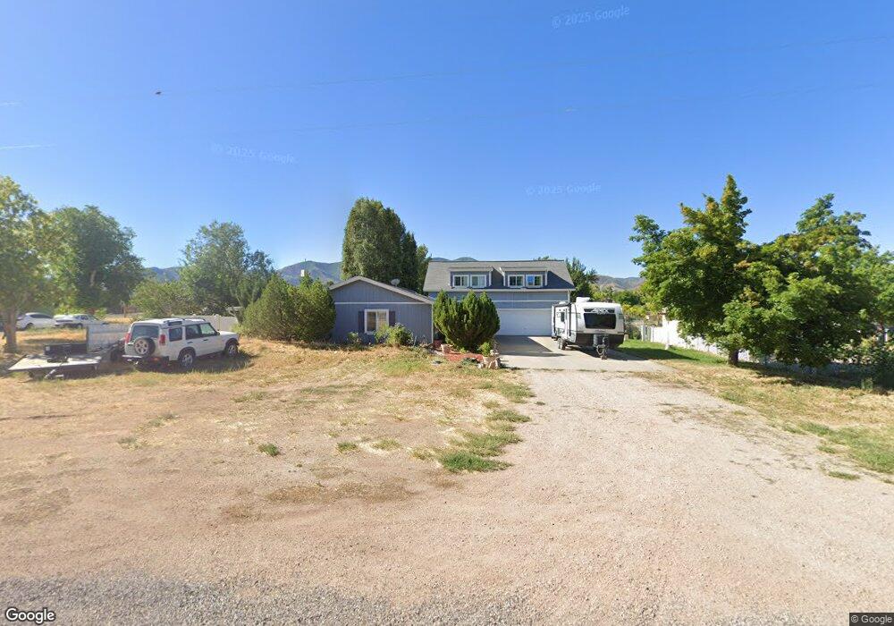
135 W 100 S Kanosh, UT 84637
Estimated Value: $364,000 - $531,000
2
Beds
2
Baths
2,465
Sq Ft
$182/Sq Ft
Est. Value
About This Home
This home is located at 135 W 100 S, Kanosh, UT 84637 and is currently estimated at $447,454, approximately $181 per square foot. 135 W 100 S is a home located in Millard County.
Ownership History
Date
Name
Owned For
Owner Type
Purchase Details
Closed on
Oct 26, 2017
Sold by
Cobery Josephine
Bought by
Rands Joseph S and Mish Henrietta
Current Estimated Value
Home Financials for this Owner
Home Financials are based on the most recent Mortgage that was taken out on this home.
Original Mortgage
$142,256
Outstanding Balance
$118,634
Interest Rate
3.85%
Mortgage Type
VA
Estimated Equity
$328,820
Create a Home Valuation Report for This Property
The Home Valuation Report is an in-depth analysis detailing your home's value as well as a comparison with similar homes in the area
Home Values in the Area
Average Home Value in this Area
Purchase History
| Date | Buyer | Sale Price | Title Company |
|---|---|---|---|
| Rands Joseph S | -- | -- |
Source: Public Records
Mortgage History
| Date | Status | Borrower | Loan Amount |
|---|---|---|---|
| Open | Rands Joseph S | $142,256 |
Source: Public Records
Tax History Compared to Growth
Tax History
| Year | Tax Paid | Tax Assessment Tax Assessment Total Assessment is a certain percentage of the fair market value that is determined by local assessors to be the total taxable value of land and additions on the property. | Land | Improvement |
|---|---|---|---|---|
| 2025 | $1,891 | $247,654 | $29,150 | $218,504 |
| 2024 | $1,891 | $261,582 | $15,642 | $245,940 |
| 2023 | $2,312 | $261,582 | $15,642 | $245,940 |
| 2022 | $1,528 | $143,504 | $12,514 | $130,990 |
| 2021 | $1,366 | $123,792 | $10,881 | $112,911 |
| 2020 | $1,182 | $108,133 | $9,892 | $98,241 |
| 2019 | $1,065 | $97,981 | $9,075 | $88,906 |
| 2018 | $1,031 | $97,156 | $8,250 | $88,906 |
| 2017 | $153 | $97,156 | $8,250 | $88,906 |
| 2016 | $165 | $102,351 | $6,188 | $96,163 |
| 2015 | $1,089 | $102,351 | $6,188 | $96,163 |
| 2014 | -- | $102,351 | $6,188 | $96,163 |
| 2013 | -- | $102,351 | $6,188 | $96,163 |
Source: Public Records
Map
Nearby Homes
- 115 W 200 S
- 58 E 300 South St
- 135 E 200 N
- 8610 S Highway 91
- 5098 W Hatton Rd
- Parcel # 8816
- 145 N 200 E
- 60 W Center St
- 50 N 100 Rd E
- 1565 W Sunflower Ln Unit 3
- 1615 W Sunflower Ln
- 1615 W Sunflower Ln Unit 4
- 1565 W Sunflower Ln
- 0 Tbd Black Rock Rd Unit LotWP001
- 2000 N West Frontage I-15
- 1100 S 725 Rd W
- 310 S 500 West Rd
- 190 W 400 St S
- 760 E 700 St S
- 155 E 500 St S