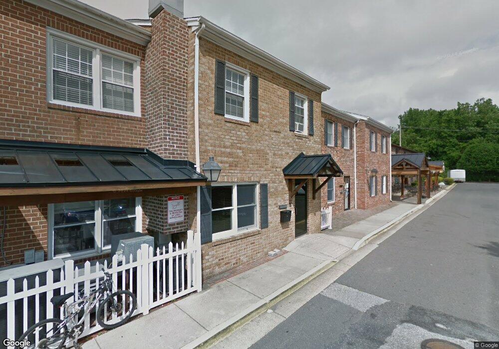
135 W Dares Beach Rd Unit 209A Prince Frederick, MD 20678
Estimated Value: $617,961
--
Bed
--
Bath
1,552
Sq Ft
$398/Sq Ft
Est. Value
About This Home
This home is located at 135 W Dares Beach Rd Unit 209A, Prince Frederick, MD 20678 and is currently estimated at $617,961, approximately $398 per square foot. 135 W Dares Beach Rd Unit 209A is a home located in Calvert County with nearby schools including Barstow Elementary School, Calvert Middle School, and Calvert High School.
Ownership History
Date
Name
Owned For
Owner Type
Purchase Details
Closed on
Dec 5, 2005
Sold by
El Damalouji Issam F
Bought by
R I D Property Development Llc
Current Estimated Value
Purchase Details
Closed on
Jan 22, 1999
Sold by
J D & J G Inc
Bought by
El Damalouji Issam F
Purchase Details
Closed on
Aug 3, 1994
Sold by
El Damalouji I F
Bought by
Jd & Jg Inc
Home Financials for this Owner
Home Financials are based on the most recent Mortgage that was taken out on this home.
Original Mortgage
$395,200
Interest Rate
8.4%
Mortgage Type
Commercial
Create a Home Valuation Report for This Property
The Home Valuation Report is an in-depth analysis detailing your home's value as well as a comparison with similar homes in the area
Home Values in the Area
Average Home Value in this Area
Purchase History
| Date | Buyer | Sale Price | Title Company |
|---|---|---|---|
| R I D Property Development Llc | $450,000 | -- | |
| El Damalouji Issam F | -- | -- | |
| Jd & Jg Inc | $494,000 | -- |
Source: Public Records
Mortgage History
| Date | Status | Borrower | Loan Amount |
|---|---|---|---|
| Previous Owner | Jd & Jg Inc | $395,200 | |
| Closed | Jd & Jg Inc | $119,300 |
Source: Public Records
Tax History Compared to Growth
Tax History
| Year | Tax Paid | Tax Assessment Tax Assessment Total Assessment is a certain percentage of the fair market value that is determined by local assessors to be the total taxable value of land and additions on the property. | Land | Improvement |
|---|---|---|---|---|
| 2025 | $2,478 | $212,067 | $0 | $0 |
| 2024 | $2,478 | $209,500 | $52,300 | $157,200 |
| 2023 | $2,391 | $209,500 | $52,300 | $157,200 |
| 2022 | $2,388 | $209,500 | $52,300 | $157,200 |
| 2021 | $2,365 | $209,500 | $52,300 | $157,200 |
| 2020 | $2,365 | $206,900 | $0 | $0 |
| 2019 | $2,345 | $204,300 | $0 | $0 |
| 2018 | $2,305 | $201,700 | $50,400 | $151,300 |
| 2017 | $2,332 | $201,700 | $0 | $0 |
| 2016 | -- | $201,700 | $0 | $0 |
| 2015 | $2,389 | $201,700 | $0 | $0 |
| 2014 | $2,389 | $201,700 | $0 | $0 |
Source: Public Records
Map
Nearby Homes
- 185 Radio Dr
- The Benedict A Plan at Patuxent Commons
- The Benedict B2 Plan at Patuxent Commons
- The Benedict C Plan at Patuxent Commons
- 84 Potomac Ct
- 0 Armory Rd
- 379 Cambridge Place
- 362 Cambridge Place
- 592 Burr Oak Ct
- 579 English Oak Ln
- 49 Thoroughbred Dr
- 125 Polo Way
- 365 Equestrian Way
- 512 Falcon Place
- 447 Dark Star Way
- 85 Mason Rd
- 360 Whirlaway Dr
- 103 Westlake Blvd
- 667 Hawk Hill Dr
- 240 Mason Rd
- 135 W Dares Beach Rd
- 135 W Dares Beach Rd Unit 109C
- 135 W Dares Beach Rd Unit 203
- 135 W Dares Beach Rd Unit 109 A
- 135 W Dares Beach Rd Unit 109B
- 135 W Dares Beach Rd Unit 207
- 135 W Dares Beach Rd Unit 202
- 135 W Dares Beach Rd Unit 101
- 135 W Dares Beach Rd Unit 210
- 105 W Dares Beach Rd Unit 109
- 65 W Dares Beach Rd
- 155 W Dares Beach Rd
- 45 W Dares Beach Rd
- 404 Solomons Island Rd N
- 400 Solomons Island Rd N
- 165 Radio Dr
- 185 Radio Rd
- 175 W Dares Beach Rd
- 410 Solomons Island Rd N
- 350 Solomons Island Rd N