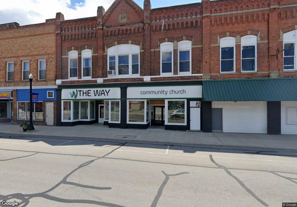
135 W Main St Deshler, OH 43516
Estimated Value: $53,130
Studio
1
Bath
8,000
Sq Ft
$7/Sq Ft
Est. Value
About This Home
This home is located at 135 W Main St, Deshler, OH 43516 and is currently priced at $53,130, approximately $6 per square foot. 135 W Main St is a home located in Henry County with nearby schools including Patrick Henry Middle School and Patrick Henry High School.
Ownership History
Date
Name
Owned For
Owner Type
Purchase Details
Closed on
Dec 21, 2016
Sold by
Connors Michael and Connors Kari
Bought by
Wave Community Church Inc
Current Estimated Value
Home Financials for this Owner
Home Financials are based on the most recent Mortgage that was taken out on this home.
Original Mortgage
$59,500
Outstanding Balance
$39,186
Interest Rate
4.03%
Mortgage Type
Commercial
Purchase Details
Closed on
Jul 31, 2008
Sold by
The Deshler Hardware Co
Bought by
Deshler Hardware Store Llc
Home Financials for this Owner
Home Financials are based on the most recent Mortgage that was taken out on this home.
Original Mortgage
$84,000
Interest Rate
6.31%
Mortgage Type
Commercial
Create a Home Valuation Report for This Property
The Home Valuation Report is an in-depth analysis detailing your home's value as well as a comparison with similar homes in the area
Purchase History
| Date | Buyer | Sale Price | Title Company |
|---|---|---|---|
| Wave Community Church Inc | $35,000 | None Available | |
| Deshler Hardware Store Llc | $105,000 | Attorney |
Source: Public Records
Mortgage History
| Date | Status | Borrower | Loan Amount |
|---|---|---|---|
| Open | Wave Community Church Inc | $59,500 | |
| Previous Owner | Deshler Hardware Store Llc | $84,000 |
Source: Public Records
Tax History
| Year | Tax Paid | Tax Assessment Tax Assessment Total Assessment is a certain percentage of the fair market value that is determined by local assessors to be the total taxable value of land and additions on the property. | Land | Improvement |
|---|---|---|---|---|
| 2024 | -- | $50,980 | $2,380 | $48,600 |
| 2023 | -- | $50,980 | $2,380 | $48,600 |
| 2022 | $0 | $52,600 | $4,760 | $47,840 |
| 2021 | $0 | $26,300 | $2,380 | $23,920 |
| 2020 | $1,617 | $26,300 | $2,380 | $23,920 |
| 2019 | $1,617 | $26,300 | $2,380 | $23,920 |
| 2018 | $0 | $26,300 | $2,380 | $23,920 |
| 2017 | $1,617 | $26,300 | $2,380 | $23,920 |
| 2016 | $2,367 | $35,630 | $2,380 | $33,250 |
| 2015 | $2,316 | $35,630 | $2,380 | $33,250 |
| 2014 | $2,316 | $35,630 | $2,380 | $33,250 |
| 2013 | $2,316 | $35,630 | $2,380 | $33,250 |
Source: Public Records
Map
Nearby Homes
- 126 S Keyser Ave
- 224 S Keyser Ave
- 405 N Keyser Ave
- 423 S Stearns Ave
- 529 W Maple St
- 429 N Park St
- 524 E Elm St
- 106 N Harvest Dr
- 117 Meadow Ln
- 115 Meadow Ln
- 113 N Meadow Ln
- 116 Meadow Ln
- 119 N Harvest St
- 112 N Harvest Dr
- 121 N Harvest St
- 118 N Harvest Dr
- 120 N Harvest Dr
- 102 N Harvest Dr
- 107 N Harvest St
- 125 N Harvest Dr
Your Personal Tour Guide
Ask me questions while you tour the home.