135 W Main St Spencer, MA 01562
--
Bed
--
Bath
--
Sq Ft
1.67
Acres
About This Home
This home is located at 135 W Main St, Spencer, MA 01562. 135 W Main St is a home located in Worcester County with nearby schools including David Prouty High School.
Ownership History
Date
Name
Owned For
Owner Type
Purchase Details
Closed on
Oct 29, 2020
Sold by
Mocerino Salvatore F
Bought by
Mocerino Properties Llc
Purchase Details
Closed on
Mar 23, 2019
Sold by
Mocerino Salvatore F and Mocerino Claire L
Bought by
Mocerino Salvatore F
Purchase Details
Closed on
Sep 1, 2011
Sold by
Mocerino Salvatore F
Bought by
Mocerino Salvatore F and Mocerino Claire L
Purchase Details
Closed on
Mar 5, 1996
Sold by
Fhlmc
Bought by
Laflamme Alfred
Home Financials for this Owner
Home Financials are based on the most recent Mortgage that was taken out on this home.
Original Mortgage
$17,550
Interest Rate
7.02%
Mortgage Type
Purchase Money Mortgage
Purchase Details
Closed on
May 17, 1995
Sold by
Havalotti William
Bought by
Fhlmc
Create a Home Valuation Report for This Property
The Home Valuation Report is an in-depth analysis detailing your home's value as well as a comparison with similar homes in the area
Home Values in the Area
Average Home Value in this Area
Purchase History
| Date | Buyer | Sale Price | Title Company |
|---|---|---|---|
| Mocerino Properties Llc | -- | None Available | |
| Mocerino Salvatore F | -- | -- | |
| Mocerino Salvatore F | -- | -- | |
| Mocerino Salvatore F | $75,000 | -- | |
| Laflamme Alfred | $20,000 | -- | |
| Fhlmc | $69,000 | -- |
Source: Public Records
Mortgage History
| Date | Status | Borrower | Loan Amount |
|---|---|---|---|
| Previous Owner | Fhlmc | $17,550 |
Source: Public Records
Tax History Compared to Growth
Tax History
| Year | Tax Paid | Tax Assessment Tax Assessment Total Assessment is a certain percentage of the fair market value that is determined by local assessors to be the total taxable value of land and additions on the property. | Land | Improvement |
|---|---|---|---|---|
| 2025 | $13 | $112,400 | $112,400 | $0 |
| 2024 | $1,286 | $112,400 | $112,400 | $0 |
| 2023 | $1,356 | $112,400 | $112,400 | $0 |
| 2022 | $1,352 | $102,700 | $102,700 | $0 |
| 2021 | $1,442 | $102,700 | $102,700 | $0 |
| 2020 | $1,450 | $102,700 | $102,700 | $0 |
| 2019 | $1,423 | $102,700 | $102,700 | $0 |
| 2018 | $1,378 | $102,700 | $102,700 | $0 |
| 2017 | $1,436 | $102,700 | $102,700 | $0 |
| 2016 | $1,468 | $102,700 | $102,700 | $0 |
| 2015 | $1,404 | $102,700 | $102,700 | $0 |
| 2014 | $1,351 | $102,700 | $102,700 | $0 |
Source: Public Records
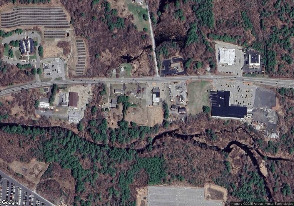
Map
Nearby Homes
- 220 Harrington Cir
- 111 Drake Ln
- 58 S Spencer Rd
- 294 E Main St
- 3 River Rd
- 17 Bixby Rd Unit 2
- 17 Bixby Rd Unit 7
- 2 Crestview Dr Unit 52
- 23 Shore Rd
- 4 Crestview Dr Unit 54
- 12 Crown St
- 31 Lyford Rd
- 32 Lyford Rd
- 3 Pine Rd
- 34 North St
- 40 and 42 North St
- 0 North St
- 41 School St
- 62 Meadow Rd
- 100 Chestnut St
- 131 W Main St
- 131 W Main St Unit 1
- 137 W Main St
- 127 W Main St
- 139 W Main St
- 130 W Main St
- 142 W Main St
- 124 W Main St Unit 1
- 124 W Main St
- 124 W Main St Unit 2
- 122 W Main St
- 135A W Main St
- 545 E Main St
- 550 E Main St
- 134 W Main St
- 503 W Main St
- 503 E Main St
- 472 E Main St
- 105 Faith Dr
- 109 Harrington St