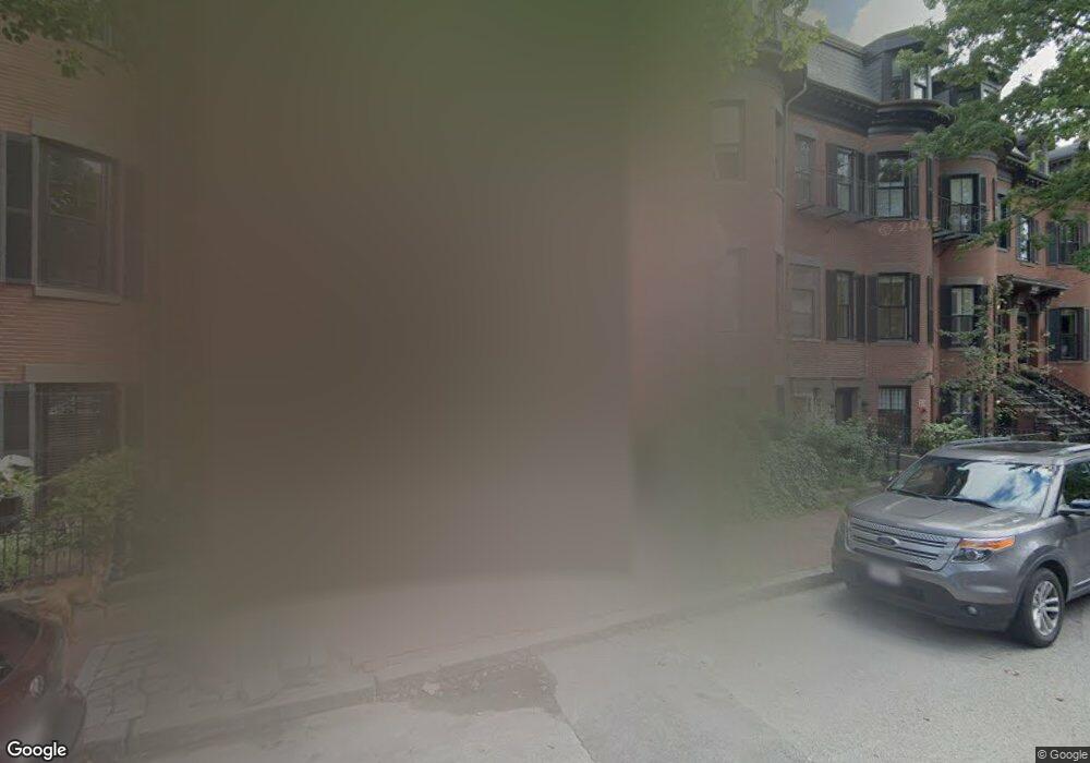
135 W Newton St Unit 2 Boston, MA 02118
South End NeighborhoodEstimated Value: $2,494,000 - $2,901,000
3
Beds
3
Baths
1,953
Sq Ft
$1,375/Sq Ft
Est. Value
About This Home
This home is located at 135 W Newton St Unit 2, Boston, MA 02118 and is currently estimated at $2,685,931, approximately $1,375 per square foot. 135 W Newton St Unit 2 is a home located in Suffolk County with nearby schools including Edward M. Kennedy Academy for Health Careers, Kingsley Montessori School, and Cathedral High School.
Ownership History
Date
Name
Owned For
Owner Type
Purchase Details
Closed on
Feb 29, 2008
Sold by
Torossian Farhad and Torossian Adrine
Bought by
Bafani Elena and Brusseau Roland
Current Estimated Value
Home Financials for this Owner
Home Financials are based on the most recent Mortgage that was taken out on this home.
Original Mortgage
$1,000,000
Outstanding Balance
$624,988
Interest Rate
5.8%
Mortgage Type
Purchase Money Mortgage
Estimated Equity
$2,060,943
Create a Home Valuation Report for This Property
The Home Valuation Report is an in-depth analysis detailing your home's value as well as a comparison with similar homes in the area
Home Values in the Area
Average Home Value in this Area
Purchase History
| Date | Buyer | Sale Price | Title Company |
|---|---|---|---|
| Bafani Elena | $1,312,500 | -- |
Source: Public Records
Mortgage History
| Date | Status | Borrower | Loan Amount |
|---|---|---|---|
| Open | Bafani Elena | $1,000,000 |
Source: Public Records
Tax History Compared to Growth
Tax History
| Year | Tax Paid | Tax Assessment Tax Assessment Total Assessment is a certain percentage of the fair market value that is determined by local assessors to be the total taxable value of land and additions on the property. | Land | Improvement |
|---|---|---|---|---|
| 2025 | $28,322 | $2,445,800 | $0 | $2,445,800 |
| 2024 | $25,640 | $2,352,300 | $0 | $2,352,300 |
| 2023 | $24,517 | $2,282,800 | $0 | $2,282,800 |
| 2022 | $23,654 | $2,174,100 | $0 | $2,174,100 |
| 2021 | $23,198 | $2,174,100 | $0 | $2,174,100 |
| 2020 | $23,321 | $2,208,400 | $0 | $2,208,400 |
| 2019 | $22,600 | $2,144,200 | $0 | $2,144,200 |
| 2018 | $21,201 | $2,023,000 | $0 | $2,023,000 |
| 2017 | $20,218 | $1,909,200 | $0 | $1,909,200 |
| 2016 | $20,193 | $1,835,700 | $0 | $1,835,700 |
| 2015 | $19,116 | $1,578,500 | $0 | $1,578,500 |
| 2014 | $18,225 | $1,448,700 | $0 | $1,448,700 |
Source: Public Records
Map
Nearby Homes
- 41 Rutland Square Unit 1
- 8 Rutland Square Unit 2
- 93 Pembroke St Unit 1
- 87 Pembroke St
- 85 Pembroke St Unit 2
- 667 Tremont St Unit 3
- 667 Tremont St Unit 1
- 667 Tremont St Unit 4
- 668 Tremont St Unit 3
- 15 Concord Square Unit A
- 128 Pembroke St Unit 2-3
- 75 Rutland St Unit 1
- 56 Rutland Square
- 12 Concord Square Unit 1
- 8 Concord Square Unit 1
- 71 Rutland St Unit 4
- 144 Worcester St Unit 2
- 521 Columbus Ave Unit 4
- 35-43 Rutland St
- 125 W Concord St Unit 1
- 135 W Newton St Unit 1
- 137 West Newton St
- 135 West Newton St Unit 2
- 135 West Newton St Unit 1
- 137 W Newton St
- 131 W Newton St Unit SF
- 131 W Newton St
- 139 West Newton St Unit 3
- 139 West Newton St Unit 2
- 139 West Newton St Unit 1
- 139 W Newton St Unit 3
- 139 W Newton St Unit 2
- 139 W Newton St
- 129 West Newton St
- 141 W Newton St
- 129 W Newton St
- 141 West Newton St
- 127 West Newton St
- 127 W Newton St Unit PH
- 127 W Newton St Unit 1