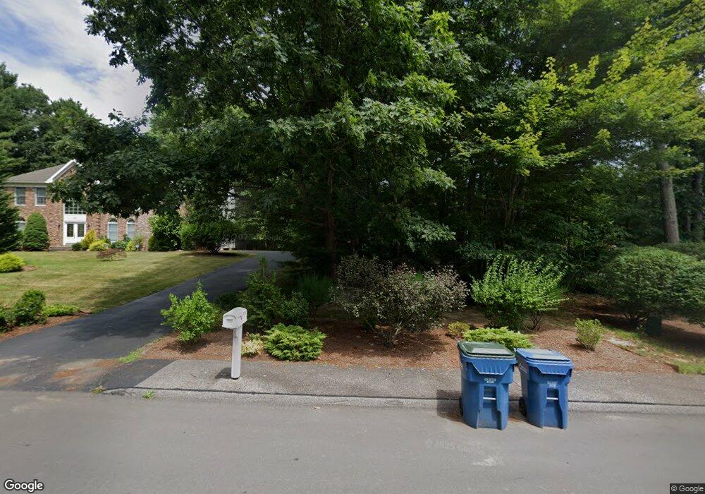
135 Waterman Rd Canton, MA 02021
Estimated Value: $1,416,439 - $1,919,000
4
Beds
3
Baths
5,144
Sq Ft
$321/Sq Ft
Est. Value
About This Home
This home is located at 135 Waterman Rd, Canton, MA 02021 and is currently estimated at $1,651,360, approximately $321 per square foot. 135 Waterman Rd is a home located in Norfolk County with nearby schools including Canton High School.
Ownership History
Date
Name
Owned For
Owner Type
Purchase Details
Closed on
Aug 4, 2003
Sold by
Waterman Rd Rt and Carlozzi Joal L
Bought by
Le Thanh D and Le Thao T
Current Estimated Value
Home Financials for this Owner
Home Financials are based on the most recent Mortgage that was taken out on this home.
Original Mortgage
$275,000
Interest Rate
5.28%
Mortgage Type
Purchase Money Mortgage
Purchase Details
Closed on
Dec 23, 1996
Sold by
Eagle Farm Lp
Bought by
Carlozzi Michael D and Carlozzi Joan L
Create a Home Valuation Report for This Property
The Home Valuation Report is an in-depth analysis detailing your home's value as well as a comparison with similar homes in the area
Home Values in the Area
Average Home Value in this Area
Purchase History
| Date | Buyer | Sale Price | Title Company |
|---|---|---|---|
| Le Thanh D | $930,000 | -- | |
| Carlozzi Michael D | $516,206 | -- |
Source: Public Records
Mortgage History
| Date | Status | Borrower | Loan Amount |
|---|---|---|---|
| Open | Carlozzi Michael D | $486,600 | |
| Closed | Carlozzi Michael D | $275,000 |
Source: Public Records
Tax History
| Year | Tax Paid | Tax Assessment Tax Assessment Total Assessment is a certain percentage of the fair market value that is determined by local assessors to be the total taxable value of land and additions on the property. | Land | Improvement |
|---|---|---|---|---|
| 2025 | $13,313 | $1,346,100 | $368,600 | $977,500 |
| 2024 | $12,907 | $1,294,600 | $354,500 | $940,100 |
| 2023 | $12,318 | $1,165,400 | $354,500 | $810,900 |
| 2022 | $12,157 | $1,071,100 | $337,600 | $733,500 |
| 2021 | $11,839 | $970,400 | $306,800 | $663,600 |
| 2020 | $11,413 | $933,200 | $292,200 | $641,000 |
| 2019 | $11,329 | $913,600 | $265,600 | $648,000 |
| 2018 | $11,301 | $909,900 | $278,200 | $631,700 |
| 2017 | $11,196 | $875,400 | $272,800 | $602,600 |
| 2016 | $11,017 | $861,400 | $266,100 | $595,300 |
| 2015 | $10,743 | $838,000 | $258,400 | $579,600 |
Source: Public Records
Map
Nearby Homes
- 234 York St
- 140 York St
- 25 Edward St
- 65 Foundry Ln
- 106 Indian Ln
- 888 Turnpike St
- 448 York St
- 6 Washington Dr
- 30 Manitou Rd
- 1 William Morrison Dr
- 35 Turnpike St
- 79 Gold St
- 902 Irving Rd Unit 902
- 232 Canton St Unit 308
- 232 Canton St Unit 112
- 232 Canton St Unit 104
- 1 Sassamon St
- 1831 Turnpike St
- 2253 Washington St Unit 2
- 0 Washington St Unit 72888098
- 125 Waterman Rd
- 145 Waterman Rd
- 155 Waterman Rd
- 115 Waterman Rd
- 165 Waterman Rd
- 105 Waterman Rd
- 130 Waterman Rd
- 120 Waterman Rd
- 140 Waterman Rd
- 175 Waterman Rd
- 190 Westchester Dr
- 205 Westchester Dr
- 150 Waterman Rd
- 180 Westchester Dr
- 95 Kensington Dr
- 160 Waterman Rd
- 185 Waterman Rd
- 195 Westchester Dr
- 90 Waterman Rd
- 95 Waterman Rd
Your Personal Tour Guide
Ask me questions while you tour the home.