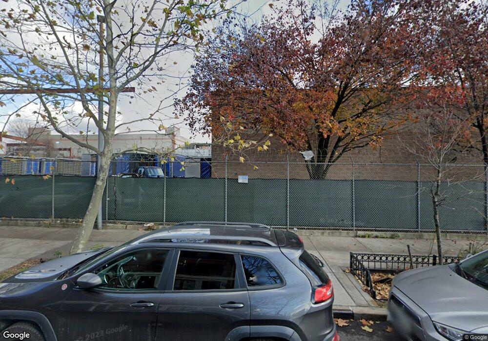
135 Williams Ave Brooklyn, NY 11207
Brownsville Neighborhood
--
Bed
--
Bath
18,650
Sq Ft
1.21
Acres
About This Home
This home is located at 135 Williams Ave, Brooklyn, NY 11207. 135 Williams Ave is a home located in Kings County with nearby schools including J.H.S 292 Margaret S. Douglas, Uncommon Schools Leadership Preparatory Ocean Hill Charter School, and Trey Whitfield School.
Ownership History
Date
Name
Owned For
Owner Type
Purchase Details
Closed on
Jul 31, 2025
Sold by
New York City Industrial Development Age
Bought by
Pursuit Realty Corp
Purchase Details
Closed on
Oct 19, 1999
Sold by
New York City Economic Development Corp
Bought by
Pursuit Realty Corp
Home Financials for this Owner
Home Financials are based on the most recent Mortgage that was taken out on this home.
Original Mortgage
$1,600,000
Interest Rate
8.5%
Mortgage Type
Commercial
Create a Home Valuation Report for This Property
The Home Valuation Report is an in-depth analysis detailing your home's value as well as a comparison with similar homes in the area
Home Values in the Area
Average Home Value in this Area
Purchase History
| Date | Buyer | Sale Price | Title Company |
|---|---|---|---|
| Pursuit Realty Corp | -- | -- | |
| Pursuit Realty Corp | $181,650 | -- | |
| New York Economic Development Corp | $181,650 | -- | |
| New York Economic Development Corp | $181,650 | -- | |
| New York City Industrial Development Age | -- | First American Title Ins Co | |
| New York City Industrial Development Age | -- | First American Title Ins Co |
Source: Public Records
Mortgage History
| Date | Status | Borrower | Loan Amount |
|---|---|---|---|
| Previous Owner | New York City Industrial Development Age | $1,600,000 |
Source: Public Records
Tax History Compared to Growth
Tax History
| Year | Tax Paid | Tax Assessment Tax Assessment Total Assessment is a certain percentage of the fair market value that is determined by local assessors to be the total taxable value of land and additions on the property. | Land | Improvement |
|---|---|---|---|---|
| 2025 | -- | $684,450 | $296,100 | $388,350 |
| 2024 | -- | $655,200 | $296,100 | $359,100 |
| 2023 | $0 | $632,250 | $296,100 | $336,150 |
| 2022 | $0 | $577,800 | $296,100 | $281,700 |
| 2021 | $0 | $468,450 | $296,100 | $172,350 |
| 2020 | $0 | $559,350 | $296,100 | $263,250 |
| 2019 | $0 | $559,350 | $296,100 | $263,250 |
| 2018 | $1 | $510,300 | $296,100 | $214,200 |
| 2017 | $1 | $472,050 | $296,100 | $175,950 |
| 2016 | $1 | $437,400 | $296,100 | $141,300 |
| 2015 | -- | $431,100 | $296,100 | $135,000 |
| 2014 | -- | $371,700 | $296,100 | $75,600 |
Source: Public Records
Map
Nearby Homes
- 45 Hinsdale St
- 22 Hinsdale St
- 34&36 Marginal St
- 1719 E New York Ave
- 297 Pennsylvania Ave
- 297 Hinsdale St
- 317 Pennsylvania Ave
- 243 Wyona St
- 663 Sutter Ave
- 159 Wyona St
- 667 Sutter Ave
- 2370 Atlantic Ave
- 353 Pennsylvania Ave
- 2358 Pacific St
- 105 Belmont Ave
- 101 Belmont Ave
- 459 Belmont Ave
- 90 Sackman St
- 637 Blake Ave
- 90 Wyona St
- 122 Alabama Ave
- 115 Williams Ave Unit 4
- 291 Glenmore Ave
- 282 Liberty Ave
- 284-286 Liberty Ave
- 270 Liberty Ave
- 165 Williams Ave
- 165-167 Williams Ave
- 116-138 Williams Ave
- 114 Williams Ave
- 317-339 Glenmore Ave
- 277 Glenmore Ave
- 292 Liberty Ave
- 300 Liberty Ave
- 264 Liberty Ave
- 292 Glenmore Ave
- 260 Liberty Ave
- 275 Glenmore Ave
- 284 Glenmore Ave
- 258 Liberty Ave