135 Yost Ln Johnstown, PA 15904
Richland NeighborhoodEstimated Value: $252,000 - $607,000
Studio
--
Bath
--
Sq Ft
37,287
Sq Ft Lot
About This Home
This home is located at 135 Yost Ln, Johnstown, PA 15904 and is currently estimated at $458,582. 135 Yost Ln is a home located in Cambria County with nearby schools including Richland Elementary School and Richland High School.
Ownership History
Date
Name
Owned For
Owner Type
Purchase Details
Closed on
May 29, 2020
Sold by
Yost Patrick and Yost Susan
Bought by
Yost Randall P and Yost Lori S
Current Estimated Value
Home Financials for this Owner
Home Financials are based on the most recent Mortgage that was taken out on this home.
Original Mortgage
$278,800
Outstanding Balance
$247,135
Interest Rate
3.2%
Mortgage Type
Stand Alone Refi Refinance Of Original Loan
Estimated Equity
$211,447
Purchase Details
Closed on
Jul 2, 2018
Sold by
Yost Patrick and Yost Susan
Bought by
Yost Patrick D and Yost Susan R
Purchase Details
Closed on
May 23, 2018
Sold by
Yoshur Inc
Bought by
Yost Patrick D and Yost Susan R
Purchase Details
Closed on
Sep 1, 1986
Bought by
Yost Patrick and Yost Susan
Create a Home Valuation Report for This Property
The Home Valuation Report is an in-depth analysis detailing your home's value as well as a comparison with similar homes in the area
Home Values in the Area
Average Home Value in this Area
Purchase History
| Date | Buyer | Sale Price | Title Company |
|---|---|---|---|
| Yost Randall P | $350,000 | None Available | |
| Yost Randall P | $350,000 | None Available | |
| Yost Patrick D | -- | -- | |
| Yost Patrick D | -- | -- | |
| Yost Patrick D | -- | -- | |
| Yost Patrick | -- | -- |
Source: Public Records
Mortgage History
| Date | Status | Borrower | Loan Amount |
|---|---|---|---|
| Open | Yost Randall P | $278,800 | |
| Closed | Yost Randall P | $278,800 |
Source: Public Records
Tax History
| Year | Tax Paid | Tax Assessment Tax Assessment Total Assessment is a certain percentage of the fair market value that is determined by local assessors to be the total taxable value of land and additions on the property. | Land | Improvement |
|---|---|---|---|---|
| 2025 | $1,803 | $44,510 | $1,440 | $43,070 |
| 2024 | $4,206 | $44,510 | $1,440 | $43,070 |
| 2023 | $4,093 | $44,510 | $1,440 | $43,070 |
| 2022 | $4,026 | $44,510 | $1,440 | $43,070 |
| 2021 | $4,137 | $44,510 | $1,440 | $43,070 |
| 2020 | $4,137 | $44,510 | $1,440 | $43,070 |
| 2019 | $4,048 | $44,510 | $1,440 | $43,070 |
| 2018 | $4,014 | $44,620 | $1,550 | $43,070 |
| 2017 | $4,036 | $44,620 | $1,550 | $43,070 |
| 2016 | $2,122 | $44,620 | $1,550 | $43,070 |
| 2015 | $1,316 | $44,620 | $1,550 | $43,070 |
| 2014 | $1,316 | $44,620 | $1,550 | $43,070 |
Source: Public Records
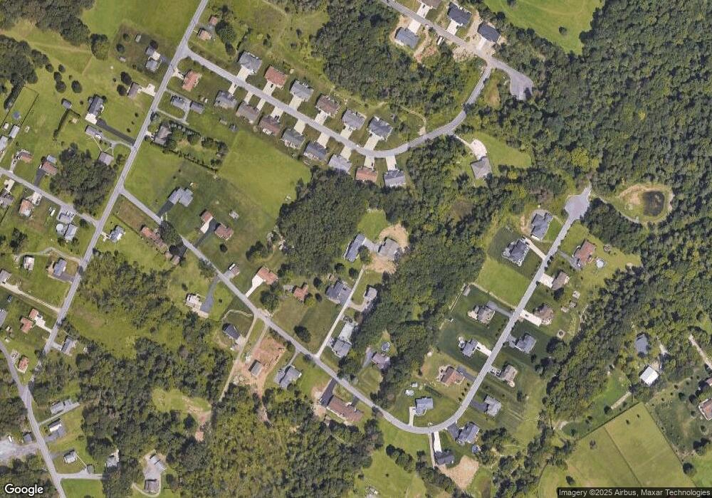
Map
Nearby Homes
- 356 Mount Airy Dr
- 170 Caitlyn Dr
- 0 Mount Airy Dr Unit 75145
- 0 Mount Airy Dr Unit 96037782
- 0 Mount Airy Dr Unit 1716723
- Lot 3 Fifty Acre Rd
- 0 Oakridge Dr Unit 96036959
- 74+/- ACRES AT 4045 Elton Rd
- 4543 Elton Rd
- 2398 Centennial Dr
- 342 Stonehedge Ct
- 104 Queens Row
- #1 Oakridge Springs Unit 1
- #12 Oakridge Springs Unit 12
- 123 Seese Dr
- 211 Dowling Rd
- 144-145 Western Ave
- 2534 Bedford St
- 137 Tank Dr
- 0 Forest Hills Drive Vacant Land - 5 48 Acres
Your Personal Tour Guide
Ask me questions while you tour the home.