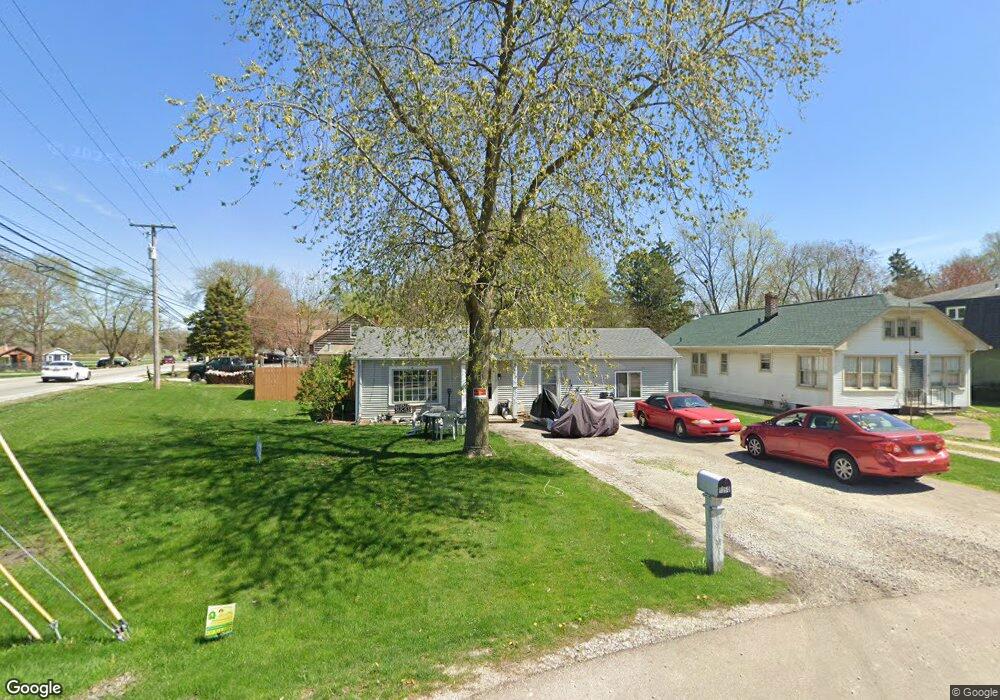
1350 5th St Aurora, IL 60505
Estimated Value: $139,187 - $212,000
2
Beds
1
Bath
740
Sq Ft
$238/Sq Ft
Est. Value
About This Home
This home is located at 1350 5th St, Aurora, IL 60505 and is currently estimated at $175,797, approximately $237 per square foot. 1350 5th St is a home located in Kane County with nearby schools including Dieterich Elementary School, K D Waldo Middle School, and East Aurora High School.
Ownership History
Date
Name
Owned For
Owner Type
Purchase Details
Closed on
Dec 15, 2023
Sold by
Starble Francis A
Bought by
Sheppard Jason W
Current Estimated Value
Purchase Details
Closed on
Sep 17, 2004
Sold by
Stone Stanley L and Stone Margery L
Bought by
Starble Frank
Home Financials for this Owner
Home Financials are based on the most recent Mortgage that was taken out on this home.
Original Mortgage
$120,000
Interest Rate
5.93%
Mortgage Type
Purchase Money Mortgage
Purchase Details
Closed on
Jun 18, 1996
Sold by
Stone Margery L
Bought by
Stone Stanley L
Create a Home Valuation Report for This Property
The Home Valuation Report is an in-depth analysis detailing your home's value as well as a comparison with similar homes in the area
Home Values in the Area
Average Home Value in this Area
Purchase History
| Date | Buyer | Sale Price | Title Company |
|---|---|---|---|
| Sheppard Jason W | $80,000 | None Listed On Document | |
| Starble Frank | $88,000 | Chicago Title Insurance Comp | |
| Stone Stanley L | -- | -- |
Source: Public Records
Mortgage History
| Date | Status | Borrower | Loan Amount |
|---|---|---|---|
| Previous Owner | Starble Frank | $120,000 |
Source: Public Records
Tax History
| Year | Tax Paid | Tax Assessment Tax Assessment Total Assessment is a certain percentage of the fair market value that is determined by local assessors to be the total taxable value of land and additions on the property. | Land | Improvement |
|---|---|---|---|---|
| 2024 | $2,863 | $49,455 | $7,474 | $41,981 |
| 2023 | $2,635 | $44,188 | $6,678 | $37,510 |
| 2022 | $2,426 | $40,317 | $6,093 | $34,224 |
| 2021 | $2,413 | $37,536 | $5,673 | $31,863 |
| 2020 | $2,079 | $31,283 | $5,269 | $26,014 |
| 2019 | $2,062 | $28,985 | $4,882 | $24,103 |
| 2018 | $2,049 | $27,404 | $4,516 | $22,888 |
| 2017 | $2,063 | $25,250 | $4,161 | $21,089 |
| 2016 | $2,040 | $22,951 | $4,032 | $18,919 |
| 2015 | -- | $19,858 | $3,467 | $16,391 |
| 2014 | -- | $18,950 | $3,186 | $15,764 |
| 2013 | -- | $19,365 | $3,204 | $16,161 |
Source: Public Records
Map
Nearby Homes
- 1235 Talma St
- 1341 Hinckley St
- 1127 Talma St
- 1026 S 4th St
- 523 Ashland Ave
- 1208 S Union St
- Lot 1 Douglas Ave
- 1146 S Union St
- 941 S 4th St
- 557 Binder St
- 1417 Manning Ave
- 819 Pearl St
- 552 Simms St
- 186 Manning Ave
- 2071 Wiesbrook Dr
- 741 Hinman St
- 743 Bangs St
- 307 Huntington Ct
- 209 Huntington Ct
- 712 S Spencer St
Your Personal Tour Guide
Ask me questions while you tour the home.