1350 Lowrys Rd Mc Connells, SC 29726
Estimated Value: $1,079,000 - $1,320,000
--
Bed
2
Baths
7,194
Sq Ft
$166/Sq Ft
Est. Value
About This Home
This home is located at 1350 Lowrys Rd, Mc Connells, SC 29726 and is currently estimated at $1,195,362, approximately $166 per square foot. 1350 Lowrys Rd is a home with nearby schools including Jefferson Elementary School, York Intermediate School, and York Middle School.
Ownership History
Date
Name
Owned For
Owner Type
Purchase Details
Closed on
Jan 29, 2019
Sold by
Choudhury Anju
Bought by
J & S Land And Cattle Llc
Current Estimated Value
Purchase Details
Closed on
Aug 13, 2018
Sold by
J & S Land And Cattle Llc
Bought by
Choudhury Anju
Purchase Details
Closed on
Mar 6, 2012
Sold by
J & S Land & Cattle Llc
Bought by
Callahan Shannon
Purchase Details
Closed on
Nov 22, 1999
Sold by
Wilson Evelyn B
Bought by
Schultz Timothy
Create a Home Valuation Report for This Property
The Home Valuation Report is an in-depth analysis detailing your home's value as well as a comparison with similar homes in the area
Home Values in the Area
Average Home Value in this Area
Purchase History
| Date | Buyer | Sale Price | Title Company |
|---|---|---|---|
| J & S Land And Cattle Llc | -- | None Available | |
| Choudhury Anju | -- | None Available | |
| Callahan Shannon | -- | -- | |
| Schultz Timothy | $8,100 | -- |
Source: Public Records
Tax History Compared to Growth
Tax History
| Year | Tax Paid | Tax Assessment Tax Assessment Total Assessment is a certain percentage of the fair market value that is determined by local assessors to be the total taxable value of land and additions on the property. | Land | Improvement |
|---|---|---|---|---|
| 2024 | $5,064 | $30,200 | $262 | $29,938 |
| 2023 | $5,173 | $30,200 | $262 | $29,938 |
| 2022 | $5,379 | $27,720 | $262 | $27,458 |
| 2021 | -- | $27,720 | $262 | $27,458 |
| 2020 | $5,336 | $27,720 | $0 | $0 |
| 2019 | $13,151 | $31,942 | $0 | $0 |
| 2018 | $3,785 | $34,920 | $0 | $0 |
| 2017 | $3,595 | $22,093 | $0 | $0 |
| 2016 | $3,547 | $22,093 | $0 | $0 |
| 2014 | $13,560 | $22,093 | $1,213 | $20,880 |
| 2013 | $13,560 | $25,053 | $1,213 | $23,840 |
Source: Public Records
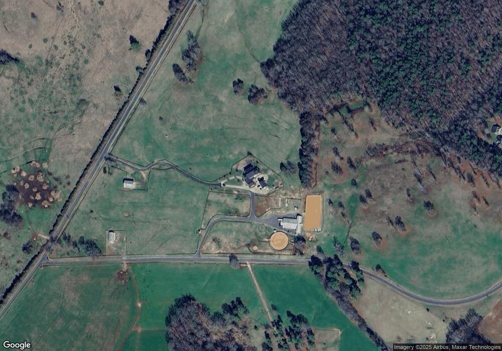
Map
Nearby Homes
- 615 Hawley Rd
- 930 Hawley Rd
- 1355 Mack Dr
- 1369 Mack Dr
- 5392 Chester Hwy
- 1348 Bryson Creek Dr
- 1302 Bryson Creek Dr
- 237 Garvin Rd
- 5072 Mobley Store Rd
- 5027 Mobley Store Rd
- 1180 Simpson Rd
- 1865 McConnells Hwy W
- 150 Orindawood Dr
- 1371 Hawks Nest Rd
- 108 Daves Rd
- 6001 Williamson Rd
- 4271 Erby Rd
- 1980 Garvin Rd
- 417 Canary Ln
- 665 N Burris Rd
- 1083 Lowrys Rd
- 1095 Lowrys Rd
- 725 Hawley Rd
- 787 Hawley Rd
- 811 Lowrys Rd
- 525 Hawley Rd
- 5 Greenglen Rd
- 700 Hawley Rd
- 455 Greenglen Rd
- 450 Greenglen Rd
- 824 Hawley Rd
- 824 Hawley Rd
- 00 Hawley Rd
- 434 Greenglen Rd Unit 11
- 434 Greenglen Rd
- 385 Greenglen Rd
- 620 Hawley Rd
- 374 Greenglen Rd
- 590 Hawley Rd
- 353 Greenglen Rd