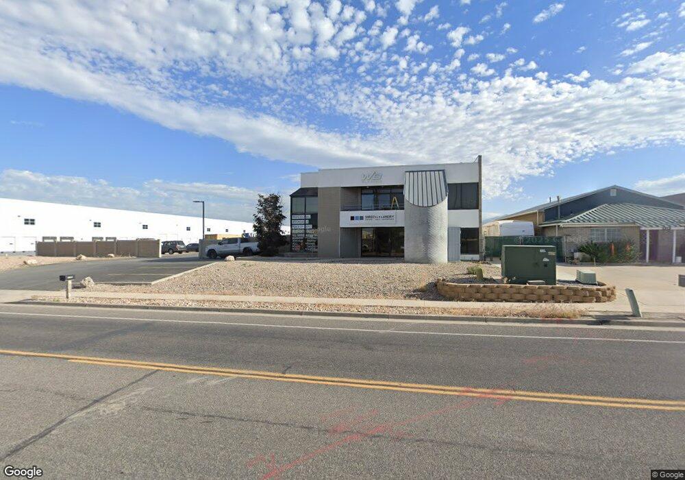
1350 W 2600 S Woods Cross, UT 84087
--
Bed
--
Bath
5,523
Sq Ft
9.6
Acres
About This Home
This home is located at 1350 W 2600 S, Woods Cross, UT 84087. 1350 W 2600 S is a home located in Davis County with nearby schools including Odyssey School, South Davis Junior High School, and Woods Cross High School.
Ownership History
Date
Name
Owned For
Owner Type
Purchase Details
Closed on
Dec 12, 2024
Sold by
White Brian David and White Shirley H
Bought by
W B Holdings Llc
Home Financials for this Owner
Home Financials are based on the most recent Mortgage that was taken out on this home.
Original Mortgage
$1,852,500
Outstanding Balance
$1,836,046
Interest Rate
6.72%
Mortgage Type
New Conventional
Purchase Details
Closed on
Jul 9, 2018
Sold by
White David Elswood
Bought by
White David E and White Family Trust
Create a Home Valuation Report for This Property
The Home Valuation Report is an in-depth analysis detailing your home's value as well as a comparison with similar homes in the area
Home Values in the Area
Average Home Value in this Area
Purchase History
| Date | Buyer | Sale Price | Title Company |
|---|---|---|---|
| W B Holdings Llc | -- | First American Title Insurance | |
| W B Holdings Llc | -- | First American Title Insurance | |
| W B Holdings Llc | -- | First American Title Insurance | |
| White David E | -- | None Available |
Source: Public Records
Mortgage History
| Date | Status | Borrower | Loan Amount |
|---|---|---|---|
| Open | W B Holdings Llc | $1,852,500 | |
| Closed | W B Holdings Llc | $1,852,500 |
Source: Public Records
Tax History Compared to Growth
Tax History
| Year | Tax Paid | Tax Assessment Tax Assessment Total Assessment is a certain percentage of the fair market value that is determined by local assessors to be the total taxable value of land and additions on the property. | Land | Improvement |
|---|---|---|---|---|
| 2025 | $8,774 | $691,634 | $228,690 | $462,944 |
| 2024 | $8,774 | $437,897 | $183,278 | $254,619 |
| 2023 | $8,172 | $416,335 | $161,716 | $254,619 |
| 2022 | $8,112 | $756,974 | $294,030 | $462,944 |
| 2021 | $8,278 | $679,600 | $216,656 | $462,944 |
| 2020 | $8,664 | $707,876 | $262,608 | $445,268 |
| 2019 | $7,886 | $629,230 | $183,961 | $445,269 |
| 2018 | $7,579 | $599,267 | $183,961 | $415,306 |
| 2016 | $6,387 | $498,500 | $111,731 | $386,769 |
| 2015 | $5,845 | $440,000 | $111,731 | $328,269 |
| 2014 | $5,677 | $440,000 | $111,731 | $328,269 |
| 2013 | -- | $440,000 | $111,731 | $328,269 |
Source: Public Records
Map
Nearby Homes
- 1384 W 2175 S
- 1255 W 2050 S
- 240 E 1100 N Unit B 7
- 1984 S 1500 W
- 260 E 1100 N
- 260 E 1100 N Unit A14
- 1998 S 1600 W
- 259 Lionel St Unit 373
- 298 Percival St Unit 354
- 2024 S 925 W
- 246 Galahad St
- 913 W 2025 S
- 1143 N Meridian Ln Unit 118
- 1149 N Meridian Ln Unit 119
- 1153 N Meridian Ln Unit 120
- 1165 N Meridian Ln Unit 123
- 1169 N Meridian Ln Unit 124
- 1175 N Meridian Ln Unit 125
- 1152 N Clifton Dr Unit 116
- 1156 N Clifton Dr Unit 115