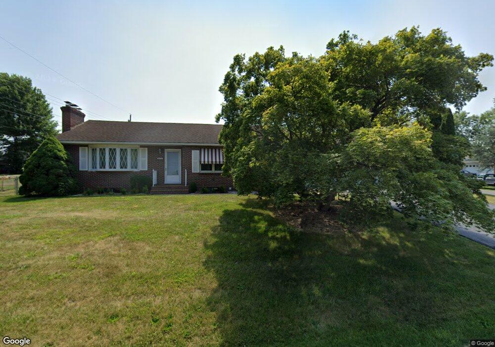
13501 Royal Rd Hagerstown, MD 21742
Estimated Value: $320,000 - $342,000
--
Bed
2
Baths
1,476
Sq Ft
$225/Sq Ft
Est. Value
About This Home
This home is located at 13501 Royal Rd, Hagerstown, MD 21742 and is currently estimated at $332,499, approximately $225 per square foot. 13501 Royal Rd is a home located in Washington County with nearby schools including Maugansville Elementary School, Western Heights Middle School, and North Hagerstown High School.
Ownership History
Date
Name
Owned For
Owner Type
Purchase Details
Closed on
Apr 6, 2022
Sold by
Buckley Patrick G
Bought by
Buckley Timothy M and Turner Linda L
Current Estimated Value
Home Financials for this Owner
Home Financials are based on the most recent Mortgage that was taken out on this home.
Original Mortgage
$150,000
Outstanding Balance
$141,505
Interest Rate
4.67%
Mortgage Type
New Conventional
Estimated Equity
$190,994
Purchase Details
Closed on
Jul 11, 1989
Sold by
Divelbiss Glenn A
Bought by
Buckley Patrick G and Buckley Norma A
Create a Home Valuation Report for This Property
The Home Valuation Report is an in-depth analysis detailing your home's value as well as a comparison with similar homes in the area
Home Values in the Area
Average Home Value in this Area
Purchase History
| Date | Buyer | Sale Price | Title Company |
|---|---|---|---|
| Buckley Timothy M | $188,000 | None Listed On Document | |
| Buckley Patrick G | $97,000 | -- |
Source: Public Records
Mortgage History
| Date | Status | Borrower | Loan Amount |
|---|---|---|---|
| Open | Buckley Timothy M | $150,000 |
Source: Public Records
Tax History Compared to Growth
Tax History
| Year | Tax Paid | Tax Assessment Tax Assessment Total Assessment is a certain percentage of the fair market value that is determined by local assessors to be the total taxable value of land and additions on the property. | Land | Improvement |
|---|---|---|---|---|
| 2025 | $2,259 | $258,533 | $0 | $0 |
| 2024 | $2,259 | $218,200 | $76,900 | $141,300 |
| 2023 | $2,157 | $208,367 | $0 | $0 |
| 2022 | $2,056 | $198,533 | $0 | $0 |
| 2021 | $2,000 | $188,700 | $76,900 | $111,800 |
| 2020 | $1,936 | $185,667 | $0 | $0 |
| 2019 | $1,936 | $182,633 | $0 | $0 |
| 2018 | $2,164 | $179,600 | $76,900 | $102,700 |
| 2017 | $1,882 | $178,567 | $0 | $0 |
| 2016 | -- | $177,533 | $0 | $0 |
| 2015 | -- | $176,500 | $0 | $0 |
| 2014 | $2,065 | $176,500 | $0 | $0 |
Source: Public Records
Map
Nearby Homes
- 18608 Maugans Ave
- 13607 Grandview Dr
- 13715 Dixie Dr
- 18514 Indian Cottage Rd
- 18619 Donald St
- 13321 Pennsylvania Ave
- 13510 Sovereign Terrace
- 13603 Cambridge Dr
- 18727 Dover Dr
- 18806 Fountain Terrace
- 18731 Rolling Rd
- 13315 Club Rd
- 18735 Briarwood Dr
- 18615 Preston Rd
- 13238 Club Rd
- 19120 Olde Waterford Rd
- 18812 Island Dr
- 13702 Pulaski Dr
- 13706 Pulaski Dr
- 13709 Pulaski Dr
- 18603 Maugans Ave
- 16808 Petmar Cir
- 18607 Maugans Ave
- 16803 Petmar Cir
- 13502 Royal Rd
- 16807 Petmar Cir
- 18549 Maugans Ave
- 16839 Petmar Cir
- 16811 Petmar Cir
- 18611 Maugans Ave
- 16812 Petmar Cir
- 16823 Petmar Cir
- 16835 Petmar Cir
- 16819 Petmar Cir
- 0 Maugans Ave Unit WA4965867
- 18545 Maugans Ave
- 16864 Petmar Cir
- 16815 Petmar Cir
- 16827 Petmar Cir
- 18615 Maugans Ave