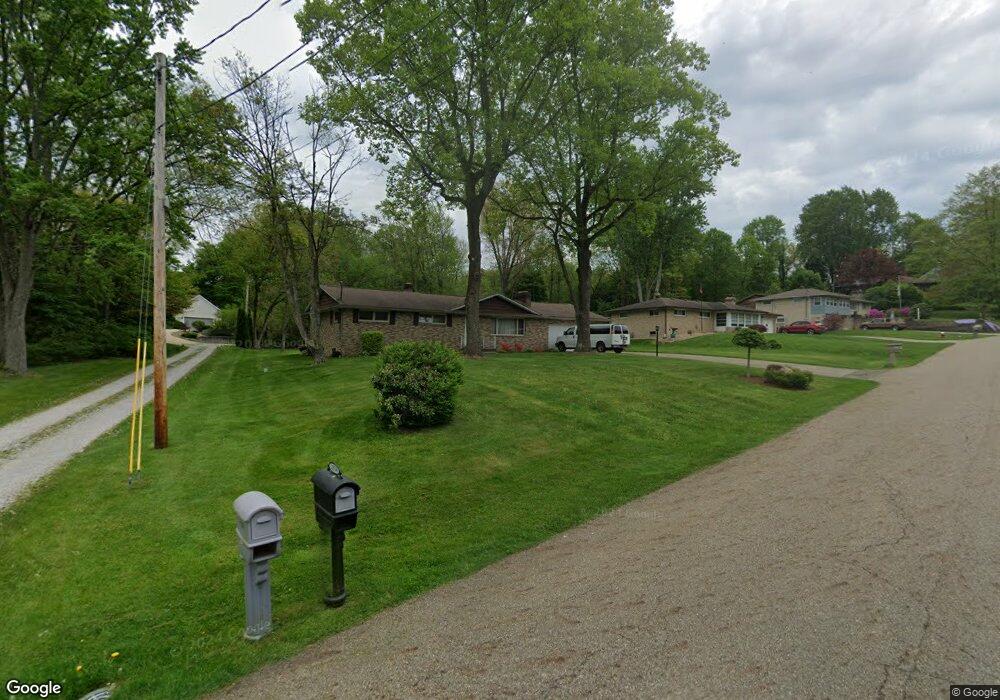
13502 Theeland Ave NW Uniontown, OH 44685
Estimated Value: $223,687 - $266,000
3
Beds
2
Baths
1,428
Sq Ft
$171/Sq Ft
Est. Value
About This Home
This home is located at 13502 Theeland Ave NW, Uniontown, OH 44685 and is currently estimated at $244,422, approximately $171 per square foot. 13502 Theeland Ave NW is a home located in Stark County with nearby schools including Lake Middle/High School, Lake Center Christian School, and Mayfair Christian School.
Ownership History
Date
Name
Owned For
Owner Type
Purchase Details
Closed on
Sep 8, 2004
Sold by
Arnold Dorothy H
Bought by
Schumacher Raymond A and Schumacher Melony A
Current Estimated Value
Home Financials for this Owner
Home Financials are based on the most recent Mortgage that was taken out on this home.
Original Mortgage
$115,200
Interest Rate
8%
Mortgage Type
Purchase Money Mortgage
Purchase Details
Closed on
Nov 25, 2002
Sold by
Arnold Dorothy H
Bought by
Arnold Dorothy H and The Dorothy H Arnold Trust
Create a Home Valuation Report for This Property
The Home Valuation Report is an in-depth analysis detailing your home's value as well as a comparison with similar homes in the area
Home Values in the Area
Average Home Value in this Area
Purchase History
| Date | Buyer | Sale Price | Title Company |
|---|---|---|---|
| Schumacher Raymond A | $144,000 | Buckeye Reserve Title Agency | |
| Arnold Dorothy H | -- | -- |
Source: Public Records
Mortgage History
| Date | Status | Borrower | Loan Amount |
|---|---|---|---|
| Closed | Schumacher Raymond A | $115,200 | |
| Closed | Schumacher Raymond A | $28,800 |
Source: Public Records
Tax History Compared to Growth
Tax History
| Year | Tax Paid | Tax Assessment Tax Assessment Total Assessment is a certain percentage of the fair market value that is determined by local assessors to be the total taxable value of land and additions on the property. | Land | Improvement |
|---|---|---|---|---|
| 2025 | -- | $59,680 | $18,170 | $41,510 |
| 2024 | -- | $59,680 | $18,170 | $41,510 |
| 2023 | $3,385 | $54,570 | $13,270 | $41,300 |
| 2022 | $3,395 | $54,570 | $13,270 | $41,300 |
| 2021 | $3,425 | $54,570 | $13,270 | $41,300 |
| 2020 | $3,320 | $46,940 | $11,410 | $35,530 |
| 2019 | $3,298 | $53,340 | $11,410 | $41,930 |
| 2018 | $3,668 | $53,340 | $11,410 | $41,930 |
| 2017 | $3,555 | $47,530 | $9,870 | $37,660 |
| 2016 | $3,560 | $47,530 | $9,870 | $37,660 |
| 2015 | $3,561 | $47,530 | $9,870 | $37,660 |
| 2014 | $1,355 | $45,470 | $9,450 | $36,020 |
| 2013 | $1,678 | $45,470 | $9,450 | $36,020 |
Source: Public Records
Map
Nearby Homes
- 3100 Linden St NW
- 2944 Pontius St NW
- 13341 Sugar Bush Ave NW
- 3310 Linden St NW
- 91 Pontius Rd
- 2498 Foxfire St NW
- 0 Pontius Rd Unit 5163828
- 0 Pine St NW
- 13792 Amodio Ave NW
- 2025 Portage Line Rd
- 3796 Sweitzer St NW
- 2693 Ledgestone Dr NW
- 835 Brodie Ct
- 843 Brodie Ct
- 12494 Bridgemont Ave NW
- 2399 Ledgestone Dr NW
- 2455 Ledgestone Dr NW
- 2439 Ledgestone Dr NW
- 2411 Ledgestone Dr NW
- 13025 Sunset Cir NW
- 13476 Theeland Ave NW
- 13524 Theeland Ave NW
- 13518 Theeland Ave NW
- 13458 Theeland Ave NW
- 13501 Theeland Ave NW
- 13475 Theeland Ave NW
- 13544 Theeland Ave NW
- 13519 Theeland Ave NW
- 13519 Theeland Ave NW
- 13440 Theeland Ave NW
- 13457 Theeland Ave NW
- 13514 Theeland Ave NW
- 2888 Linden St NW
- 2880 Linden St NW
- 13439 Theeland Ave NW
- 13420 Theeland Ave NW
- 2904 Linden St NW
- 13477 Mogadore Ave NW
- 13495 Mogadore Ave NW
- 13464 Judy Ave NW