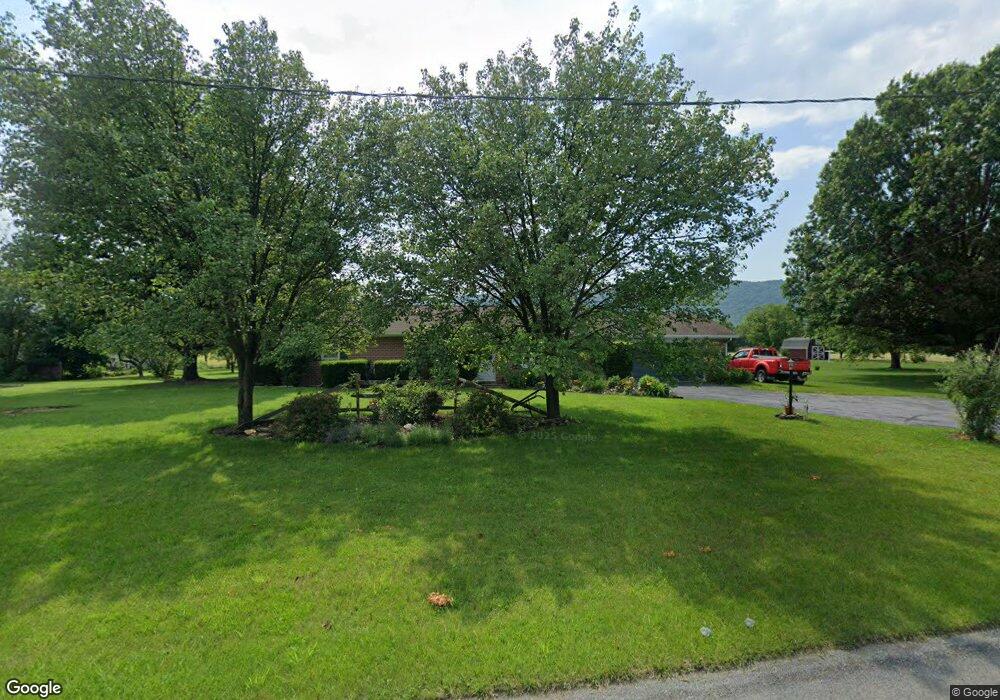
13509 Cumberland Hwy Orrstown, PA 17244
Estimated Value: $69,952 - $342,000
--
Bed
--
Bath
1,500
Sq Ft
$161/Sq Ft
Est. Value
About This Home
This home is located at 13509 Cumberland Hwy, Orrstown, PA 17244 and is currently estimated at $242,238, approximately $161 per square foot. 13509 Cumberland Hwy is a home located in Franklin County with nearby schools including Chambersburg Area Middle School - North, Chambersburg Area Senior High School, and Otterbein School.
Ownership History
Date
Name
Owned For
Owner Type
Purchase Details
Closed on
May 25, 2005
Sold by
Holtry William D and Holtry Amy M
Bought by
Holtry Ii William D and Holtry Amy M
Current Estimated Value
Home Financials for this Owner
Home Financials are based on the most recent Mortgage that was taken out on this home.
Original Mortgage
$76,800
Interest Rate
5.94%
Mortgage Type
Purchase Money Mortgage
Create a Home Valuation Report for This Property
The Home Valuation Report is an in-depth analysis detailing your home's value as well as a comparison with similar homes in the area
Home Values in the Area
Average Home Value in this Area
Purchase History
| Date | Buyer | Sale Price | Title Company |
|---|---|---|---|
| Holtry Ii William D | -- | None Available |
Source: Public Records
Mortgage History
| Date | Status | Borrower | Loan Amount |
|---|---|---|---|
| Closed | Holtry Ii William D | $76,800 |
Source: Public Records
Tax History Compared to Growth
Tax History
| Year | Tax Paid | Tax Assessment Tax Assessment Total Assessment is a certain percentage of the fair market value that is determined by local assessors to be the total taxable value of land and additions on the property. | Land | Improvement |
|---|---|---|---|---|
| 2025 | $3,287 | $19,720 | $1,300 | $18,420 |
| 2024 | $3,187 | $19,720 | $1,300 | $18,420 |
| 2023 | $3,090 | $19,720 | $1,300 | $18,420 |
| 2022 | $3,020 | $19,720 | $1,300 | $18,420 |
| 2021 | $3,020 | $19,720 | $1,300 | $18,420 |
| 2020 | $2,943 | $19,720 | $1,300 | $18,420 |
| 2019 | $2,832 | $19,720 | $1,300 | $18,420 |
| 2018 | $2,729 | $19,720 | $1,300 | $18,420 |
| 2017 | $2,639 | $19,720 | $1,300 | $18,420 |
| 2016 | $565 | $19,720 | $1,300 | $18,420 |
| 2015 | $527 | $19,720 | $1,300 | $18,420 |
| 2014 | $527 | $19,720 | $1,300 | $18,420 |
Source: Public Records
Map
Nearby Homes
- 10119 Cardinal Dr
- 12778 Cumberland Hwy
- 10992 Roxbury Rd
- 8172 Roxbury Rd
- 14312 McCalmont Rd
- 12923 Forge Hill Rd
- 0 Mountain Rd
- 6595 Upper Strasburg Rd
- 9579 Upper Strasburg Rd
- 9697 Upper Strasburg Rd
- 9635 Upper Strasburg Rd
- 8510 Newburg Rd
- 4043 Campbell Cir
- 10572 Upper Strasburg Rd
- 4560 Orrstown Rd Unit 1
- 0 Cumberland Hwy
- 26 Jamestown Rd
- 0 Upper Strasburg Rd Unit PAFL2029120
- 13482 Mongul Hill Rd
- 0 Hill Rd
- 13459 Sandy Mount Rd
- 13515 Cumberland Hwy
- 13527 Cumberland Hwy
- 13508 Cumberland Hwy
- 13496 Cumberland Hwy
- 13520 Cumberland Hwy
- 13437 Sandy Mount Rd
- 13484 Cumberland Hwy
- 13532 Cumberland Hwy
- 13460 Cumberland Hwy
- 13544 Cumberland Hwy
- 13517 Mockingbird Ln
- 13497 Mockingbird Ln
- 13436 Cumberland Hwy
- 13477 Mockingbird Ln
- 13537 Mockingbird Ln
- 10125 Cardinal Dr
- 13569 Cumberland Hwy
- 13457 Mockingbird Ln
- 13556 Cumberland Hwy