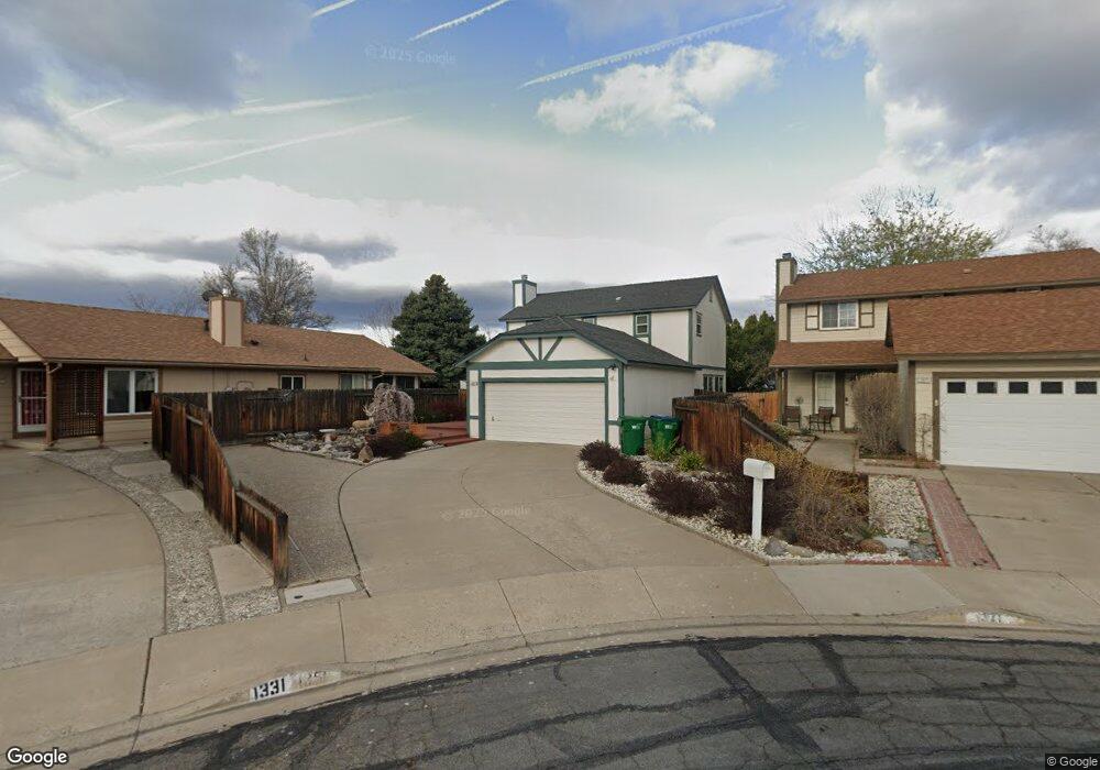
1351 Burnside Ct Sparks, NV 89434
O'Callaghan NeighborhoodEstimated Value: $448,000 - $478,000
3
Beds
3
Baths
1,508
Sq Ft
$307/Sq Ft
Est. Value
About This Home
This home is located at 1351 Burnside Ct, Sparks, NV 89434 and is currently estimated at $462,799, approximately $306 per square foot. 1351 Burnside Ct is a home located in Washoe County with nearby schools including Katherine Dunn Elementary School, George L Dilworth Middle School, and Edward C Reed High School.
Ownership History
Date
Name
Owned For
Owner Type
Purchase Details
Closed on
Mar 26, 2005
Sold by
Loudermilk Richard C and Loudermilk La Vonne E
Bought by
Loudermilk Richard C and Loudermilk Lavonne E
Current Estimated Value
Home Financials for this Owner
Home Financials are based on the most recent Mortgage that was taken out on this home.
Original Mortgage
$50,000
Interest Rate
5.99%
Mortgage Type
New Conventional
Create a Home Valuation Report for This Property
The Home Valuation Report is an in-depth analysis detailing your home's value as well as a comparison with similar homes in the area
Home Values in the Area
Average Home Value in this Area
Purchase History
| Date | Buyer | Sale Price | Title Company |
|---|---|---|---|
| Loudermilk Richard C | -- | -- |
Source: Public Records
Mortgage History
| Date | Status | Borrower | Loan Amount |
|---|---|---|---|
| Closed | Loudermilk Richard C | $50,000 |
Source: Public Records
Tax History Compared to Growth
Tax History
| Year | Tax Paid | Tax Assessment Tax Assessment Total Assessment is a certain percentage of the fair market value that is determined by local assessors to be the total taxable value of land and additions on the property. | Land | Improvement |
|---|---|---|---|---|
| 2025 | $1,680 | $70,450 | $34,580 | $35,870 |
| 2024 | $1,680 | $69,544 | $32,725 | $36,819 |
| 2023 | $1,631 | $67,620 | $32,305 | $35,315 |
| 2022 | $1,584 | $55,784 | $26,005 | $29,779 |
| 2021 | $1,538 | $49,875 | $19,845 | $30,030 |
| 2020 | $1,491 | $50,246 | $19,775 | $30,471 |
| 2019 | $1,448 | $48,700 | $18,935 | $29,765 |
| 2018 | $1,407 | $43,474 | $13,965 | $29,509 |
| 2017 | $1,365 | $42,541 | $12,670 | $29,871 |
| 2016 | $1,331 | $42,127 | $11,410 | $30,717 |
| 2015 | $1,328 | $40,661 | $9,625 | $31,036 |
| 2014 | $1,278 | $37,995 | $8,225 | $29,770 |
| 2013 | -- | $34,180 | $6,090 | $28,090 |
Source: Public Records
Map
Nearby Homes
- 1770 Burnside Dr
- 1332 Coachman Ct
- 1655 Sabatino Dr
- 1728 Bluehaven Dr
- 1990 Fargo Way
- 1544 Woodhaven Ln
- 1280 O'Callaghan Dr
- 1218 Junction Dr
- 2252 Sycamore Glen Dr
- 1970 Woodhaven Ln
- 2002 Wabash Cir
- 2435 Sycamore Glen Dr Unit 2
- 2407 Sunny Slope Dr Unit 1
- 1897 Bonita Vista Dr
- 2688 Laguna Way
- 2763 Blossom View Dr
- 1973 Rio Tinto Dr
- 1688 Round Mountain Cir
- 675 Parlanti Ln Unit 52
- 675 Parlanti Ln Unit 124
- 1371 Burnside Ct
- 1331 Burnside Ct
- 1391 Burnside Ct
- 1322 Union St
- 1302 Union St
- 1421 Burnside Ct
- 1362 Union St
- 1550 Union Ct
- 1530 Union Ct
- 1330 Burnside Ct
- 1350 Burnside Ct
- 1441 Burnside Ct
- 1412 Union St
- 1560 Union Ct
- 1510 Union Ct
- 1370 Burnside Ct
- 1390 Burnside Ct
- 1420 Burnside Ct
- 1461 Burnside Ct
- 1432 Union St