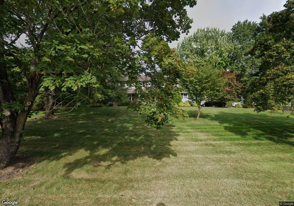
1351 Mallard Dr Martinsville, NJ 08836
Estimated Value: $941,578 - $1,011,000
--
Bed
--
Bath
2,630
Sq Ft
$370/Sq Ft
Est. Value
About This Home
This home is located at 1351 Mallard Dr, Martinsville, NJ 08836 and is currently estimated at $973,895, approximately $370 per square foot. 1351 Mallard Dr is a home located in Somerset County with nearby schools including Crim Primary School, Bridgewater-Raritan Middle School, and Hillside Intermediate School.
Ownership History
Date
Name
Owned For
Owner Type
Purchase Details
Closed on
Nov 1, 2011
Sold by
Flakker James E and Flakker Jessica L
Bought by
White Brian P and White Rebecca A
Current Estimated Value
Home Financials for this Owner
Home Financials are based on the most recent Mortgage that was taken out on this home.
Original Mortgage
$540,442
Outstanding Balance
$375,223
Interest Rate
4.4%
Mortgage Type
FHA
Estimated Equity
$598,672
Purchase Details
Closed on
Jun 10, 2009
Sold by
Jaeger Jane E
Bought by
Flakker James E and Flakker Jessica L
Home Financials for this Owner
Home Financials are based on the most recent Mortgage that was taken out on this home.
Original Mortgage
$417,000
Interest Rate
4.92%
Mortgage Type
Purchase Money Mortgage
Create a Home Valuation Report for This Property
The Home Valuation Report is an in-depth analysis detailing your home's value as well as a comparison with similar homes in the area
Home Values in the Area
Average Home Value in this Area
Purchase History
| Date | Buyer | Sale Price | Title Company |
|---|---|---|---|
| White Brian P | $555,000 | First American Title Ins Co | |
| Flakker James E | $550,000 | None Available |
Source: Public Records
Mortgage History
| Date | Status | Borrower | Loan Amount |
|---|---|---|---|
| Open | White Brian P | $540,442 | |
| Previous Owner | Flakker James E | $417,000 |
Source: Public Records
Tax History Compared to Growth
Tax History
| Year | Tax Paid | Tax Assessment Tax Assessment Total Assessment is a certain percentage of the fair market value that is determined by local assessors to be the total taxable value of land and additions on the property. | Land | Improvement |
|---|---|---|---|---|
| 2025 | $13,057 | $703,600 | $313,000 | $390,600 |
| 2024 | $13,057 | $670,300 | $313,000 | $357,300 |
| 2023 | $12,325 | $621,200 | $313,000 | $308,200 |
| 2022 | $11,832 | $573,800 | $308,000 | $265,800 |
| 2021 | $11,679 | $558,600 | $308,000 | $250,600 |
| 2020 | $11,676 | $555,200 | $308,000 | $247,200 |
| 2019 | $11,339 | $534,100 | $308,000 | $226,100 |
| 2018 | $11,211 | $529,300 | $308,000 | $221,300 |
| 2017 | $11,155 | $526,200 | $308,000 | $218,200 |
| 2016 | $10,970 | $525,400 | $308,000 | $217,400 |
| 2015 | $10,919 | $523,200 | $308,000 | $215,200 |
| 2014 | $10,580 | $499,300 | $308,000 | $191,300 |
Source: Public Records
Map
Nearby Homes
- 1831 Washington Valley Rd
- 1869 Washington Valley Rd
- 10 Assante Ln
- 1899 Washington Valley Rd
- 7 Meyers Way
- 1825 Kennesaw Way
- 61 Christy Dr
- 57 Christy Dr
- 1930 Mountain Top Rd
- 6 Mount Horeb Rd
- 112 Loft Dr Unit II112
- 6 Hardwood Ct
- 1600 Mountain Top Rd
- 114 Branch Rd
- 2044 Washington Valley Rd
- 499 Foothill Rd
- 5 2nd St
- 2105 Washington Valley Rd
- 2111 Washington Valley Rd
- 1266 Mount Vernon Rd
- 1343 Mallard Dr
- 1359 Mallard Dr
- 1337 Mallard Dr
- 1350 Mallard Dr
- 1367 Mallard Dr
- 1354 Mallard Dr
- 1346 Mallard Dr
- 1358 Mallard Dr
- 1340 Mallard Dr
- 1371 Mallard Dr
- 1362 Mallard Dr
- 1334 Mallard Dr
- 1331 Mallard Dr
- 1370 Mallard Dr
- 1375 Mallard Dr
- 1757 W Circle Dr
- 1328 Mallard Dr
- 1370 Cricket Ln
- 1745 Arrowbrook Dr
- 1374 Mallard Dr