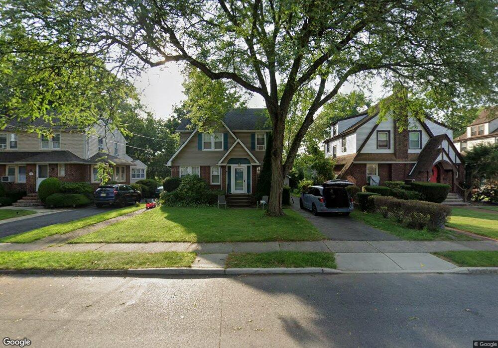
1351 Taft Rd Teaneck, NJ 07666
Estimated Value: $826,000 - $868,000
--
Bed
--
Bath
2,040
Sq Ft
$414/Sq Ft
Est. Value
About This Home
This home is located at 1351 Taft Rd, Teaneck, NJ 07666 and is currently estimated at $843,708, approximately $413 per square foot. 1351 Taft Rd is a home located in Bergen County with nearby schools including Teaneck Senior High School, Yeshivat He'atid, and Grace Lutheran School.
Ownership History
Date
Name
Owned For
Owner Type
Purchase Details
Closed on
Sep 9, 2016
Sold by
Mcbride Timothy M and Mcbride Suzanne C
Bought by
Steinhart Raphael and Steinhart Evie
Current Estimated Value
Home Financials for this Owner
Home Financials are based on the most recent Mortgage that was taken out on this home.
Original Mortgage
$382,000
Outstanding Balance
$305,323
Interest Rate
3.45%
Mortgage Type
New Conventional
Estimated Equity
$538,385
Purchase Details
Closed on
Jul 31, 1981
Bought by
Mcbride Timothy M and Mcbride Suzanne C
Create a Home Valuation Report for This Property
The Home Valuation Report is an in-depth analysis detailing your home's value as well as a comparison with similar homes in the area
Home Values in the Area
Average Home Value in this Area
Purchase History
| Date | Buyer | Sale Price | Title Company |
|---|---|---|---|
| Steinhart Raphael | $482,000 | Stewart Title Guaranty Compa | |
| Mcbride Timothy M | $69,000 | -- |
Source: Public Records
Mortgage History
| Date | Status | Borrower | Loan Amount |
|---|---|---|---|
| Open | Steinhart Raphael | $382,000 |
Source: Public Records
Tax History Compared to Growth
Tax History
| Year | Tax Paid | Tax Assessment Tax Assessment Total Assessment is a certain percentage of the fair market value that is determined by local assessors to be the total taxable value of land and additions on the property. | Land | Improvement |
|---|---|---|---|---|
| 2025 | $15,661 | $717,100 | $408,600 | $308,500 |
| 2024 | $14,819 | $717,100 | $408,600 | $308,500 |
| 2023 | $14,528 | $448,800 | $249,200 | $199,600 |
| 2022 | $14,528 | $448,800 | $249,200 | $199,600 |
| 2021 | $14,613 | $448,800 | $249,200 | $199,600 |
| 2020 | $14,514 | $448,800 | $249,200 | $199,600 |
| 2019 | $14,348 | $448,800 | $249,200 | $199,600 |
| 2018 | $14,240 | $448,800 | $249,200 | $199,600 |
| 2017 | $13,619 | $433,300 | $249,200 | $184,100 |
| 2016 | $13,415 | $433,300 | $249,200 | $184,100 |
| 2015 | $13,203 | $433,300 | $249,200 | $184,100 |
| 2014 | $12,701 | $494,000 | $349,200 | $144,800 |
Source: Public Records
Map
Nearby Homes
- 1328 Taft Rd
- 273 W Englewood Ave
- 1329 Dickerson Rd
- 364 Rutland Ave
- 506 Sunderland Rd
- 1470 W Terrace Cir Unit 4
- 526 Rutland Ave
- 1495 E Terrace Cir Unit 1
- 1105 Belle Ave
- 1153 Queen Anne Rd
- 565 N Forest Dr
- 35 Amsterdam Ave
- 532 Winthrop Rd
- 364 Billington Rd
- 21 Briarcliffe Rd
- 72 Church St
- 46 Bilton St
- 1106 Bromley Ave
- 1329 Teaneck Rd
- 591 Warwick Ave
- 1347 Taft Rd
- 1357 Taft Rd
- 1345 Taft Rd
- 1339 Taft Rd
- 1352 Taft Rd
- 282 W Englewood Ave
- 290 W Englewood Ave
- 1356 Taft Rd
- 278 W Englewood Ave
- 1348 Taft Rd
- 1362 Taft Rd
- 1344 Taft Rd
- 274 W Englewood Ave
- 1331 Taft Rd
- 302 W Englewood Ave
- 1338 Taft Rd
- 1370 Windsor Rd
- 1332 Taft Rd
- 306 W Englewood Ave
- 1323 Taft Rd