13511 Charles Rd Woodstock, IL 60098
Estimated Value: $460,768 - $556,000
3
Beds
--
Bath
2,381
Sq Ft
$213/Sq Ft
Est. Value
About This Home
This home is located at 13511 Charles Rd, Woodstock, IL 60098 and is currently estimated at $507,923, approximately $213 per square foot. 13511 Charles Rd is a home located in McHenry County with nearby schools including Westwood Elementary School, Northwood Middle School, and Woodstock North High School.
Ownership History
Date
Name
Owned For
Owner Type
Purchase Details
Closed on
Apr 14, 1999
Sold by
Harris Bank Woodstock
Bought by
Kastning Raymond H and Kastning Jane E
Current Estimated Value
Home Financials for this Owner
Home Financials are based on the most recent Mortgage that was taken out on this home.
Original Mortgage
$65,000
Outstanding Balance
$16,459
Interest Rate
7.04%
Estimated Equity
$491,464
Create a Home Valuation Report for This Property
The Home Valuation Report is an in-depth analysis detailing your home's value as well as a comparison with similar homes in the area
Home Values in the Area
Average Home Value in this Area
Purchase History
| Date | Buyer | Sale Price | Title Company |
|---|---|---|---|
| Kastning Raymond H | -- | Universal Title Services Inc |
Source: Public Records
Mortgage History
| Date | Status | Borrower | Loan Amount |
|---|---|---|---|
| Open | Kastning Raymond H | $65,000 |
Source: Public Records
Tax History Compared to Growth
Tax History
| Year | Tax Paid | Tax Assessment Tax Assessment Total Assessment is a certain percentage of the fair market value that is determined by local assessors to be the total taxable value of land and additions on the property. | Land | Improvement |
|---|---|---|---|---|
| 2024 | $4,047 | $128,799 | $26,403 | $102,396 |
| 2023 | $4,360 | $117,786 | $24,145 | $93,641 |
| 2022 | $5,051 | $105,837 | $21,696 | $84,141 |
| 2021 | $5,232 | $98,471 | $20,186 | $78,285 |
| 2020 | $5,372 | $93,364 | $19,139 | $74,225 |
| 2019 | $5,493 | $87,905 | $18,020 | $69,885 |
| 2018 | $5,538 | $82,470 | $16,906 | $65,564 |
| 2017 | $5,824 | $77,401 | $15,867 | $61,534 |
| 2016 | $6,294 | $72,664 | $14,896 | $57,768 |
| 2013 | -- | $71,990 | $14,758 | $57,232 |
Source: Public Records
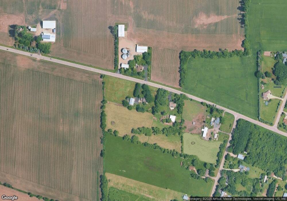
Map
Nearby Homes
- 3710 Raycraft Rd
- 12106 Baker Terrace
- 603 Handel Ln
- Block 153 Joseph St
- 1106 Rail Dr
- 2801 Haydn St
- 244 Joseph St
- 905 Hickory Rd
- 908 Hickory Rd
- 1626 Wheeler St
- Route 14 N Rose Farm Rd
- 0 N Rose Farm Rd Unit 18628646
- 814 Robert Dr
- 1546 Wheeler St
- 0 Rt 47 & Lucas Rd Unit MRD12293021
- 1819 Woodside Dr
- 704 N Rose Farm Rd
- 13808 Washington St
- 1832 Yasgur Dr
- 740 Victoria Dr
- 13415 Charles Rd
- 2420 Lamb Rd
- 2404 Lamb Rd
- 2301 Lamb Rd
- 2410 Lamb Rd
- 2312 Lamb Rd
- 13710 Charles Rd
- 2505 Raycraft Rd
- 2220 Lamb Rd
- 2211 Lamb Rd
- 13214 Charles Rd
- 2515 Raycraft Rd
- 2218 Lamb Rd
- 0 Nelson Rd Unit 9704882
- 0 Nelson Rd Unit 7124908
- 0 Nelson Rd Unit 10589923
- 0 Nelson Rd Unit 10147834
- 2709 Raycraft Rd
- 13105 Charles Rd