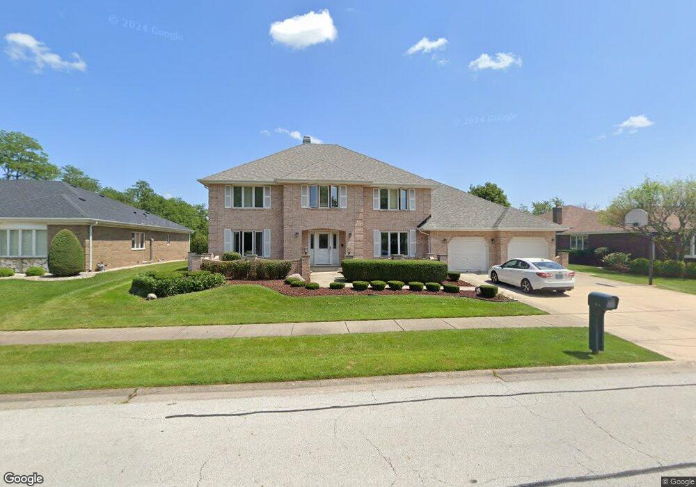
13511 Pawnee Rd Orland Park, IL 60462
Silver Lake North NeighborhoodEstimated Value: $592,638 - $675,000
4
Beds
3
Baths
3,765
Sq Ft
$165/Sq Ft
Est. Value
About This Home
This home is located at 13511 Pawnee Rd, Orland Park, IL 60462 and is currently estimated at $619,660, approximately $164 per square foot. 13511 Pawnee Rd is a home located in Cook County with nearby schools including Prairie Elementary School, Liberty Elementary School, and Jerling Junior High School.
Ownership History
Date
Name
Owned For
Owner Type
Purchase Details
Closed on
Apr 17, 2023
Sold by
Maali Zahieh
Bought by
Zahieh Maali Revocable Trust
Current Estimated Value
Purchase Details
Closed on
Oct 10, 2022
Sold by
Old National Bank
Bought by
Maali Zahieh
Purchase Details
Closed on
May 3, 2005
Sold by
Maali Nasser
Bought by
Standard Bank & Trust Co and Trust #18824
Purchase Details
Closed on
Aug 26, 1999
Sold by
Maali Izzat and Maali Zahieh
Bought by
Maali Nasser
Create a Home Valuation Report for This Property
The Home Valuation Report is an in-depth analysis detailing your home's value as well as a comparison with similar homes in the area
Home Values in the Area
Average Home Value in this Area
Purchase History
| Date | Buyer | Sale Price | Title Company |
|---|---|---|---|
| Zahieh Maali Revocable Trust | -- | None Listed On Document | |
| Maali Zahieh | -- | None Listed On Document | |
| Standard Bank & Trust Co | -- | Oconnor Title Services Inc | |
| Maali Nasser | -- | Chicago Title Insurance Co |
Source: Public Records
Tax History Compared to Growth
Tax History
| Year | Tax Paid | Tax Assessment Tax Assessment Total Assessment is a certain percentage of the fair market value that is determined by local assessors to be the total taxable value of land and additions on the property. | Land | Improvement |
|---|---|---|---|---|
| 2024 | $11,520 | $52,000 | $8,505 | $43,495 |
| 2023 | $10,820 | $52,000 | $8,505 | $43,495 |
| 2022 | $10,820 | $42,275 | $7,371 | $34,904 |
| 2021 | $9,389 | $42,275 | $7,371 | $34,904 |
| 2020 | $8,419 | $42,275 | $7,371 | $34,904 |
| 2019 | $9,173 | $46,688 | $6,804 | $39,884 |
| 2018 | $8,937 | $46,688 | $6,804 | $39,884 |
| 2017 | $8,582 | $46,688 | $6,804 | $39,884 |
| 2016 | $10,297 | $43,264 | $6,237 | $37,027 |
| 2015 | $10,713 | $43,264 | $6,237 | $37,027 |
| 2014 | $10,580 | $43,264 | $6,237 | $37,027 |
| 2013 | $10,374 | $44,984 | $6,237 | $38,747 |
Source: Public Records
Map
Nearby Homes
- 8005 Trafalgar Ct
- Barrington Plan at Misty Meadow
- Richmond Plan at Misty Meadow
- Dartmore Plan at Misty Meadow
- Beaumont Plan at Misty Meadow
- Compton Plan at Misty Meadow
- 13332 S Oakview Ct Unit V4
- 13302 S Oakview Ct Unit 1FR
- 7930 W Lakeview Ct Unit 2A
- 8115 Pluskota Dr
- 7734 W Foresthill Ln Unit 77342
- 13253 S Oak Ridge Trail Unit 2B
- 7711 W Oak Ridge Ct Unit 2A
- 7737 W Golf Dr Unit 101
- 7737 W Golf Dr Unit 201
- 13154 N Country Club Ct Unit 2B
- 13623 S 84th Ave
- 8309 W 132nd St
- 14023 Chelsea Dr
- 13028 S 82nd Ave