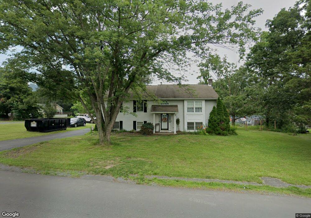
13513 Brant Rd SW Cumberland, MD 21502
Estimated Value: $221,000 - $290,000
--
Bed
2
Baths
1,344
Sq Ft
$191/Sq Ft
Est. Value
About This Home
This home is located at 13513 Brant Rd SW, Cumberland, MD 21502 and is currently estimated at $256,524, approximately $190 per square foot. 13513 Brant Rd SW is a home located in Allegany County with nearby schools including Cresaptown Elementary School, Braddock Middle School, and Allegany High School.
Ownership History
Date
Name
Owned For
Owner Type
Purchase Details
Closed on
Mar 31, 2003
Sold by
Hoover Richard J Vicki Rae Bailey
Bought by
Nicol Adam W and Nicol Kathryn J
Current Estimated Value
Purchase Details
Closed on
Aug 12, 1997
Sold by
Bowman Wylie L and Bowman Rosetta Caroll
Bought by
Hoover Richard J Vicki Rae Bailey
Purchase Details
Closed on
Apr 10, 1995
Sold by
Harbert Ronald J and Harbert Kamela T
Bought by
Bowman Wylie L and Bowman Rosetta Caroll
Create a Home Valuation Report for This Property
The Home Valuation Report is an in-depth analysis detailing your home's value as well as a comparison with similar homes in the area
Home Values in the Area
Average Home Value in this Area
Purchase History
| Date | Buyer | Sale Price | Title Company |
|---|---|---|---|
| Nicol Adam W | $135,000 | -- | |
| Hoover Richard J Vicki Rae Bailey | $115,000 | -- | |
| Bowman Wylie L | $105,000 | -- |
Source: Public Records
Mortgage History
| Date | Status | Borrower | Loan Amount |
|---|---|---|---|
| Closed | Hoover Richard J Vicki Rae Bailey | -- |
Source: Public Records
Tax History Compared to Growth
Tax History
| Year | Tax Paid | Tax Assessment Tax Assessment Total Assessment is a certain percentage of the fair market value that is determined by local assessors to be the total taxable value of land and additions on the property. | Land | Improvement |
|---|---|---|---|---|
| 2025 | $2,784 | $204,200 | $39,600 | $164,600 |
| 2024 | $2,784 | $189,767 | $0 | $0 |
| 2023 | $1,906 | $175,333 | $0 | $0 |
| 2022 | $2,360 | $160,900 | $30,900 | $130,000 |
| 2021 | $2,333 | $160,533 | $0 | $0 |
| 2020 | $2,350 | $160,167 | $0 | $0 |
| 2019 | $2,344 | $159,800 | $31,800 | $128,000 |
| 2018 | $2,344 | $159,800 | $31,800 | $128,000 |
| 2017 | $2,346 | $159,800 | $0 | $0 |
| 2016 | $0 | $162,100 | $0 | $0 |
| 2015 | -- | $162,100 | $0 | $0 |
| 2014 | -- | $162,100 | $0 | $0 |
Source: Public Records
Map
Nearby Homes
- 14620 Redwood St
- 14609 Ethridge St
- 13704 Fir Tree Ln
- 0 Fir Tree Ln Unit MDAL2012106
- 14801 Connecticut Ave
- 13721 Rock Garden Rd SW
- 13815 Brant Rd SW
- 14716 Howard St
- LOT 127 Howard St
- 11813 Illinois Ave
- 14526 Mcmullen Hwy SW
- 14201 Winchester Rd SW
- 0 Oakwood St
- 15104 Truly Dr SW
- 14100 Brant Rd SW
- 12706 Darrows Ave
- 14248 Cunningham Dr SW
- 14507 Bourbon St SW
- 14605 Mcgill Dr SW
- 15421 Shamrock Rd SW
- 13511 Brant Rd SW
- 13517 Brant Rd SW
- 13515 Brant Rd SW
- 14623 Redwood St
- 13510 Brant Rd SW
- 13508 Brant Rd SW
- 13519 Brant Rd SW
- 13514 Brant Rd SW
- 13506 Brant Rd SW
- 13521 Brant Rd SW
- 14619 Redwood St
- 13507 Brant Rd SW
- 13516 Brant Rd SW
- 13604 Cecil Ave
- 14801 Hay St
- 14800 Hay St
- 14797 Bell St
- 14618 Redwood St
- 13523 Brant Rd SW
- 14615 Redwood St